


Die Tour beginnt am Anfang der Versorgungsstraße zum Schneeberggipfel (gesperrt). Sie führt rechts auf einem verschneiten Forstweg zum Haberstein.
Von dort bis zur Spitzkehre dann auf einem Pfad zum H-Weg und über den zum Schneeerggipfel.
Abwärts geht es dann über einen Steig und entlang der Versorgungsstraße.
Tipp: Beste Zeit, Montag Morgen nach Neuschnee am Sonntag Abend ;-)
Viel Spass!
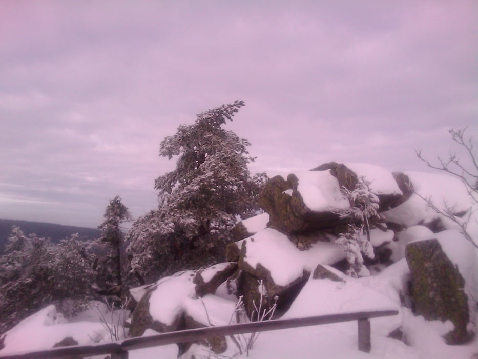
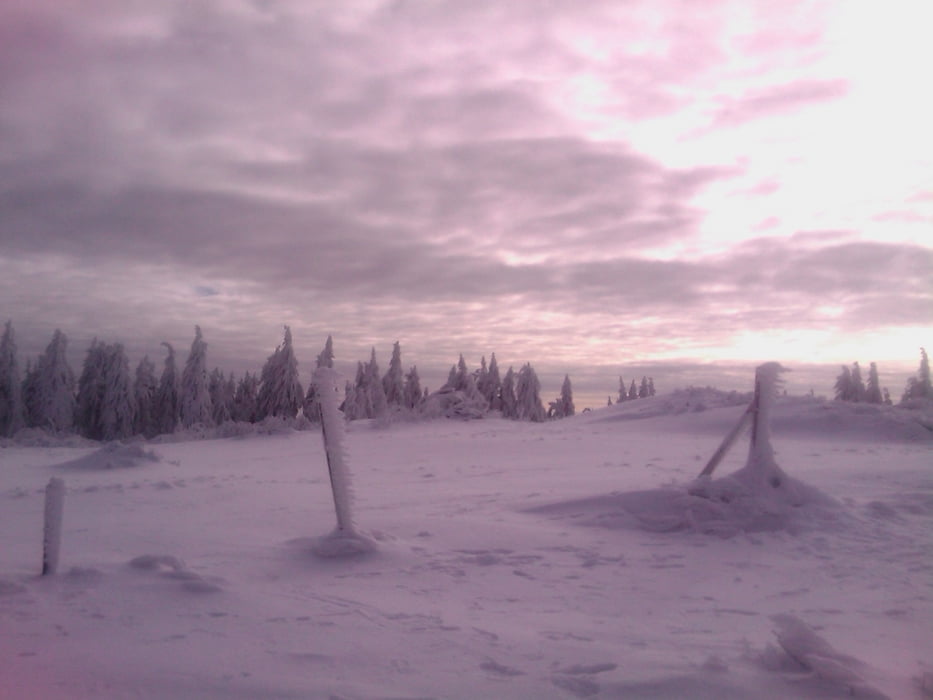
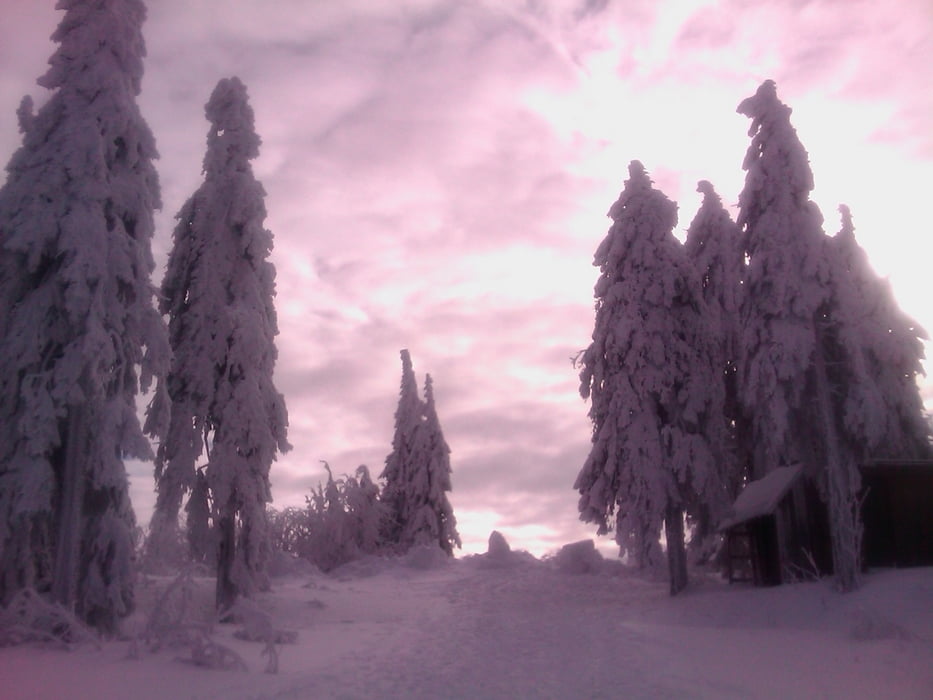
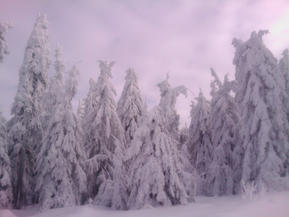
Tour gallery
Tour map and elevation profile
Minimum height 786 m
Maximum height 1052 m
More about the tour author
|
|
berndhuber |
Comments

A9 Abfahrt Bayreuth Nord >Bischofsgrün B303 >Höhenklinik 2.rechts
GPS tracks
Trackpoints-
GPX / Garmin Map Source (gpx) download
-
TCX / Garmin Training Center® (tcx) download
-
CRS / Garmin Training Center® (crs) download
-
Google Earth (kml) download
-
G7ToWin (g7t) download
-
TTQV (trk) download
-
Overlay (ovl) download
-
Fugawi (txt) download
-
Kompass (DAV) Track (tk) download
-
Track data sheet (pdf) download
-
Original file of the author (gpx) download
More about the tour author
|
|
berndhuber |
Add to my favorites
Remove from my favorites
Edit tags
Open track
My score
Rate