

Aufstieg: 2 std.45 min.
Abfahrt: 35min.
Vom Parkplatz in westlicher Richtung, knapp oberhalb des letzten Gebäudes,einem kleinen flachen Weg folgen, bis mann auf die asphaltierte Almstraße zur Pecolalm trifft.
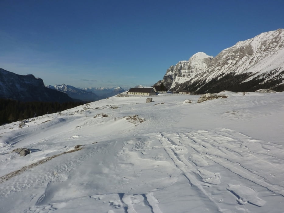
Der Straße ca. 3km folgen, bis mann das freie Gelände der weitläufigen Pecolalm erreicht,1500m.
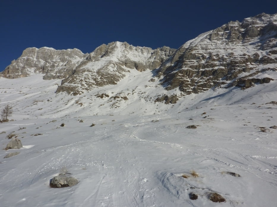
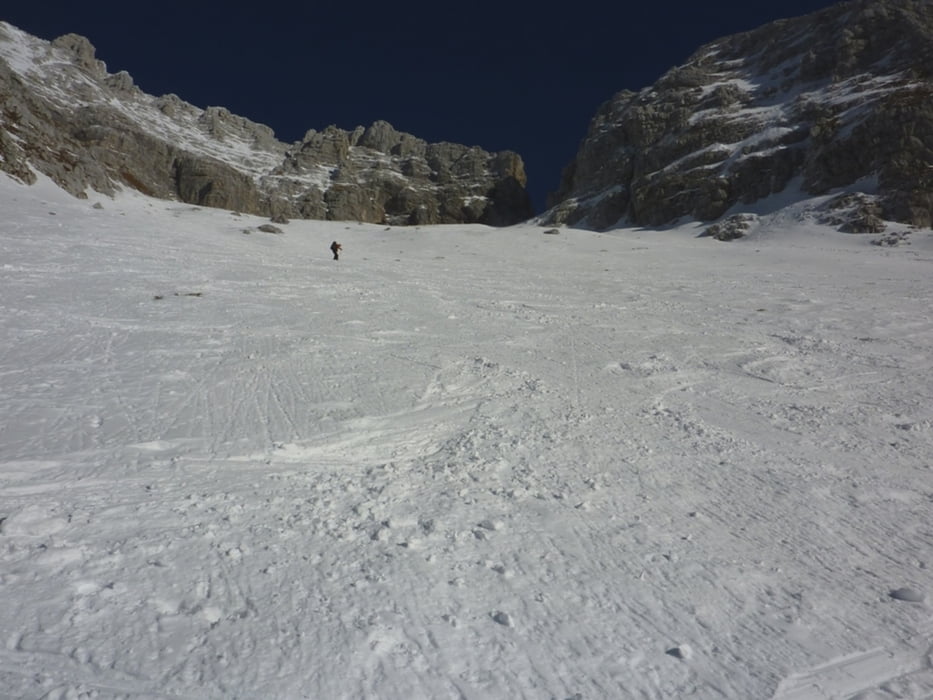
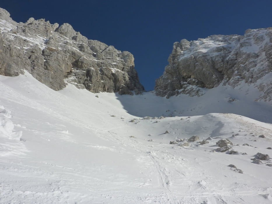
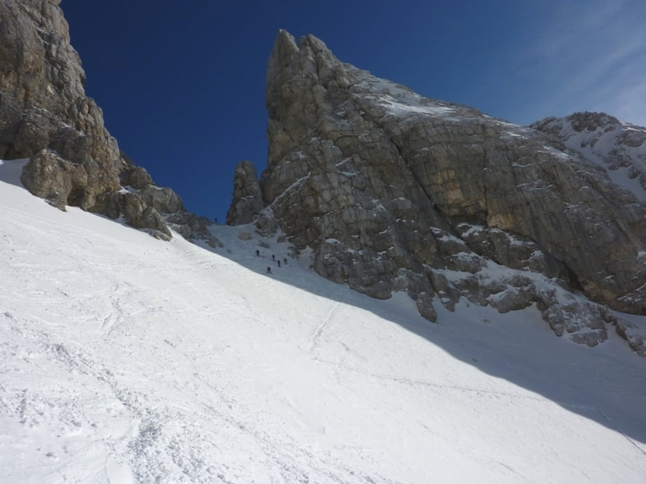
Weiter Richtung NO auf einem kleinen Almweg zum Rif. Brazza, 1660m. Anschließend über flache Almböden unter der Cima di Terra Rossa Richtung NW queren bis mann das etwas versteckte Kar zwischen Montasio und Cima di Terra Rossa erreicht. Im breiten, etas steiler werdenden Karhoch zur Forca del Palone 2242m.
Abfahrt wie Aufstieg
Tour gallery
Tour map and elevation profile
Minimum height 1149 m
Maximum height 2252 m
More about the tour author
|
|
harald07071 |
Comments

Von Villach über die Autobahn bis Tarvisio, auf der Bundesstraße nach Cave del Predil und zum Lago di Predil.
Dort nach Westen Richtung Sella Nevea abbiegen.
Sella Nevea 1190m
GPS tracks
Trackpoints-
GPX / Garmin Map Source (gpx) download
-
TCX / Garmin Training Center® (tcx) download
-
CRS / Garmin Training Center® (crs) download
-
Google Earth (kml) download
-
G7ToWin (g7t) download
-
TTQV (trk) download
-
Overlay (ovl) download
-
Fugawi (txt) download
-
Kompass (DAV) Track (tk) download
-
Track data sheet (pdf) download
-
Original file of the author (gpx) download
More about the tour author
|
|
harald07071 |
Add to my favorites
Remove from my favorites
Edit tags
Open track
My score
Rate