
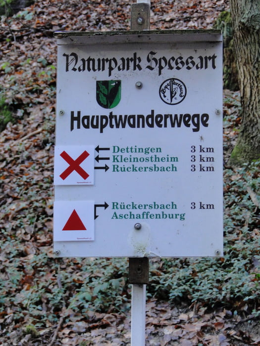

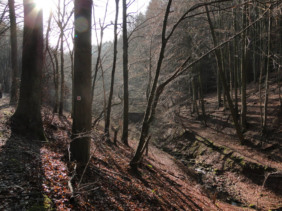
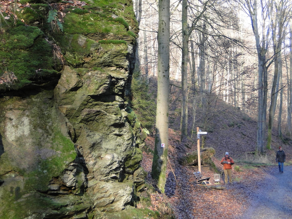
Von Maintal erreicht man über die A66 und A45 Kleinostheim. Dann ging's weiter zum "Häuserackerhof" wo wir die Autos parkten. Zunächst wanderten wir durch den Wald nach Rückersbach. Sie können abweichend vom Track nach dem Häuserackerhof auch gleich den ersten Wirtschaftsweg der links abzweigt nehmen. Wenn Sie an der nächsten Gabelung den linken statt den rechten Abzweig nehmen sparen Sie etliche Kilometer. Sie kommen automatisch wieder auf unseren Track. In Rückersbach können Sie einkehren, um gestärkt den Rückweg durch die "Rückersbacher Schlucht" <5km anzutreten.
In Google suchen nach "rückersbacher schlucht wanderung" zeigt Ihnen ein Vielzahl Wanderungen zu diesem Thema.
Tour gallery

Tour map and elevation profile
Minimum height 122 m
Maximum height 345 m
More about the tour author
|
|
Bischemer |
Comments

Individuell mit Navi-Einstellung "Kleinostheim" "Häuserackerstraße". Weiter fahren bis zum "Häuserackerhof" (Gasthof Capucino)
GPS tracks
Trackpoints-
GPX / Garmin Map Source (gpx) download
-
TCX / Garmin Training Center® (tcx) download
-
CRS / Garmin Training Center® (crs) download
-
Google Earth (kml) download
-
G7ToWin (g7t) download
-
TTQV (trk) download
-
Overlay (ovl) download
-
Fugawi (txt) download
-
Kompass (DAV) Track (tk) download
-
Track data sheet (pdf) download
-
Original file of the author (gpx) download
More about the tour author
|
|
Bischemer |
Add to my favorites
Remove from my favorites
Edit tags
Open track
My score
Rate