Login

Forgot your login?

Cookies have to be accepted!
Your browser's cookie functionality is disabled. Please enable this functionality.

Not a member yet?

Register now
Login

Available for registred users only

Log in to use this feature.

Forgot your login?

Cookies have to be accepted!
Your browser's cookie functionality is disabled. Please enable this functionality.

Not a member yet?

Register now
Filter
Categories
Advanced filters
  • Distance (km)
  • Height
Save filters Reset filter

TrackRank

QRCode

Technical data

Distance9,4 km Height201 m Way down198 m Duration02:00 h:m Date31.01.2012
Scores Author Landscape Fun factor Fitness Technique

Statistics

203 Views Scores 17 Downloads Average
Rate
  • Track data sheet
  • Directions
  • Downloads

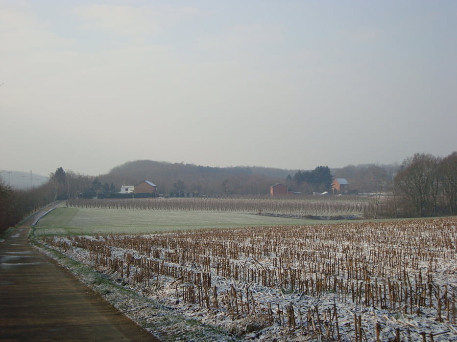
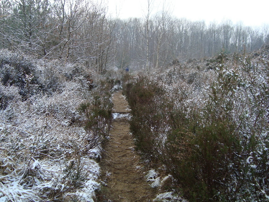
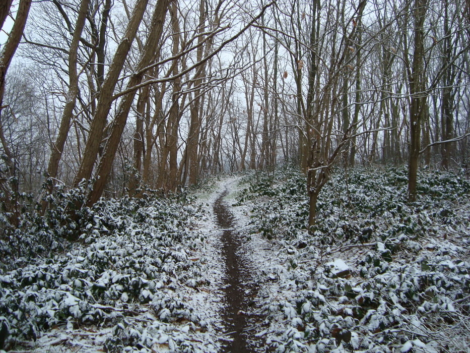
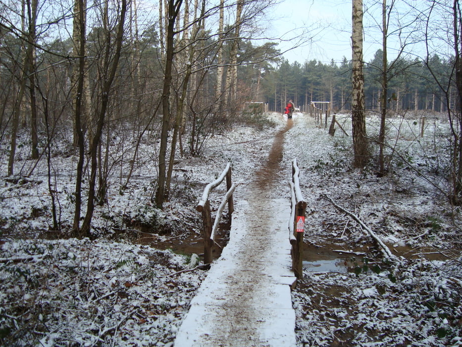
Bij nat weer kunnen er modderige stukken bij zijn.

Stevig en waterdicht wandelschoeisel is een must

Niet geschikt voor rolstoelen en kinderwagens

Tour gallery

Tour map and elevation profile

  • Open Street Map
  • Google
Minimum height 9 m Maximum height 63 m Detailed view

More about the tour author

ikkel
Member since 2009

Send private message

Comments

De afspanning Moedermeule is gesloten op maandag en dinsdag. In juli en augustus zijn ze wel elke dag open.

GPS tracks

Trackpoints
  • GPX / Garmin Map Source (gpx) download
  • TCX / Garmin Training Center® (tcx) download
  • CRS / Garmin Training Center® (crs) download
  • Google Earth (kml) download
  • G7ToWin (g7t) download
  • TTQV (trk) download
  • Overlay (ovl) download
  • Fugawi (txt) download
  • Kompass (DAV) Track (tk) download
  • Track data sheet (pdf) download
  • Original file of the author (gpx) download

More about the tour author

ikkel
Member since 2009

Send private message
Share track
Add to my favorites
Remove from my favorites
Edit tags
My score
Rate
Track: Wandelen rond Gelrode
Type: Hiking
Distance: 9,4 km
Evaluated on:
Duration:
Day(s)
Hour(s)
Minute(s)
Score: Landscape Fun factor Fitness Technique