
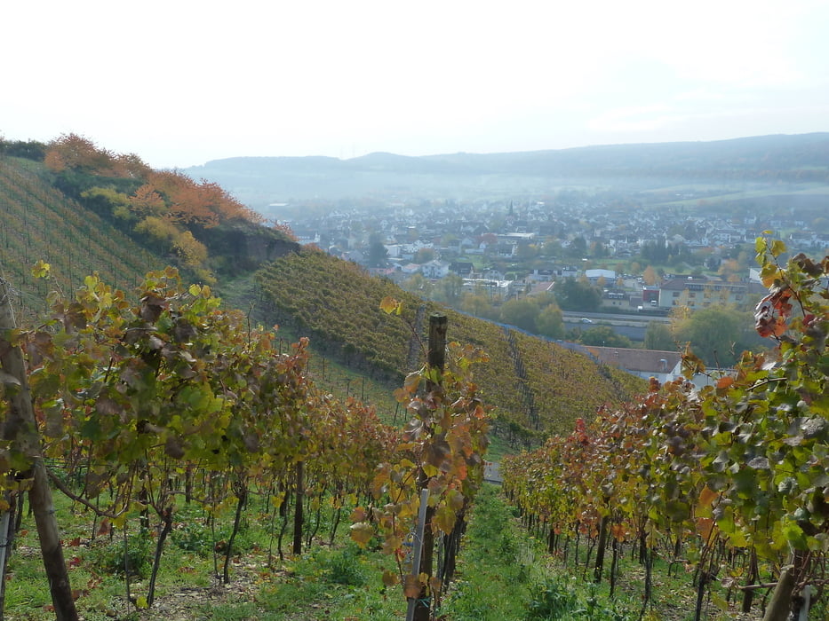

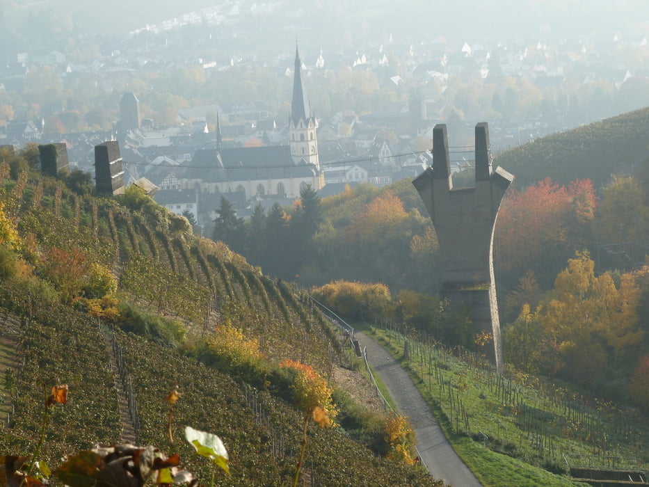
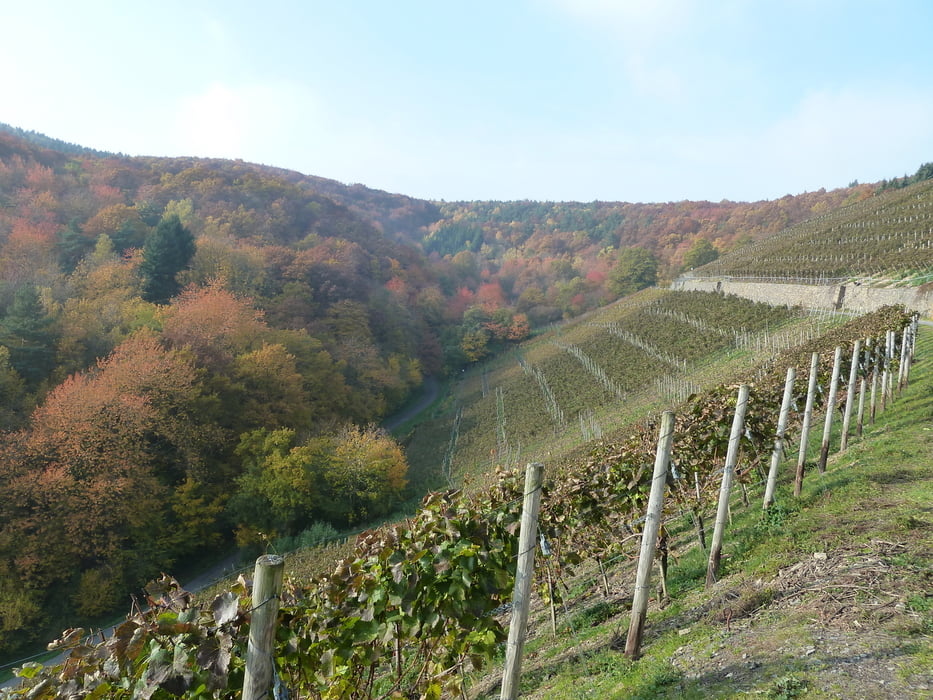
Startpunkt Bahnhof Heimersheim (Im Wanderführer startet er ungünstig von einem Parkplatz, Bahnhof ist aber viel einfacher, da man mit der Bahn wieder zurück kommen kann)
Strecke ist ohne große Kraftanstrengung gut zu schaffen. Die Ausdauer für 20km Wegstrecke sollte man aber haben.
Ende Dernau -Bahnhof- hier wieder mit Bahn zurück nach Heimersheim
Tour gallery
Tour map and elevation profile
Minimum height 55 m
Maximum height 241 m
More about the tour author
|
|
koelner1977 |
Comments

Startpunkt Bahnhof Heimersheim (Im Wanderführer startet er ungünstig von einem Parkplatz, Bahnhof ist aber viel einfacher, da man mit der Bahn wieder zurück kommen kann)
Strecke ist ohne große Kraftanstrengung gut zu schaffen. Die Ausdauer für 20km Wegstrecke sollte man aber haben.
Ende Dernau -Bahnhof- hier wieder mit Bahn zurück nach Heimersheim
GPS tracks
Trackpoints-
GPX / Garmin Map Source (gpx) download
-
TCX / Garmin Training Center® (tcx) download
-
CRS / Garmin Training Center® (crs) download
-
Google Earth (kml) download
-
G7ToWin (g7t) download
-
TTQV (trk) download
-
Overlay (ovl) download
-
Fugawi (txt) download
-
Kompass (DAV) Track (tk) download
-
Track data sheet (pdf) download
-
Original file of the author (gpx) download
More about the tour author
|
|
koelner1977 |
Add to my favorites
Remove from my favorites
Edit tags
Open track
My score
Rate