Login

Forgotten password?

Cookies have to be accepted!
Your browser's cookie functionality is disabled. Please enable this functionality.

Not a member yet?

Register now
Login

Available for registred users only

Log in to use this feature.

Forgotten password?

Cookies have to be accepted!
Your browser's cookie functionality is disabled. Please enable this functionality.

Not a member yet?

Register now
Filter
Categories
Advanced filters
  • Distance (km)
  • Height
Save filters Reset filter

TrackRank

QRCode

Technical data

Distance6,1 km Height363 m Way down385 m Duration00:00 h:m Date19.02.2012
Scores Author Landscape Fun factor Fitness Technique

Statistics

2168 Views Scores 65 Downloads Average
Rate
  • Track data sheet
  • Directions
  • Downloads

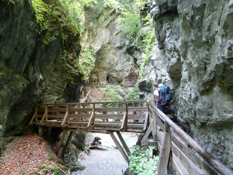
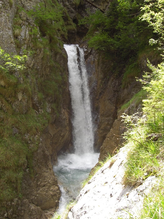
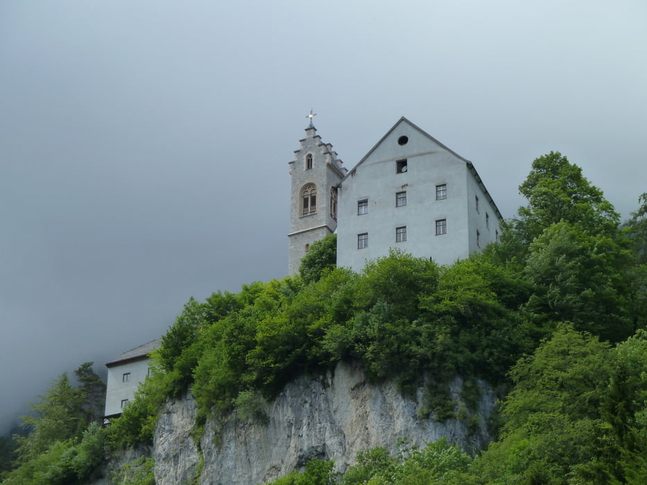
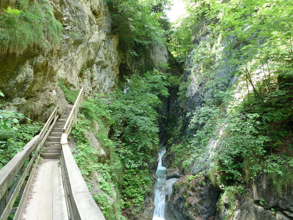
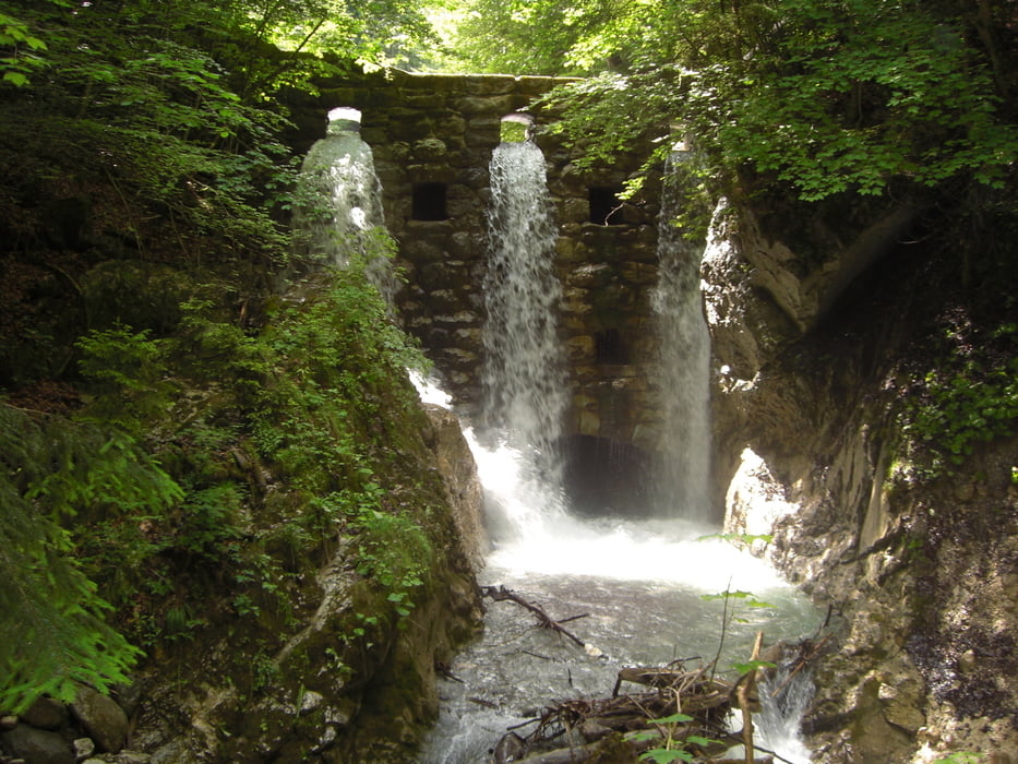
Nette Ausflugstour durch enge Schlucht mit Klostereinkehr. Rückweg ruhigen Waldweg.


Tour gallery

Tour map and elevation profile

  • Open Street Map
  • Google
Minimum height 560 m Maximum height 912 m Detailed view

More about the tour author

koelner1977
Member since 2012

Send private message

Comments

Start/Ziel Stans bei Insbruck. Entweder Parkplatz direkt Schluchteingang oder Parkplatz an der kleineren Kirche im Ort.


GPS tracks

Trackpoints
  • GPX / Garmin Map Source (gpx) download
  • TCX / Garmin Training Center® (tcx) download
  • CRS / Garmin Training Center® (crs) download
  • Google Earth (kml) download
  • G7ToWin (g7t) download
  • TTQV (trk) download
  • Overlay (ovl) download
  • Fugawi (txt) download
  • Kompass (DAV) Track (tk) download
  • Track data sheet (pdf) download
  • Original file of the author (gpx) download

More about the tour author

koelner1977
Member since 2012

Send private message
Share track
Add to my favorites
Remove from my favorites
Edit tags
My score
Rate
Track: Wolfsschlucht / Stans bei Insbruck
Type: Hiking
Distance: 6,1 km
Evaluated on:
Duration:
Day(s)
Hour(s)
Minute(s)
Score: Landscape Fun factor Fitness Technique