Login

Forgotten password?

Cookies have to be accepted!
Your browser's cookie functionality is disabled. Please enable this functionality.

Not a member yet?

Register now
Login

Available for registred users only

Log in to use this feature.

Forgotten password?

Cookies have to be accepted!
Your browser's cookie functionality is disabled. Please enable this functionality.

Not a member yet?

Register now
Filter
Categories
Advanced filters
  • Distance (km)
  • Height
Save filters Reset filter

TrackRank

QRCode

Technical data

Distance10,1 km Height236 m Way down279 m Duration00:00 h:m Date20.02.2012
Scores Author Landscape Fun factor Fitness Technique

Statistics

430 Views Scores 47 Downloads Average
Rate
  • Track data sheet
  • Directions
  • Downloads

Schöne und kurze 10 km Wanderstrecke, die optimalerweise mit einem Besuch im Vogel- und Affenpark in Eckenhagen verbunden werden kann.
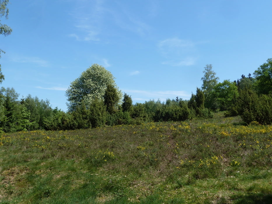
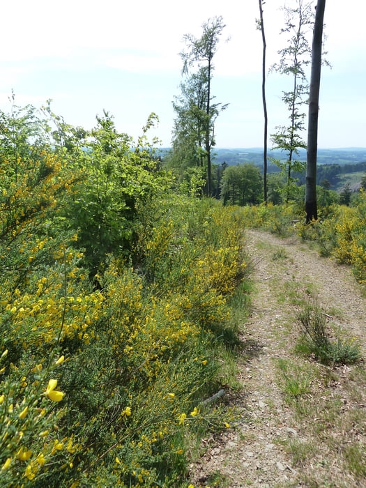
Während der Strecke kommt man an einem schönen Wacholdergelände und einem Buchenwald vorbei.
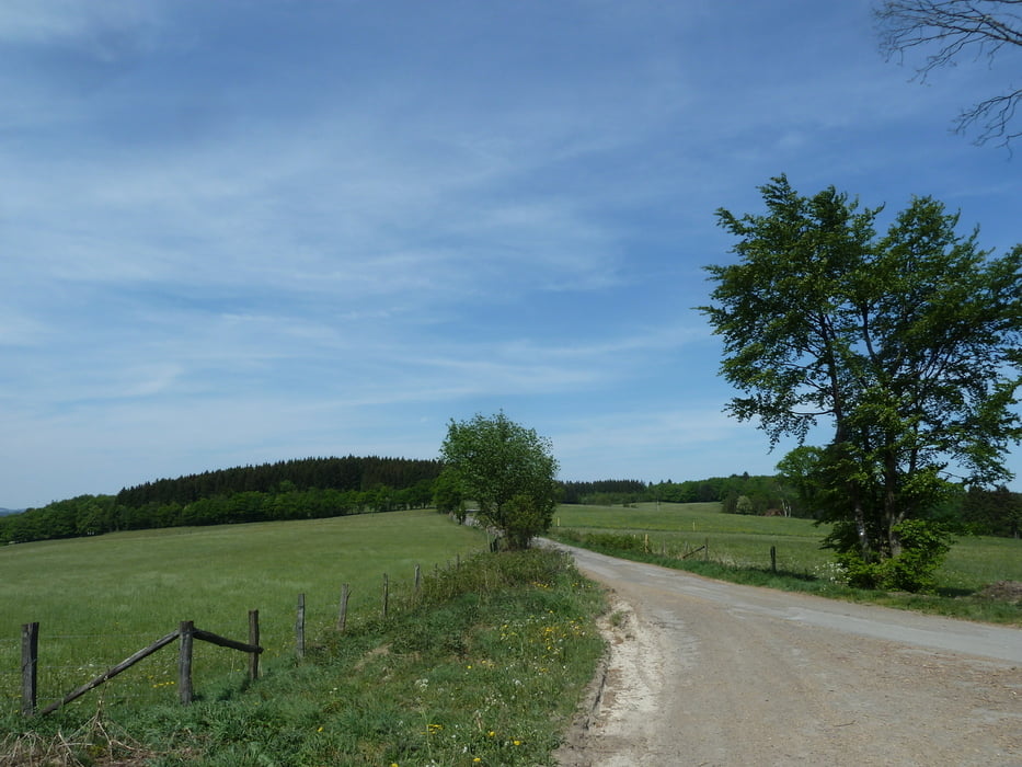
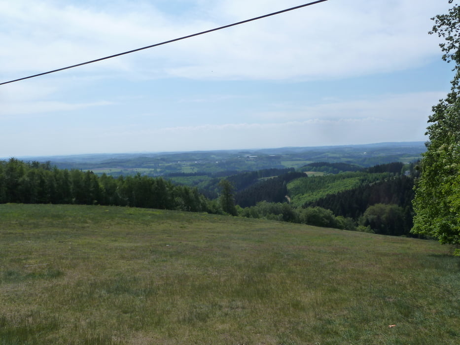
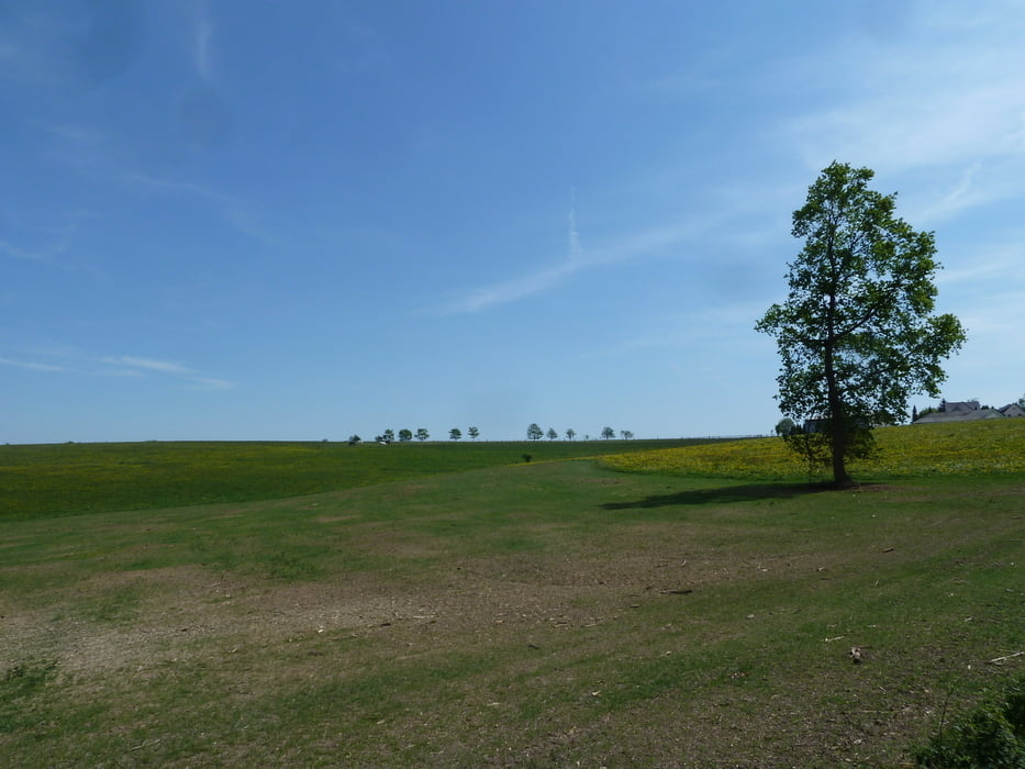
 

Tour gallery

Tour map and elevation profile

  • Open Street Map
  • Google
Minimum height 280 m Maximum height 495 m Detailed view

More about the tour author

koelner1977
Member since 2012

Send private message

Comments

Start Ziel: 51580 Reichshof-Eckenhagen, Haupstrasse.
Wanderparkplatz kurz vor Ortseingang in einer Linkskurve (von Autobahn aus)


GPS tracks

Trackpoints
  • GPX / Garmin Map Source (gpx) download
  • TCX / Garmin Training Center® (tcx) download
  • CRS / Garmin Training Center® (crs) download
  • Google Earth (kml) download
  • G7ToWin (g7t) download
  • TTQV (trk) download
  • Overlay (ovl) download
  • Fugawi (txt) download
  • Kompass (DAV) Track (tk) download
  • Track data sheet (pdf) download
  • Original file of the author (gpx) download

More about the tour author

koelner1977
Member since 2012

Send private message
Share track
Add to my favorites
Remove from my favorites
Edit tags
My score
Rate
Track: Ins Skigebiet bei Eckenhagen aus Rother Wanderführer -Bergisches Land- Nr. 44
Type: Hiking
Distance: 10,1 km
Evaluated on:
Duration:
Day(s)
Hour(s)
Minute(s)
Score: Landscape Fun factor Fitness Technique