


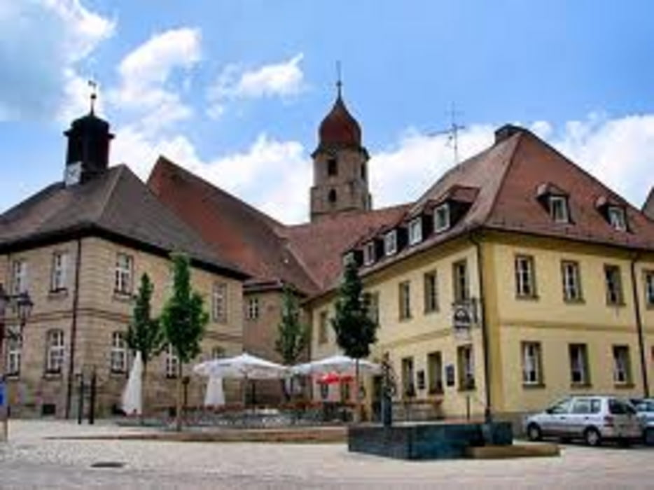
Erster 100er 2012 oder durch die Karpfenweiher bei Höchstadt und immer schön am Rand des Steigerwaldes.
Schöne Runde auf teils wenig befahrenen Straßen.
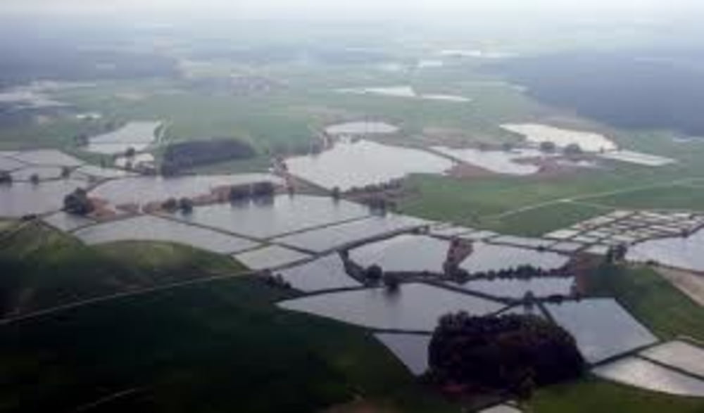
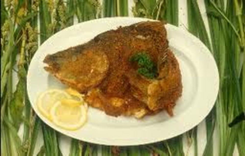
#Der Aischgründer Spiegelkarpfen gilt paniert als eine regionale Delikatesse, die es auch zur internationalen Bekanntheit geschafft hat. Im Aischgrund gab es insgesamt 1.500 Weiher, in denen der Karpfen seit dem Mittelalter systematisch gezüchtet wird. Entlang dem Flusslauf führt die Aischgründer Bierstraße von Bad Windsheim bis Höchstadt an der Aisch. ;-)#
Further information at
http://www.langenzenn.de/Tour gallery
Tour map and elevation profile
Minimum height 271 m
Maximum height 397 m
More about the tour author
|
|
FLU |
Comments

GPS tracks
Trackpoints-
GPX / Garmin Map Source (gpx) download
-
TCX / Garmin Training Center® (tcx) download
-
CRS / Garmin Training Center® (crs) download
-
Google Earth (kml) download
-
G7ToWin (g7t) download
-
TTQV (trk) download
-
Overlay (ovl) download
-
Fugawi (txt) download
-
Kompass (DAV) Track (tk) download
-
Track data sheet (pdf) download
-
Original file of the author (gpx) download
More about the tour author
|
|
FLU |
Add to my favorites
Remove from my favorites
Edit tags
Open track
My score
Rate