


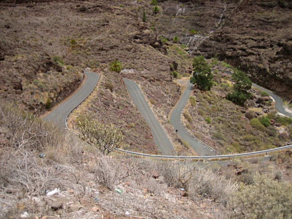
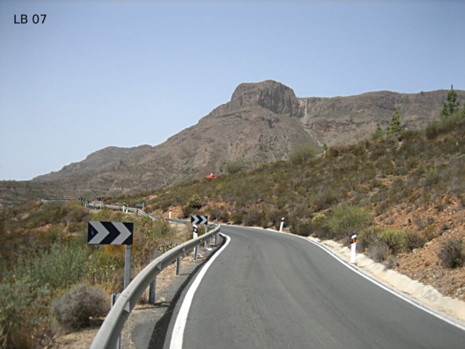
At the beginning of the long cycling tour in Gran Canaria you drive through Playa del Ingles and Maspalomas past many beautiful hotels along to the west. After the golf course in Meloneras you’ll drive on the road - GC-500 in the direction of Puerto de Mogan. As you can see in the altitude profile of this interesting Gran Canaria cycling tour there is on the streets of Playa del Ingles to Puerto de Mogan only some flat sections. Up to Puerto de Mogan, the bicycle tour is also much longer than it appears on the map, because the road passes through all the little bays on the southwest coast of Gran Canaria. The coasts are transformed from Playa del Ingles to Puerto de Mogan often more from a shallow sandy beach to steep rocks. This is why you have to drive often uphill and downhill. The first major city of this coast - cycling tour in Gran Canaria is at around 17 kilometers in Arguineguin.
more informations and photos you'll find on biketours4you.at
Tour gallery
Tour map and elevation profile
Minimum height 9 m
Maximum height 1316 m
More about the tour author
|
|
Trek1400d |
Comments

GPS tracks
Trackpoints-
GPX / Garmin Map Source (gpx) download
-
TCX / Garmin Training Center® (tcx) download
-
CRS / Garmin Training Center® (crs) download
-
Google Earth (kml) download
-
G7ToWin (g7t) download
-
TTQV (trk) download
-
Overlay (ovl) download
-
Fugawi (txt) download
-
Kompass (DAV) Track (tk) download
-
Track data sheet (pdf) download
-
Original file of the author (gpx) download
More about the tour author
|
|
Trek1400d |
Add to my favorites
Remove from my favorites
Edit tags
Open track
My score
Rate