


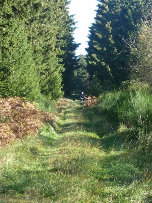
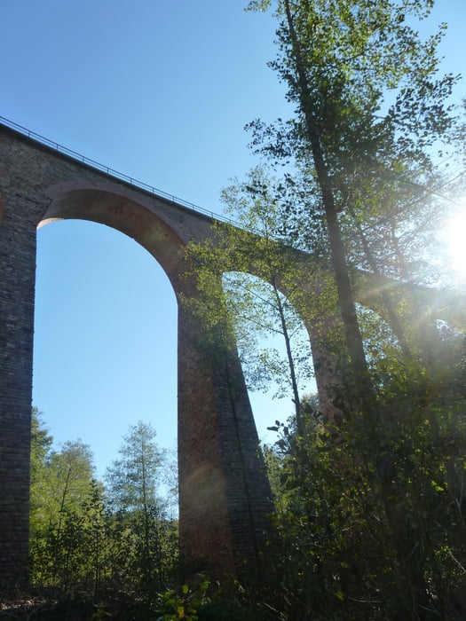
Variation der Viadukt von Hoxel-Tour. Start in Langweiler Richtung Morbach auf den Höhenkamm, auf dem weiter in Richtung Westen. Kurz vor dem Viadukt geht in einer Kehre des Waldwegs auf einen kleinen Pfad nach rechts ab. Wie auf der Originaltour haben auch wir uns vertan. Haben den Fehler extra belassen. Westl. Drehpunkt ist das Viadukt, dann Teilweise über Strasse zurück nach Langweiler. Mittagessen im Hotel und dannach östl. Schleife der Tour. Zur Originaltour reduzierter Strassenanteil.
Tour gallery

Tour map and elevation profile
Minimum height 400 m
Maximum height 765 m
More about the tour author
|
|
bidenharn |
Comments

Start und Mittagpause in Langweiler
GPS tracks
Trackpoints-
GPX / Garmin Map Source (gpx) download
-
TCX / Garmin Training Center® (tcx) download
-
CRS / Garmin Training Center® (crs) download
-
Google Earth (kml) download
-
G7ToWin (g7t) download
-
TTQV (trk) download
-
Overlay (ovl) download
-
Fugawi (txt) download
-
Kompass (DAV) Track (tk) download
-
Track data sheet (pdf) download
-
Original file of the author (gpx) download
More about the tour author
|
|
bidenharn |
Add to my favorites
Remove from my favorites
Edit tags
Open track
My score
Rate