
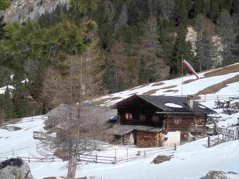

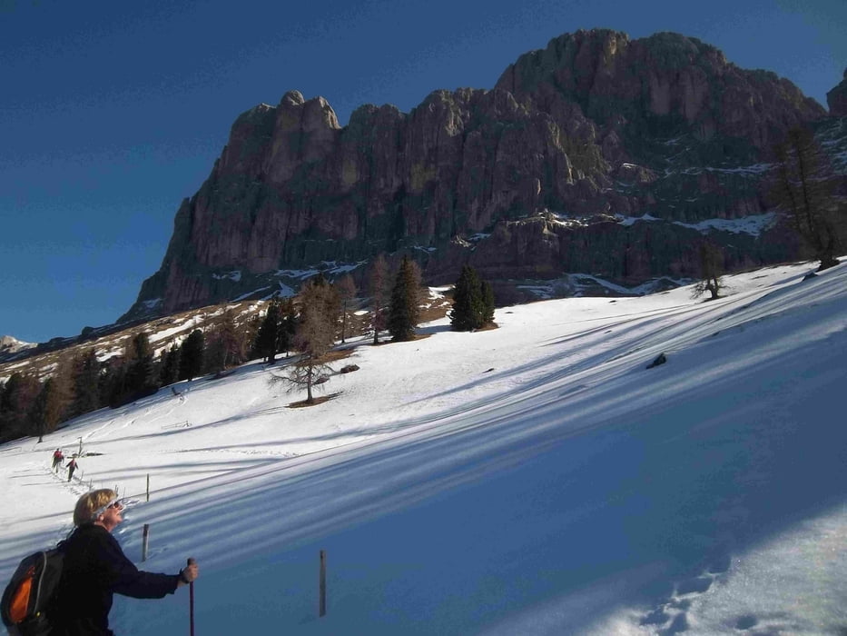
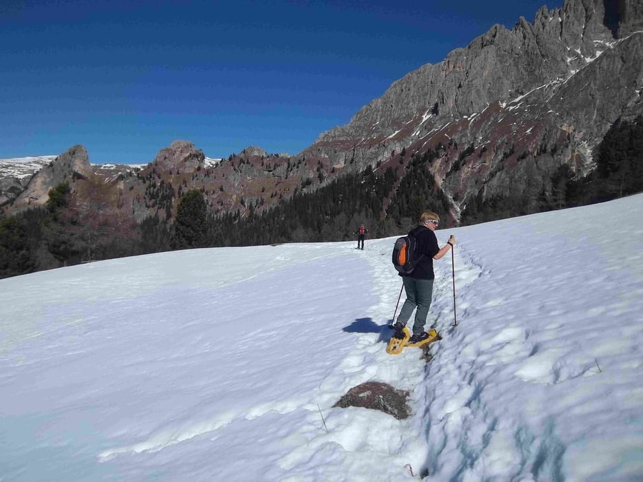
Wir sind mit dem Bus bis zum Nigerpass gefahren. Vom Parkplatz aus erst auf der Rodelbahn und dann auf den Wanderweg 7 abgebogen. Kurz vor einer Alm führt der Weg rechts zur Hanicker Schwaige. Unterhalb des Rosengartens dem Weg folgen. Rast auf der am Wochenende bewirtschafteten Hütte. Ab jetzt nur noch bergab über die Platösch Alm bis nach St. Zyprian.
Tour gallery
Tour map and elevation profile
Minimum height 1120 m
Maximum height 2001 m
More about the tour author

|
bernd_brinck |
Comments

Brennerautobahn bis zur Ausfahrt Bozen nord. Jetzt zurück Richtung Völs-Tiers. Nach Tiers abbiegen und durch Tiers bis St. Zyprian. Hier das Auto stehen lassen und mit dem Bus bis zum Nigerpass.
GPS tracks
Trackpoints-
GPX / Garmin Map Source (gpx) download
-
TCX / Garmin Training Center® (tcx) download
-
CRS / Garmin Training Center® (crs) download
-
Google Earth (kml) download
-
G7ToWin (g7t) download
-
TTQV (trk) download
-
Overlay (ovl) download
-
Fugawi (txt) download
-
Kompass (DAV) Track (tk) download
-
Track data sheet (pdf) download
-
Original file of the author (gpx) download
More about the tour author
|
|
bernd_brinck |
Add to my favorites
Remove from my favorites
Edit tags
Open track
My score
Rate