Login

Forgot your login?

Cookies have to be accepted!
Your browser's cookie functionality is disabled. Please enable this functionality.

Not a member yet?

Register now
Login

Available for registred users only

Log in to use this feature.

Forgot your login?

Cookies have to be accepted!
Your browser's cookie functionality is disabled. Please enable this functionality.

Not a member yet?

Register now
Filter
Categories
Advanced filters
  • Distance (km)
  • Height
Save filters Reset filter

TrackRank

QRCode

Technical data

Distance20,8 km Height342 m Way down213 m Duration00:00 h:m Date11.03.2012
Scores Author Landscape Fun factor Fitness Technique

Statistics

1524 Views Scores 53 Downloads Average
Rate
  • Track data sheet
  • Directions
  • Downloads

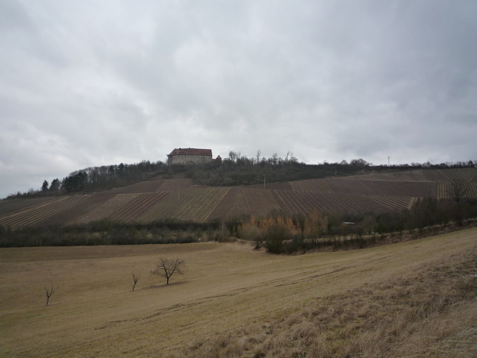
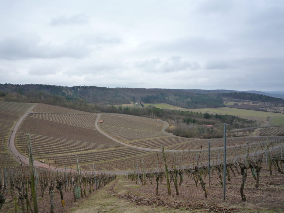
Schöne Wanderung auf der Frankenhöhe zwischen der Aurachquelle und der Burg Hoheneck mit seinen schönen Weinbergen. Toller Ausblick....

Jausenstation in den Weinbergen!


Als lange MB-Tour siehe auch: #92331

Further information at

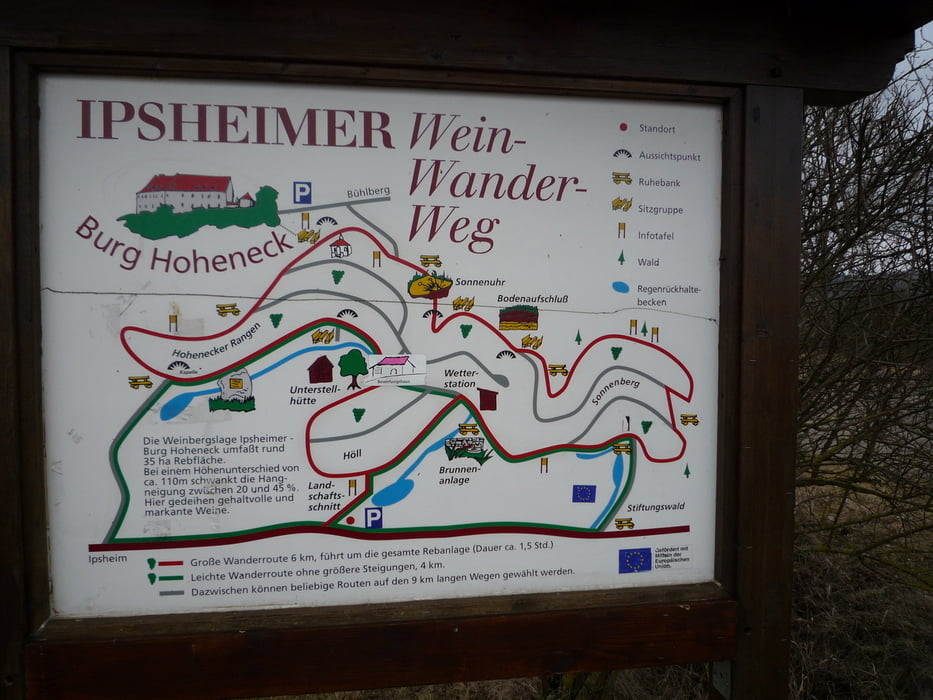
http://www.wein-aus-ipsheim.de/ipsheim/burg_hoheneck.html

Tour gallery

Tour map and elevation profile

  • Open Street Map
  • Google
Minimum height 245 m Maximum height 426 m Detailed view

More about the tour author

FLU
Member since 2009

Send private message

Comments

GPS tracks

Trackpoints
  • GPX / Garmin Map Source (gpx) download
  • TCX / Garmin Training Center® (tcx) download
  • CRS / Garmin Training Center® (crs) download
  • Google Earth (kml) download
  • G7ToWin (g7t) download
  • TTQV (trk) download
  • Overlay (ovl) download
  • Fugawi (txt) download
  • Kompass (DAV) Track (tk) download
  • Track data sheet (pdf) download
  • Original file of the author (gpx) download

More about the tour author

FLU
Member since 2009

Send private message
Share track
Add to my favorites
Remove from my favorites
Edit tags
My score
Rate
Track: Naturpark Frankenhöhe
Type: Hiking
Distance: 20,8 km
Evaluated on:
Duration:
Day(s)
Hour(s)
Minute(s)
Score: Landscape Fun factor Fitness Technique