Login

Forgot your login?

Cookies have to be accepted!
Your browser's cookie functionality is disabled. Please enable this functionality.

Not a member yet?

Register now
Login

Available for registred users only

Log in to use this feature.

Forgot your login?

Cookies have to be accepted!
Your browser's cookie functionality is disabled. Please enable this functionality.

Not a member yet?

Register now
Filter
Categories
Advanced filters
  • Distance (km)
  • Height
Save filters Reset filter

TrackRank

QRCode

Technical data

Distance12,5 km Height372 m Way down380 m Duration03:30 h:m Date12.03.2012
Scores Author Landscape Fun factor Fitness Technique

Statistics

352 Views Scores 13 Downloads Average
Rate
  • Track data sheet
  • Directions
  • Downloads

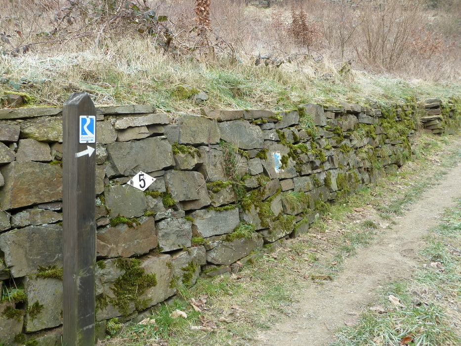
Schöne -nicht zulange- Strecke entlang des Rheinsteigs.
Strecke auch für ungeübte gut zu schaffen. 2 Steigungen sind mit etwas Kondition zu schaffen
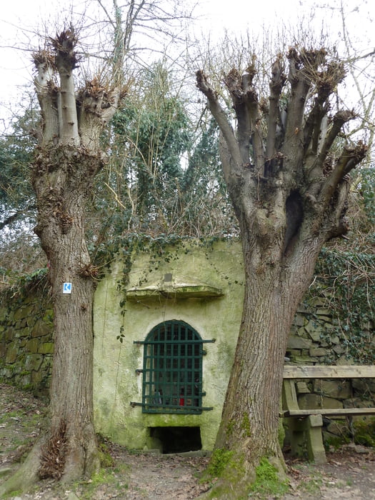
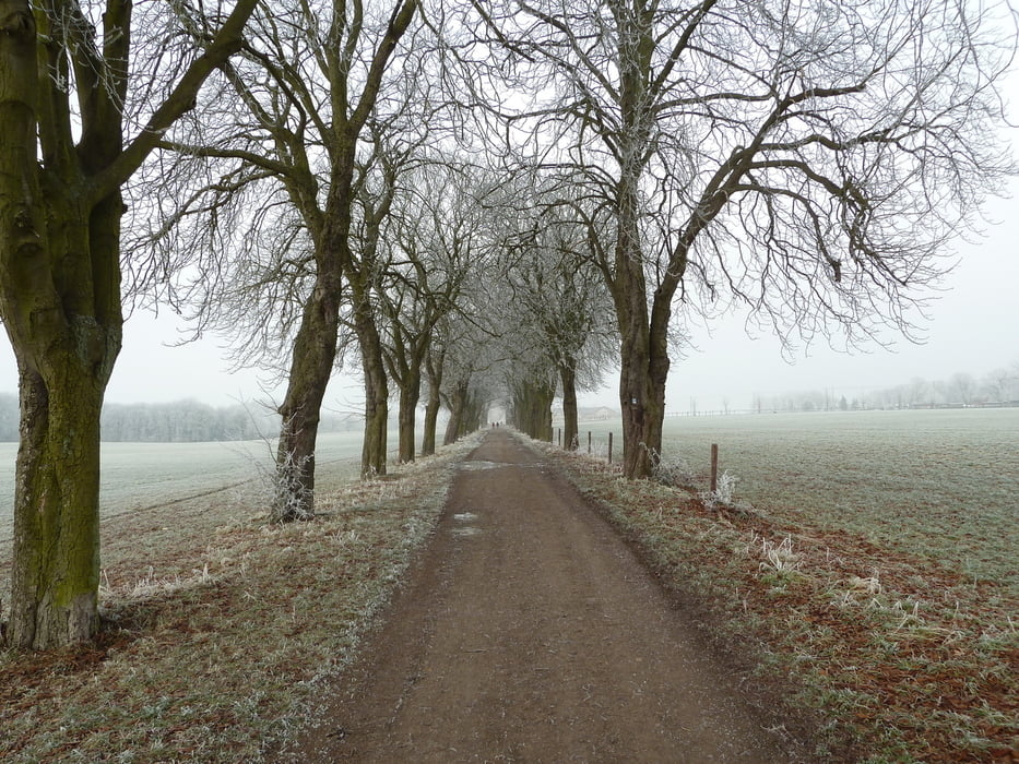
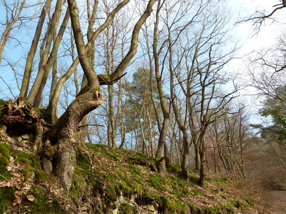
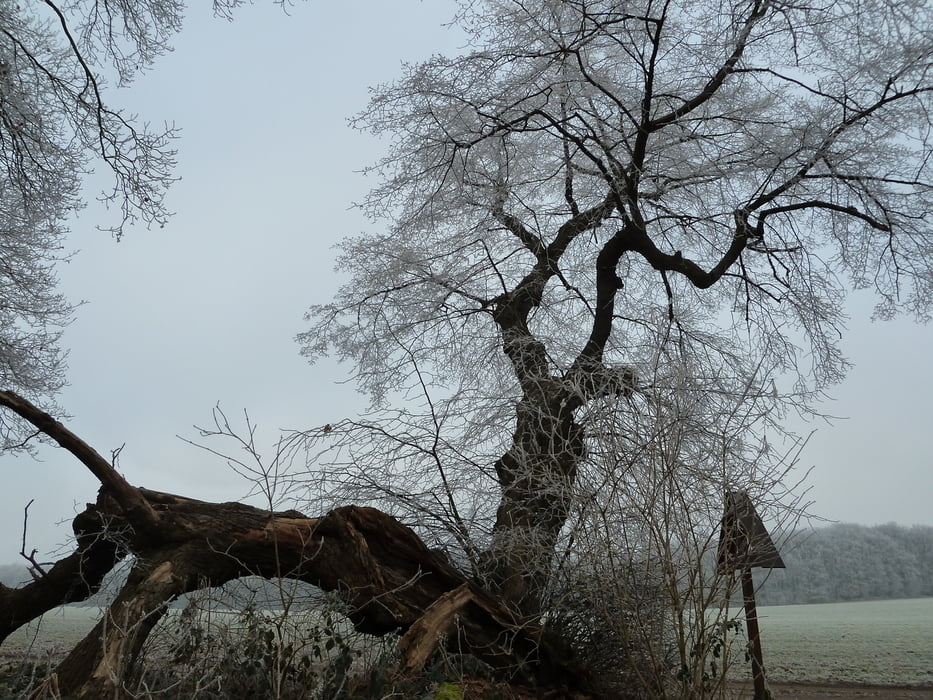
 

Tour gallery

Tour map and elevation profile

  • Open Street Map
  • Google
Minimum height 50 m Maximum height 317 m Detailed view

More about the tour author

koelner1977
Member since 2012

Send private message

Comments

An und Abreise mit Bundesbahn recht bequem (natürlich kann man auch mit der Bahn wieder zurück zum Startpunkt/Auto)


GPS tracks

Trackpoints
  • GPX / Garmin Map Source (gpx) download
  • TCX / Garmin Training Center® (tcx) download
  • CRS / Garmin Training Center® (crs) download
  • Google Earth (kml) download
  • G7ToWin (g7t) download
  • TTQV (trk) download
  • Overlay (ovl) download
  • Fugawi (txt) download
  • Kompass (DAV) Track (tk) download
  • Track data sheet (pdf) download
  • Original file of the author (gpx) download

More about the tour author

koelner1977
Member since 2012

Send private message
Share track
Add to my favorites
Remove from my favorites
Edit tags
My score
Rate
Track: Rheinsteig Unkel-Bad Honnef
Type: Hiking
Distance: 12,5 km
Evaluated on:
Duration:
Day(s)
Hour(s)
Minute(s)
Score: Landscape Fun factor Fitness Technique