
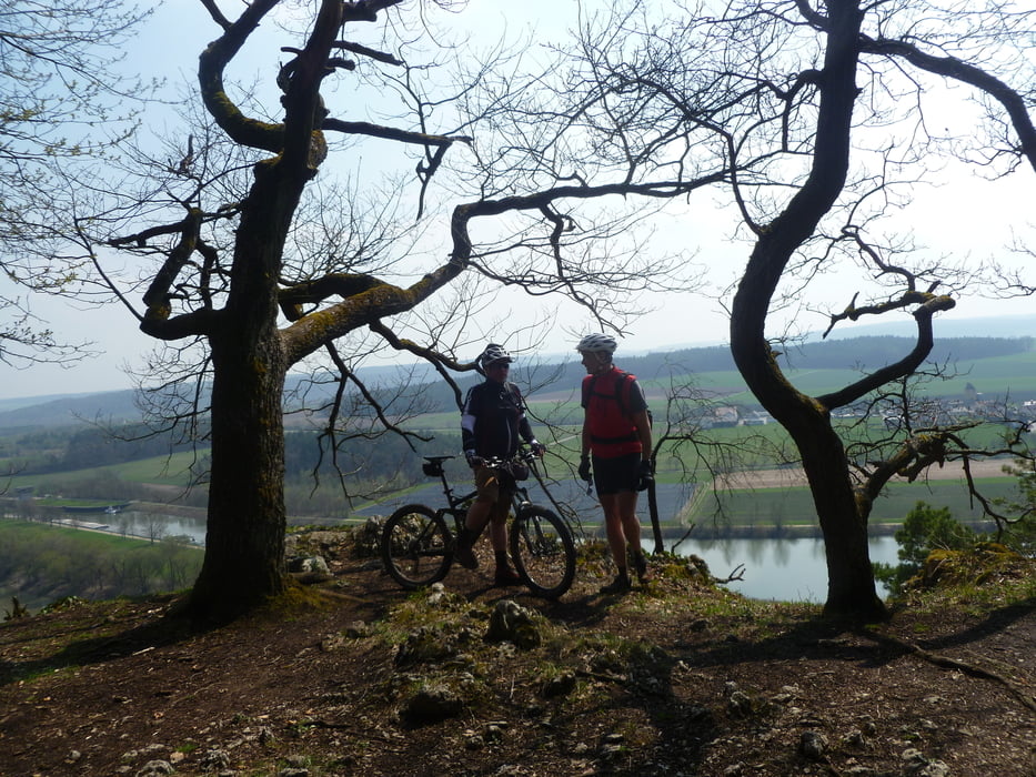

Los geht es am Tennisplatz in Oberisling (Regensburg), und da erst mal den Berg hoch. Auf möglichst viel Naturboden wird eine große Runde um Bad Abbach gefahren. In der ersten Hälfte überwiegen die Wege, in der zweiten kommen dann auch Trails.
Den schönen Streckenabschnitt Unterirading bis Pentling habe ich der Tour Nr.1950 von Christi0012 entlehnt.
Den schönen Streckenabschnitt Unterirading bis Pentling habe ich der Tour Nr.1950 von Christi0012 entlehnt.
Further information at
http://benignus.deTour map and elevation profile
Minimum height 332 m
Maximum height 496 m
More about the tour author
|
|
Nachtfarben |
Comments
Oberisling liegt im äußersten Stadtsüden. Der Tennisplatz ist etwas versteckt kurz nach dem Ortsausgang links, in Fahrtrichtung Leoprechting bzw Graß.
GPS tracks
Trackpoints-
GPX / Garmin Map Source (gpx) download
-
TCX / Garmin Training Center® (tcx) download
-
CRS / Garmin Training Center® (crs) download
-
Google Earth (kml) download
-
G7ToWin (g7t) download
-
TTQV (trk) download
-
Overlay (ovl) download
-
Fugawi (txt) download
-
Kompass (DAV) Track (tk) download
-
Track data sheet (pdf) download
-
Original file of the author (gpx) download
More about the tour author
|
|
Nachtfarben |
Add to my favorites
Remove from my favorites
Edit tags
Open track
My score
Rate
Schöne Trainingsrunde