


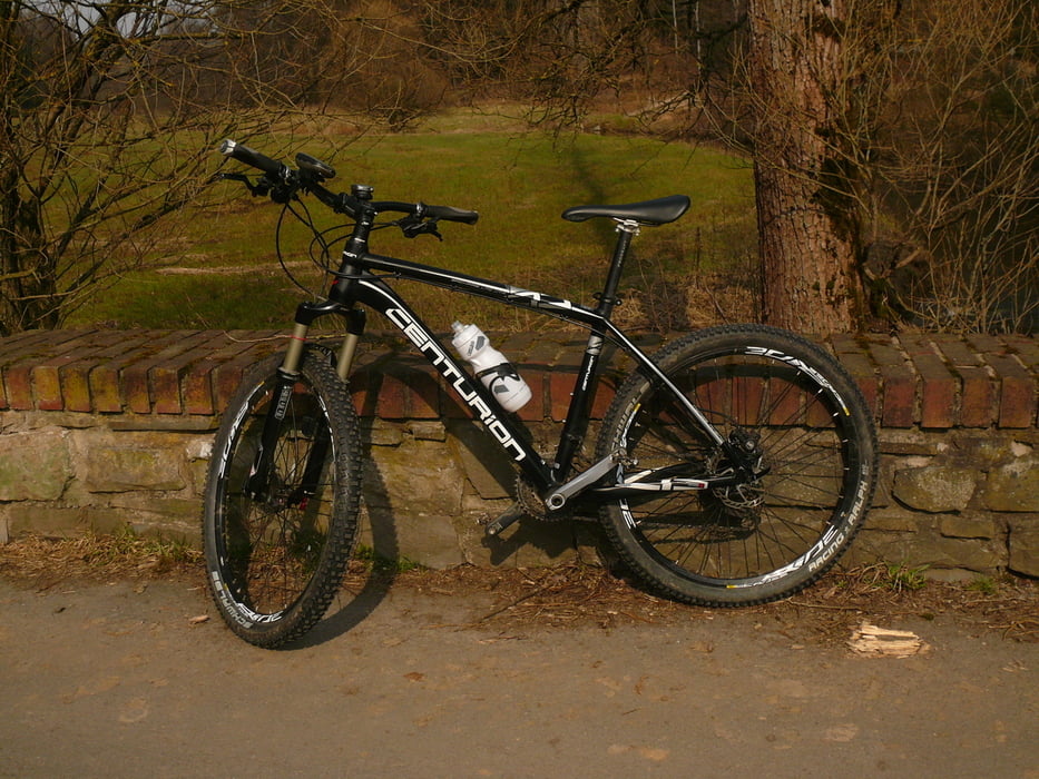
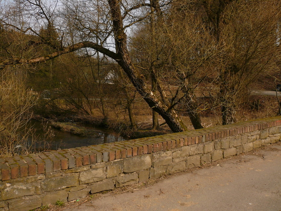
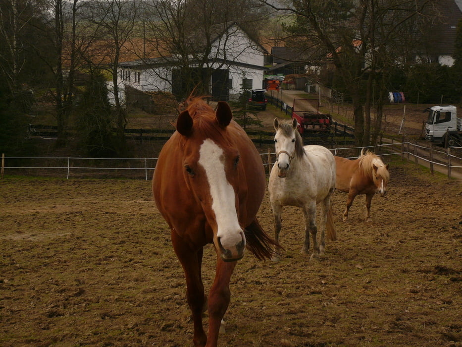
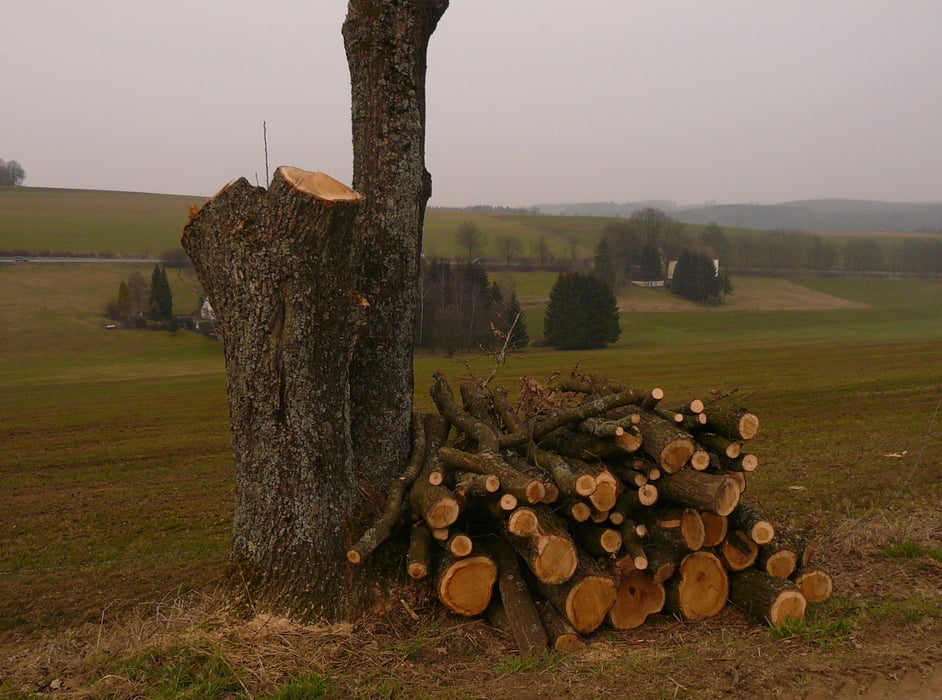
Start in der Falkenstraße (mit GoProHero HD 2 und Brustgurt); nachdem beim Skilaufen Brustgurt ausgiebig gestestet, jetzt mal eine etwas längere Tour, weil inzwischen auch bei uns der Frühling so langsam einzieht. Durch die Stadt und über Löhbach und Brenscheid (sh. YouTube) ins Ennepetal, weiter über Holte hoch Ri. Köttershaus, dann nach li. auf den H-Weg runter zum ehem. Munidepot, hier die Serpentinen ein kleines Stück hoch und wieder nach rechts hinauf auf die Asphaltstraße, hier nach li. Ri. Eich, B 229 überqueren und am Motocross-Parcours (wo ich eigentlich ein wenig filmen wollte, aber die "Stars" plötzlich nicht mehr fuhren) vorbei über Hahnenberg und Modellflugplatz Ri. Hönde und hinunter (sh. YouTube) zur Bever. Weiter nach li. Ri. In der Bever und Schwenke, über Eschen hinunter ins Tal, Ri. Büchermühle, weiter zur Brücke, dann nach re. und wieder li. Ri. Stenkenweg, hinauf nach Anschlag und über den Radweg in die Innenstadt und nach Hause.
Bei frühlingshaften Temperaturen angenehme, leichte Tour, um sich mal wieder an längere Touren zu gewöhnen.
Further information at
http://www.msf-kraewinklerbruecke.de/Tour gallery


Tour map and elevation profile
Minimum height 291 m
Maximum height 422 m
More about the tour author
|
|
neuser |
Comments

von B 229 in die Falkenstraße
GPS tracks
Trackpoints-
GPX / Garmin Map Source (gpx) download
-
TCX / Garmin Training Center® (tcx) download
-
CRS / Garmin Training Center® (crs) download
-
Google Earth (kml) download
-
G7ToWin (g7t) download
-
TTQV (trk) download
-
Overlay (ovl) download
-
Fugawi (txt) download
-
Kompass (DAV) Track (tk) download
-
Track data sheet (pdf) download
-
Original file of the author (gpx) download
More about the tour author
|
|
neuser |
Add to my favorites
Remove from my favorites
Edit tags
Open track
My score
Rate