Login

Forgot your login?

Cookies have to be accepted!
Your browser's cookie functionality is disabled. Please enable this functionality.

Not a member yet?

Register now
Login

Available for registred users only

Log in to use this feature.

Forgot your login?

Cookies have to be accepted!
Your browser's cookie functionality is disabled. Please enable this functionality.

Not a member yet?

Register now
Filter
Categories
Advanced filters
  • Distance (km)
  • Height
Save filters Reset filter

TrackRank

QRCode

Technical data

Distance8,1 km Height178 m Way down177 m Duration02:00 h:m Date18.03.2012
Scores Author Landscape Fun factor Fitness Technique

Statistics

339 Views Scores 14 Downloads Average
Rate
  • Track data sheet
  • Directions
  • Downloads

Zeer mooie en afwisselende wandeling.

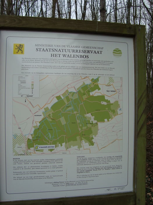
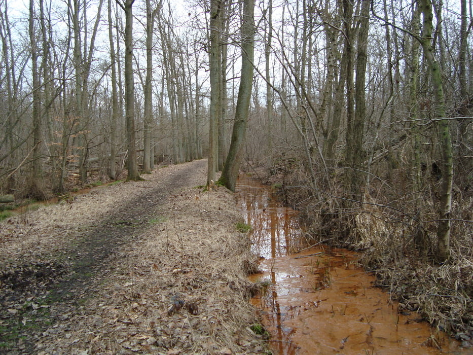
In het natuurreservaat het Walenbos kan het steeds drassig zijn dus zorg voor stevig en waterdicht schoeisel.

Tour gallery

Tour map and elevation profile

  • Open Street Map
  • Google
Minimum height 9 m Maximum height 88 m Detailed view

More about the tour author

ikkel
Member since 2009

Send private message

Comments

Niet geschikt voor kinderwagens en rolstoelen.

GPS tracks

Trackpoints
  • GPX / Garmin Map Source (gpx) download
  • TCX / Garmin Training Center® (tcx) download
  • CRS / Garmin Training Center® (crs) download
  • Google Earth (kml) download
  • G7ToWin (g7t) download
  • TTQV (trk) download
  • Overlay (ovl) download
  • Fugawi (txt) download
  • Kompass (DAV) Track (tk) download
  • Track data sheet (pdf) download
  • Original file of the author (gpx) download

More about the tour author

ikkel
Member since 2009

Send private message
Share track
Add to my favorites
Remove from my favorites
Edit tags
My score
Rate
Track: Roeselberg wandeling
Type: Hiking
Distance: 8,1 km
Evaluated on:
Duration:
Day(s)
Hour(s)
Minute(s)
Score: Landscape Fun factor Fitness Technique