


Die Radtour beginnt in Baiersbronn und geht entlang des Mittelweges bis nach Besenfeld.
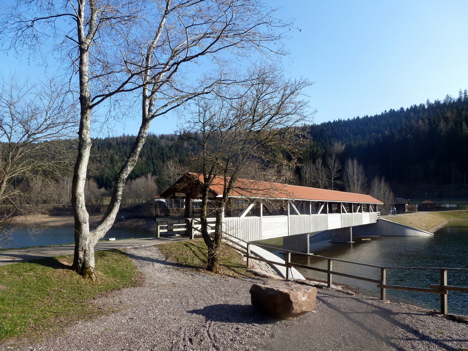
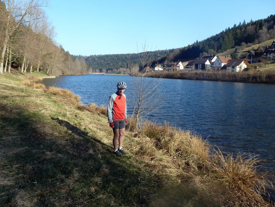
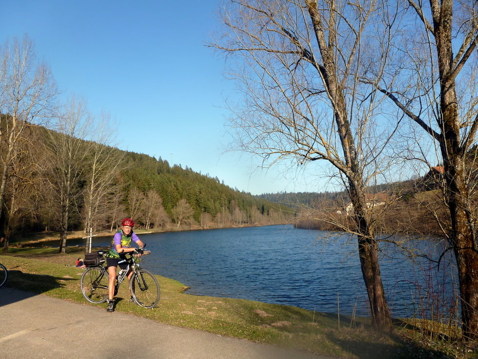
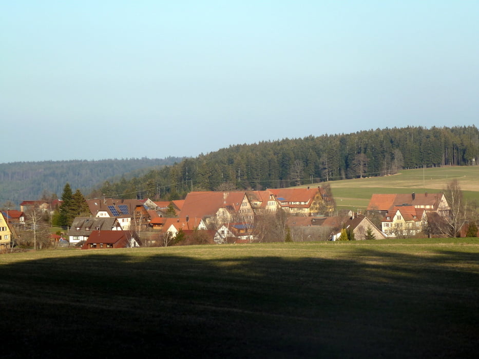
Dort sind wir auf der B 294 bis zur Abzweigung bei Urnagold geradelt. Die weiteren Stationen sind Fünfbronn, Simmersfeld und Ettmannsweiler, die auf kleinen Land- und Kreisstraßen gut zu befahren sind. (K 4333, K 4334 und L 351) Von Ettmannsweiler sind wir dann auf der K 4334 nach Beuren und talabwärts zur L 362 geradelt. Hier geht es dann wieder bergauf bis zum Stausee Erzgrube, den wir auf dem Radweg erreicht haben. Hier kann man in der Abendsonne noch schöne Bilder machen. Vom Stausee geht es weiter steil bergauf auf die Höhen nach Igelsberg. Oben angekommen radelt man kurz durch den Wald weiter auf die B 294 und über Klosterreichenbach wieder zurück nach Baiersbronn.
Dort sind wir auf der B 294 bis zur Abzweigung bei Urnagold geradelt. Die weiteren Stationen sind Fünfbronn, Simmersfeld und Ettmannsweiler, die auf kleinen Land- und Kreisstraßen gut zu befahren sind. (K 4333, K 4334 und L 351) Von Ettmannsweiler sind wir dann auf der K 4334 nach Beuren und talabwärts zur L 362 geradelt. Hier geht es dann wieder bergauf bis zum Stausee Erzgrube, den wir auf dem Radweg erreicht haben. Hier kann man in der Abendsonne noch schöne Bilder machen. Vom Stausee geht es weiter steil bergauf auf die Höhen nach Igelsberg. Oben angekommen radelt man kurz durch den Wald weiter auf die B 294 und über Klosterreichenbach wieder zurück nach Baiersbronn.
Tour gallery
Tour map and elevation profile
Minimum height 496 m
Maximum height 827 m
More about the tour author
|
|
SiegfriedTheurer |
Comments

GPS tracks
Trackpoints-
GPX / Garmin Map Source (gpx) download
-
TCX / Garmin Training Center® (tcx) download
-
CRS / Garmin Training Center® (crs) download
-
Google Earth (kml) download
-
G7ToWin (g7t) download
-
TTQV (trk) download
-
Overlay (ovl) download
-
Fugawi (txt) download
-
Kompass (DAV) Track (tk) download
-
Track data sheet (pdf) download
-
Original file of the author (gpx) download
More about the tour author
|
|
SiegfriedTheurer |
Add to my favorites
Remove from my favorites
Edit tags
Open track
My score
Rate