


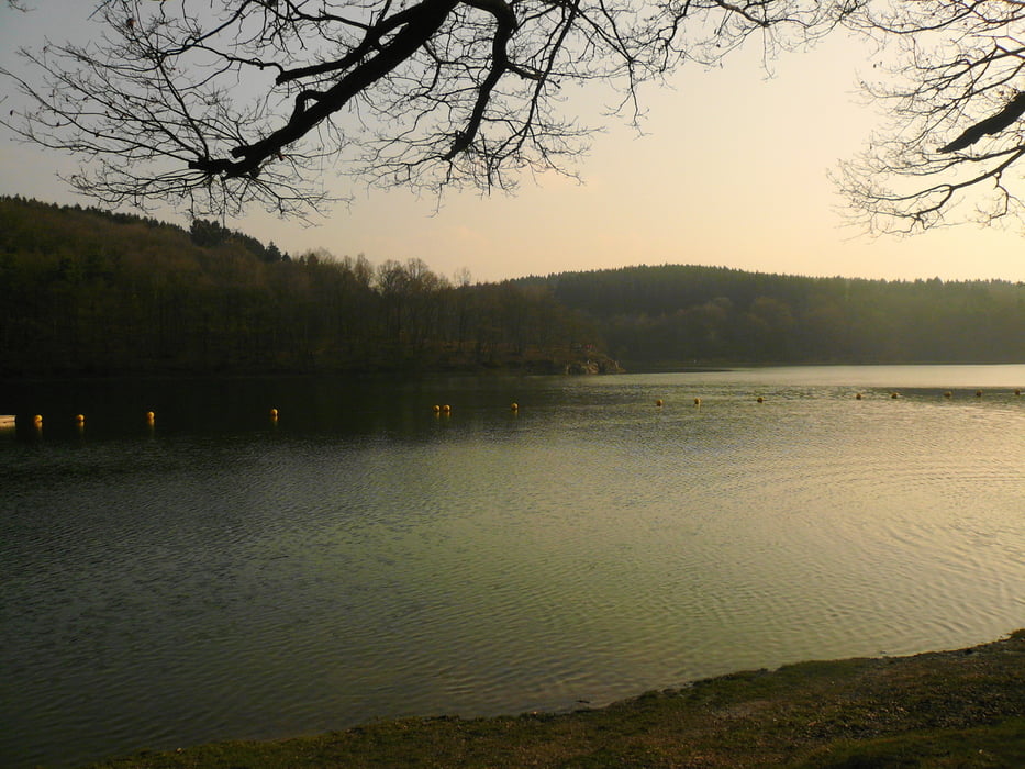
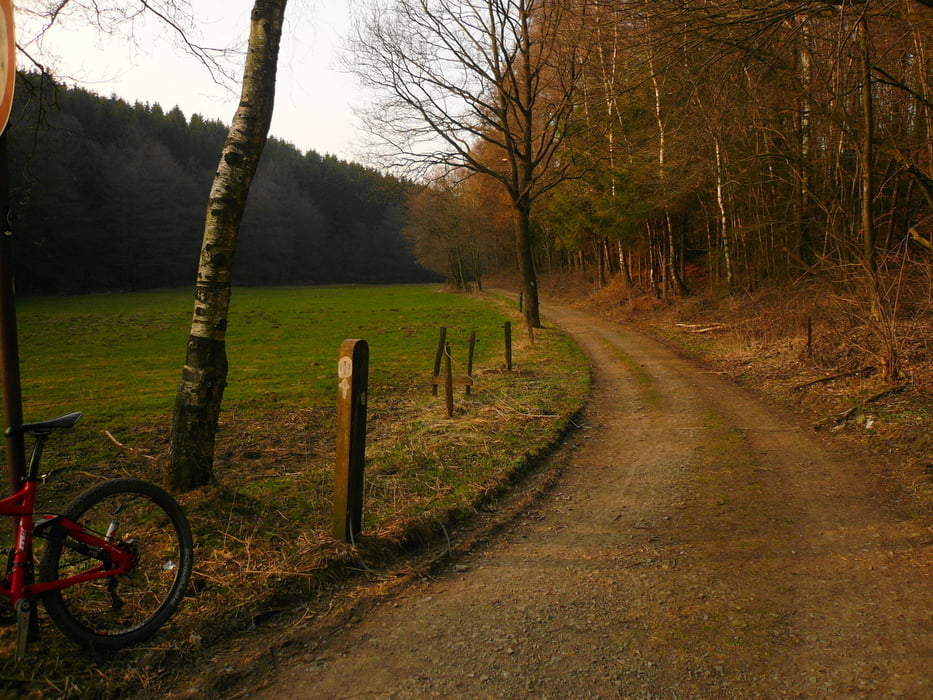
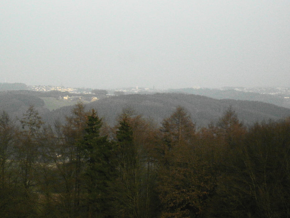
Start in der Falkenstraße, über Schützenstraße und die "Karlshöhe", Südstraße auf Wanderweg (Wurzelstrecke) Ri. Fischteiche bzw. Radweg nach Anschlag (Video auf YouTube), in Höhe Abzweig Segelflugplatz nach re. Ri. Hulvershorn, hinunter nach Neuemühle und weiter bis zur B 229, Löhrmühle und weiter bis zur Ennepesperre, am Vorstaubecken auf den H-Weg, am nächsten Abzweig hoch nach Boßel und weiter zur L 528, hinunter über Loh zur Glör, tlw. umrunden und weiter bis Knochenmühle, nach li. hoch nach Buchholz, nach re. über Schöneberge weiter nach li. ins Waldgebiet bis zur L 528 und über Hagener Straße in die Stadt und auf Umwegen nach Hause.
Schöne Frühjahrstour zum Eingewöhnen bei strahlendem Sonenschein über trockene (fast) Wege. Hat Spaß gemacht, obwohl die Kondition noch zu wünschen übrig läßt.
Further information at
http://www.camforpro.com/shopware.php?gclid=CKHCotqZ1a0CFVBlfAodDHRPlQTour gallery


Tour map and elevation profile
Minimum height 292 m
Maximum height 435 m
More about the tour author
|
|
neuser |
Comments

B 229 - Falkenstraße
GPS tracks
Trackpoints-
GPX / Garmin Map Source (gpx) download
-
TCX / Garmin Training Center® (tcx) download
-
CRS / Garmin Training Center® (crs) download
-
Google Earth (kml) download
-
G7ToWin (g7t) download
-
TTQV (trk) download
-
Overlay (ovl) download
-
Fugawi (txt) download
-
Kompass (DAV) Track (tk) download
-
Track data sheet (pdf) download
-
Original file of the author (gpx) download
More about the tour author
|
|
neuser |
Add to my favorites
Remove from my favorites
Edit tags
Open track
My score
Rate