
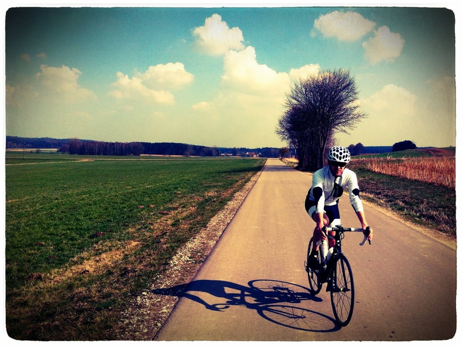

Die Rundroute durchquert die landschaftlich reizvollen Gebiete "Holzwinkel" und "Reischenau" des Naturparks Augsburg (Westliche Wälder). Sehr gut ausgebaute Radwege und verkehrsarme Landstraßen führen durch typisch mittelschwäbische Dörfer. Immer wieder sorgen kurze Anstiege für die richtige Pulsfrequenz.
Augsburg – Neusäß – Aystetten – Adelsried – Welden – Reutern – Eppishofen – Altenmünster – Baiershofen – Rechbergreuthen – Winterbach – Eichenhofen – Hafenhofen – Haldenwang – Röfingen – Roßhaupten – Zusmarshausen – Bieselbach – Rommelsried – Biburg – Vogelsang – Deuringen – Stadtbergen - Augsburg
Further information at
http://koppdaniel.wordpress.com/2012/03/25/rennradtour-durch-den-holzwinkel-naturpark-augsburg-westliche-walder/#more-14196Tour map and elevation profile
Minimum height 435 m
Maximum height 538 m
More about the tour author
|
|
Knieanarchist |
Comments

GPS tracks
Trackpoints-
GPX / Garmin Map Source (gpx) download
-
TCX / Garmin Training Center® (tcx) download
-
CRS / Garmin Training Center® (crs) download
-
Google Earth (kml) download
-
G7ToWin (g7t) download
-
TTQV (trk) download
-
Overlay (ovl) download
-
Fugawi (txt) download
-
Kompass (DAV) Track (tk) download
-
Track data sheet (pdf) download
-
Original file of the author (gpx) download
More about the tour author
|
|
Knieanarchist |
Add to my favorites
Remove from my favorites
Edit tags
Open track
My score
Rate