
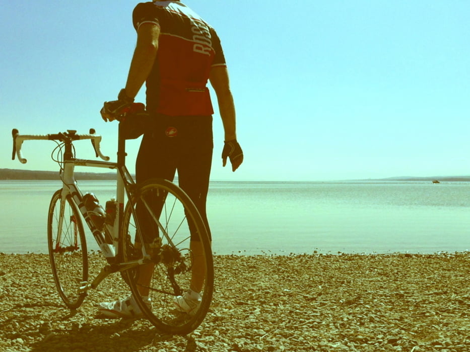

Von Augsburg zum Nordufer des Ammersees und zurück. Die Route verläuft auf Radwegen sowie auf ruhigen (bis sehr ruhigen) Landstrassen und liegt meist auf offener, flacher Flur, was schöne Weitblicke garantiert, aber auch etwas Gegenwind bescheren kann. Am Zielort Eching am Ammersee findet sich ein schönes Badeufer mit grandiosem Blick über den See und auf die Alpen. Als Einkehrmöglichkeit steht ein Kiosk mit Biergarten parat.
Augsburg - Stadtbergen - Leitershofen - Radegundis - Wellenburg - Bergheim - Bobingen - Königsbrunn - Merching - Steindorf - Heinrichshofen - Dünzelbach - Moorenweis - Türkenfeld - Zankenhausen - Eching am Ammersee (und wieder zurück nach Augsburg).
Further information at
http://www.flickr.com/photos/knieanarchist/6872042568/in/photostream/Tour map and elevation profile
Minimum height 479 m
Maximum height 617 m
More about the tour author
|
|
Knieanarchist |
Comments

GPS tracks
Trackpoints-
GPX / Garmin Map Source (gpx) download
-
TCX / Garmin Training Center® (tcx) download
-
CRS / Garmin Training Center® (crs) download
-
Google Earth (kml) download
-
G7ToWin (g7t) download
-
TTQV (trk) download
-
Overlay (ovl) download
-
Fugawi (txt) download
-
Kompass (DAV) Track (tk) download
-
Track data sheet (pdf) download
-
Original file of the author (gpx) download
More about the tour author
|
|
Knieanarchist |
Add to my favorites
Remove from my favorites
Edit tags
Open track
My score
Rate