


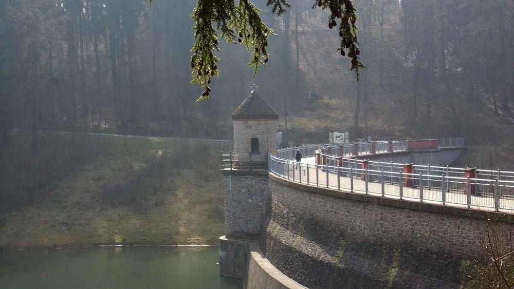
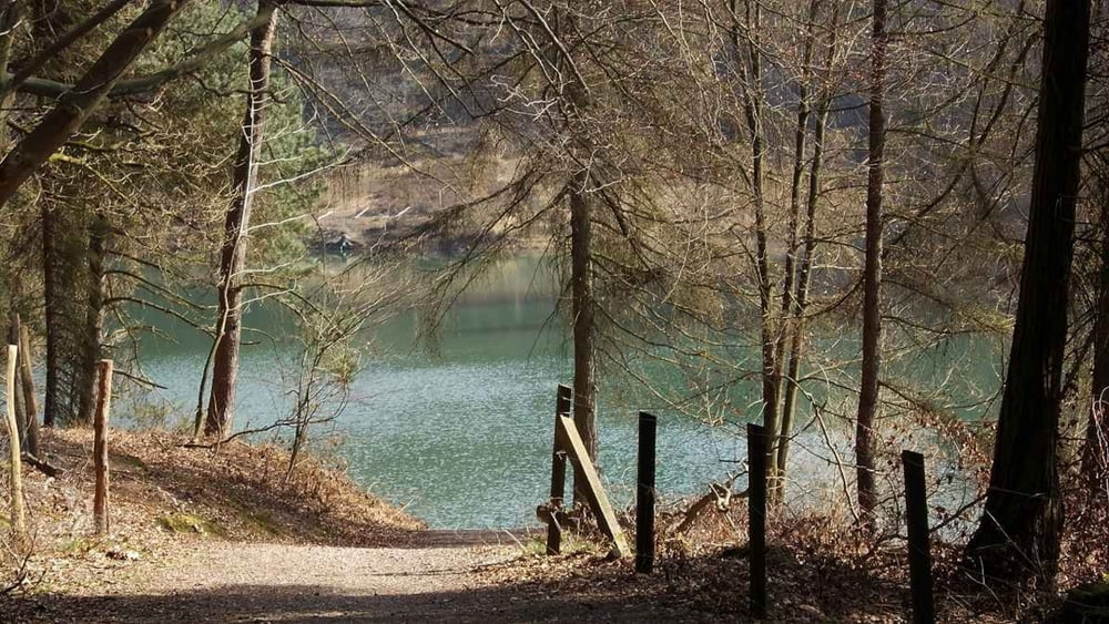
Ausgehend von dem Parkplatz an der Talsperrenstraße in Wuppertal-Ronsdorf, geht es in einem großen Bogen um die Talsperre herum hinunter zur Gelpe.
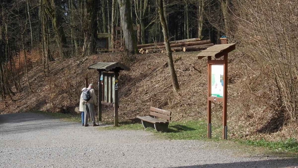
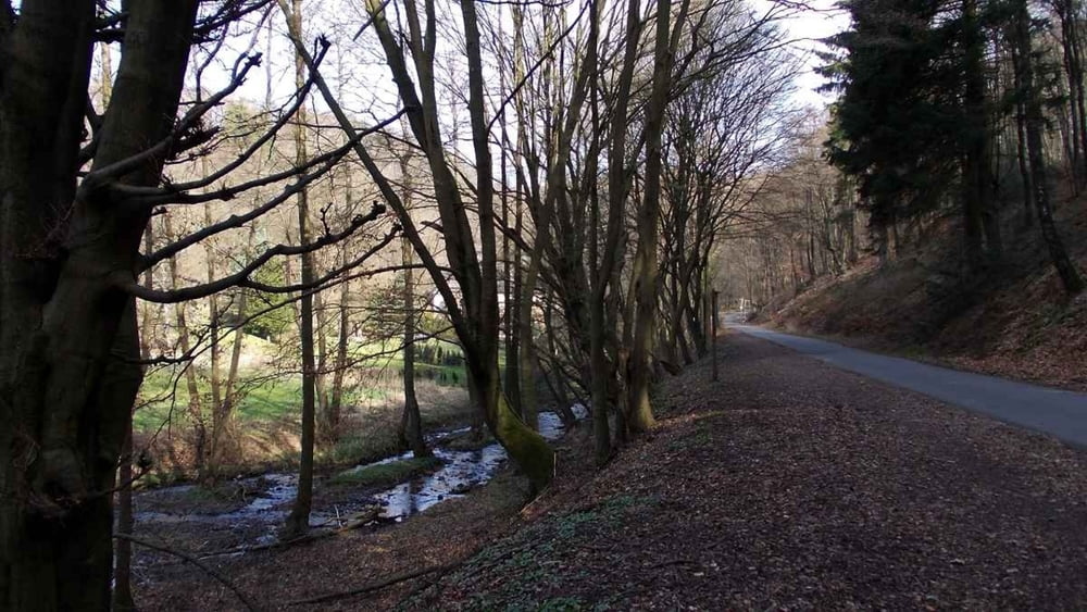
Es geht mehrmals rauf uns runter. Ein gemütlicher Höhenweg-Spaziergang ist es nicht.
Landschaftlich ist die Strecke sehr schön. In dieser Gegend ist es sehr ruhig und man hat sehr viel Natur.
Further information at
http://uerigefan.oyla.deTour gallery
Tour map and elevation profile
Minimum height 205 m
Maximum height 314 m
More about the tour author

|
Uerigefan |
Comments

Wanderparkplatz Wuppertal-Ronsdorf, Talsperrenstraße.
Man findet ausreichend Parkmöglichkeiten.
GPS tracks
Trackpoints-
GPX / Garmin Map Source (gpx) download
-
TCX / Garmin Training Center® (tcx) download
-
CRS / Garmin Training Center® (crs) download
-
Google Earth (kml) download
-
G7ToWin (g7t) download
-
TTQV (trk) download
-
Overlay (ovl) download
-
Fugawi (txt) download
-
Kompass (DAV) Track (tk) download
-
Track data sheet (pdf) download
-
Original file of the author (gpx) download
More about the tour author
|
|
Uerigefan |
Add to my favorites
Remove from my favorites
Edit tags
Open track
My score
Rate