


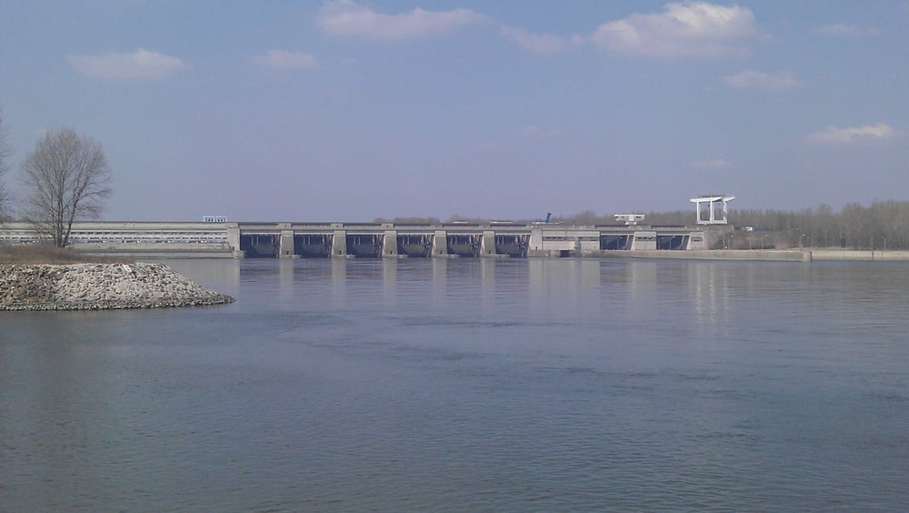
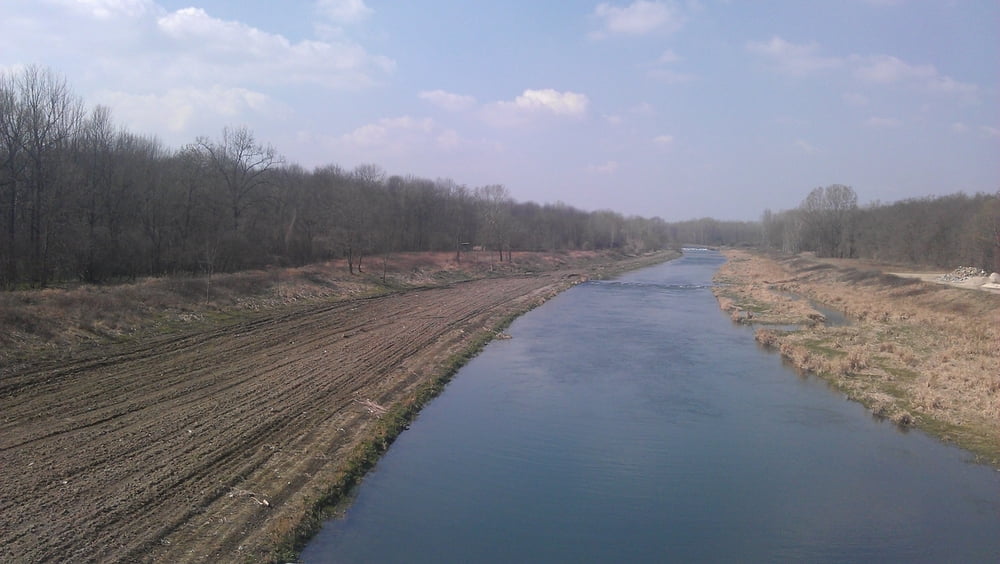
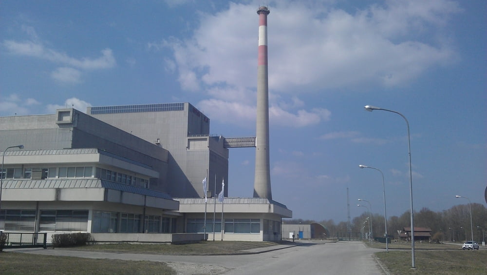
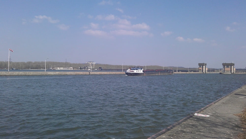
Die Tour beginnt im Waldviertel, nahe Gföhl, führt über Senftenberg und Krems an die Donau. Am linken Donauufer folgen wir dem Radweg Richtung Altenwörth. Dort queren wir die Donau und folgen dann am rechten Ufer dem Radweg Richtung Tulln. Beim "Atomkraftwerk" Zwentendorf vorbei, über Tulln fahren wir zum Kraftwerk Greifenstein. Dort queren wir wieder die Donau und fahren am linken Donauufer nach Wien Donaustadt. Die Strecke ist komplett asphaltiert.
Tour gallery
Tour map and elevation profile
Minimum height 145 m
Maximum height 618 m
More about the tour author

|
pentit |
Comments

GPS tracks
Trackpoints-
GPX / Garmin Map Source (gpx) download
-
TCX / Garmin Training Center® (tcx) download
-
CRS / Garmin Training Center® (crs) download
-
Google Earth (kml) download
-
G7ToWin (g7t) download
-
TTQV (trk) download
-
Overlay (ovl) download
-
Fugawi (txt) download
-
Kompass (DAV) Track (tk) download
-
Track data sheet (pdf) download
-
Original file of the author (gpx) download
More about the tour author
|
|
pentit |
Add to my favorites
Remove from my favorites
Edit tags
Open track
My score
Rate