
")

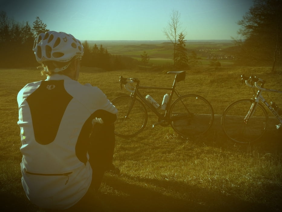
Sportliche Durchquerung des Geoparks Ries, ausgehend vom Bockberg bei Harburg (Schwaben) hinüber auf den aussichtsreichen Gipfel des mittelfränkischen Hesselberges. Dieser lässt sich auf geteertem Wege unproblematisch erklimmen.
Harburg - Großsorheim - Kleinsorheim - Ziswingen - Merzingen - Balgheim - Grosselfingen - Wiesmühle - Hohhof - Deiningen - Klosterzimmern - Dürrenzimmern - Maihingen - Utzwingen - Fremdingen - Schopflohe - Seglohe - Frankenhofen - Insingen - Aufkirchen - Gerolfingen - Hesselberg - und zurück.
Further information at
http://koppdaniel.wordpress.com/2012/04/02/rennradtour-durchs-nordlinger-ries-auf-den-hesselberg-frankische-alb/Tour gallery
Tour map and elevation profile
Minimum height 409 m
Maximum height 678 m
More about the tour author
|
|
Knieanarchist |
Comments

Von Augsburg auf der B2/B25 bis nach Harburg (Schwaben) in 25 Minuten. Großer kostenloser Parkplatz bei der Harburg am Bockberg.
GPS tracks
Trackpoints-
GPX / Garmin Map Source (gpx) download
-
TCX / Garmin Training Center® (tcx) download
-
CRS / Garmin Training Center® (crs) download
-
Google Earth (kml) download
-
G7ToWin (g7t) download
-
TTQV (trk) download
-
Overlay (ovl) download
-
Fugawi (txt) download
-
Kompass (DAV) Track (tk) download
-
Track data sheet (pdf) download
-
Original file of the author (gpx) download
More about the tour author
|
|
Knieanarchist |
Add to my favorites
Remove from my favorites
Edit tags
Open track
My score
Rate