Login

Forgot your login?

Cookies have to be accepted!
Your browser's cookie functionality is disabled. Please enable this functionality.

Not a member yet?

Register now
Login

Available for registred users only

Log in to use this feature.

Forgot your login?

Cookies have to be accepted!
Your browser's cookie functionality is disabled. Please enable this functionality.

Not a member yet?

Register now
Filter
Categories
Advanced filters
  • Distance (km)
  • Height
Save filters Reset filter

TrackRank

QRCode

Technical data

Distance129,0 km Height1463 m Way down1450 m Duration03:00 h:m Date01.04.2012
Scores Author Landscape Fun factor Fitness Technique

Statistics

452 Views Scores 54 Downloads Average
Rate
  • Track data sheet
  • Directions
  • Downloads

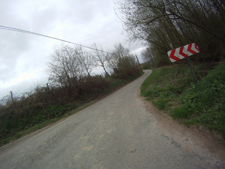
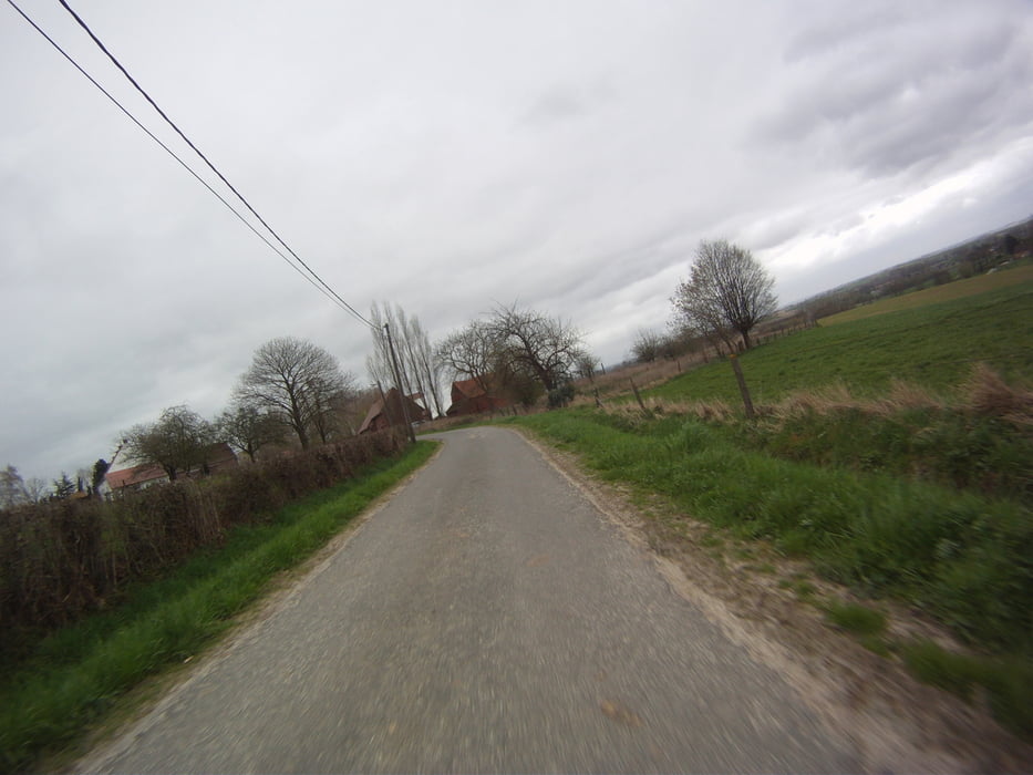
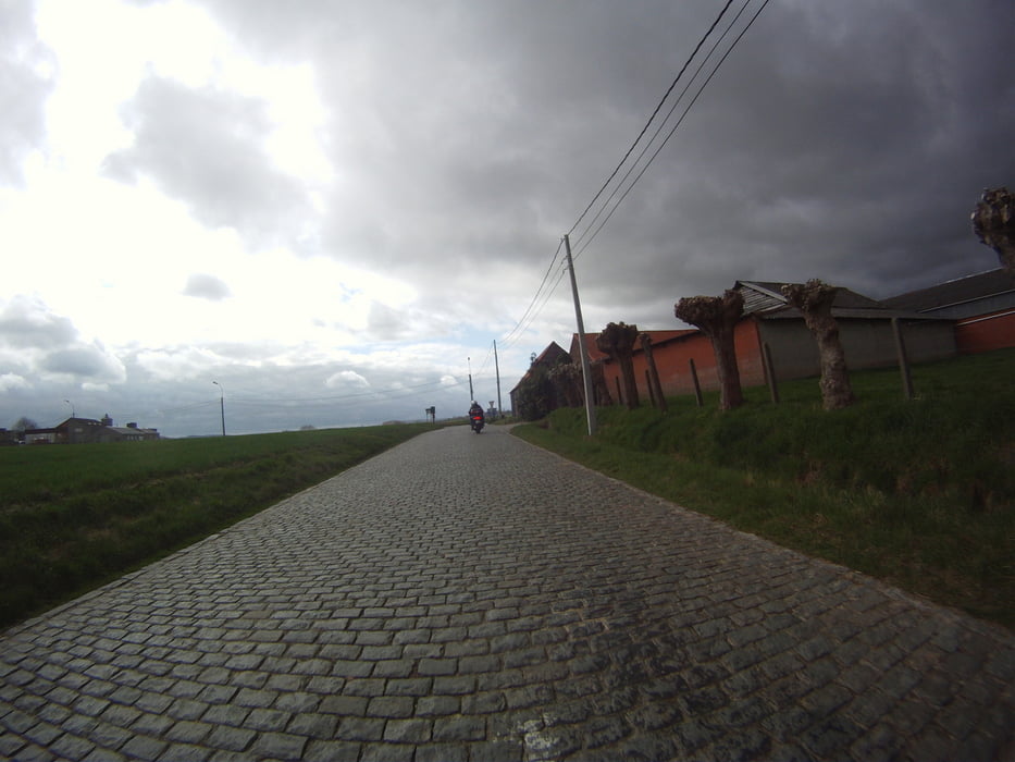
Een mooie mengeling van kleine en grote wegen.

Mooie vergezichten in een echt heuvelland.

Mooi en snel bochtenwerk komt regelmatig opduiken.
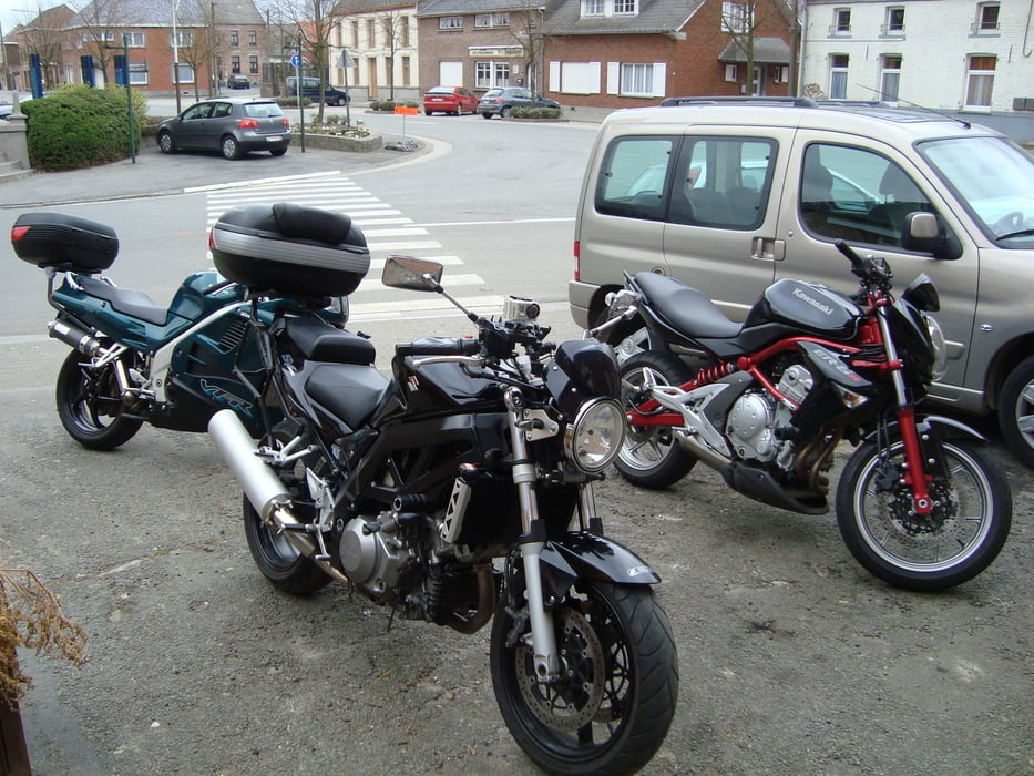


Tour gallery

Tour map and elevation profile

  • Open Street Map
  • Google
Minimum height -4 m Maximum height 137 m Detailed view

More about the tour author

ikkel
Member since 2009

Send private message

Comments

Geen vaste vallende sterren aan waalse kant, aan vlaamse kant zijn er wel op de grote wegen.

GPS tracks

Trackpoints
  • GPX / Garmin Map Source (gpx) download
  • TCX / Garmin Training Center® (tcx) download
  • CRS / Garmin Training Center® (crs) download
  • Google Earth (kml) download
  • G7ToWin (g7t) download
  • TTQV (trk) download
  • Overlay (ovl) download
  • Fugawi (txt) download
  • Kompass (DAV) Track (tk) download
  • Track data sheet (pdf) download
  • Original file of the author (gpx) download

More about the tour author

ikkel
Member since 2009

Send private message
Share track
Add to my favorites
Remove from my favorites
Edit tags
My score
Rate
Track: Touren in het Pays de Colinnes
Type: Motorcycles
Distance: 129,0 km
Evaluated on:
Duration:
Day(s)
Hour(s)
Minute(s)
Score: Landscape Fun factor Fitness Technique