


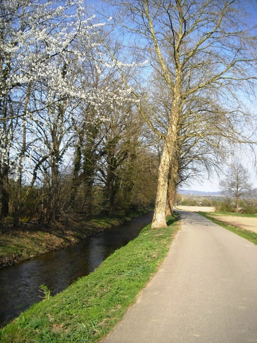
Die Tour startet beim Messegelände Freiburg. Über Landwasser, Lehen, Gottenheim kommen wir nach Ihringen. Diese Etappe ist ohne nennenswerte Steigungen und deshalb ideal zum "Einrollen".
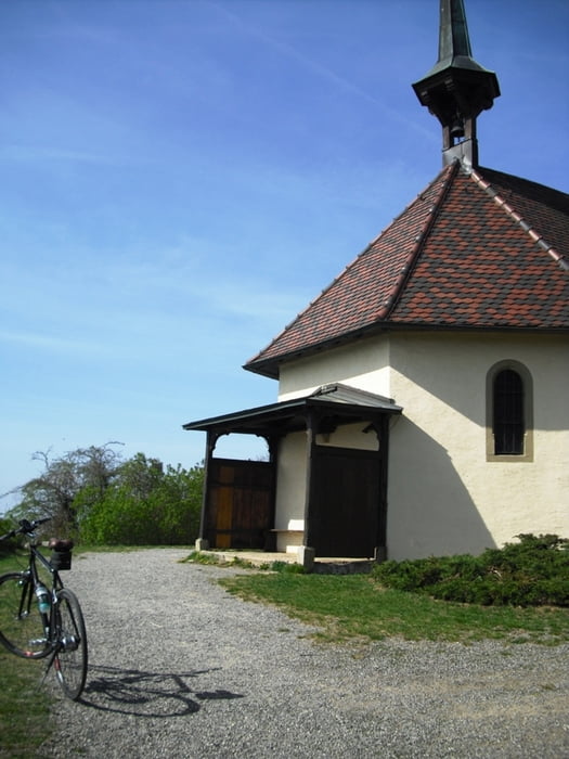
Weiter führt uns der Weg nach Gündlingen und Munzingen zur Ehrentrudis Kapelle. Hier ist ein schöner Aussichtspunkt mit Rundsicht von den Vogesen bis Rheintal und Schauinsland und Schwarzwald.
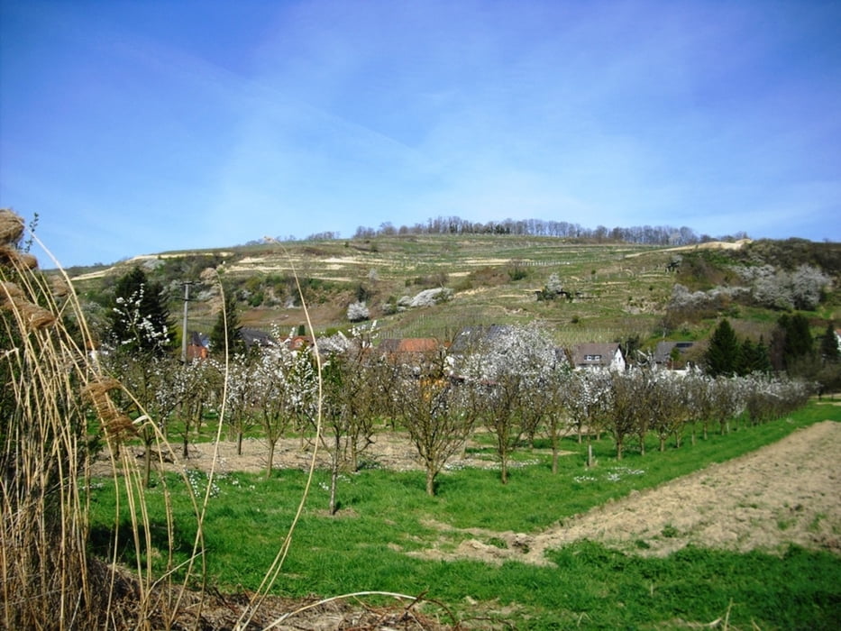
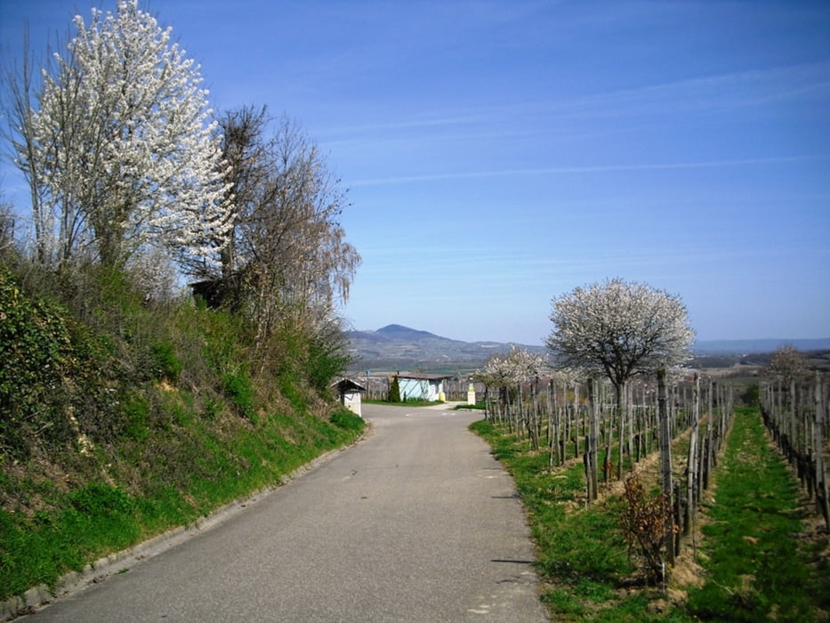
Auf dem Tuniberg Höhenweg gehts nun durch Weinberge und BlicK zum Kaiserstuhl Richtung Merdingen und über Waltershofen zurück nach Umkirch und Freiburg.
Die Tour ist nicht Rennrad geeignet weil teilweise kurze unbefestigte Wege dabei sind.
Further information at
http://www.kaiserstuhl.ccTour gallery
Tour map and elevation profile
Minimum height 184 m
Maximum height 305 m
More about the tour author
|
|
Bockrider |
Comments

Start in Freiburg Neue Messe oder von der A5 nach Umkirch.
GPS tracks
Trackpoints-
GPX / Garmin Map Source (gpx) download
-
TCX / Garmin Training Center® (tcx) download
-
CRS / Garmin Training Center® (crs) download
-
Google Earth (kml) download
-
G7ToWin (g7t) download
-
TTQV (trk) download
-
Overlay (ovl) download
-
Fugawi (txt) download
-
Kompass (DAV) Track (tk) download
-
Track data sheet (pdf) download
-
Original file of the author (gpx) download
More about the tour author
|
|
Bockrider |
Add to my favorites
Remove from my favorites
Edit tags
Open track
My score
Rate