


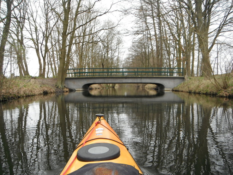
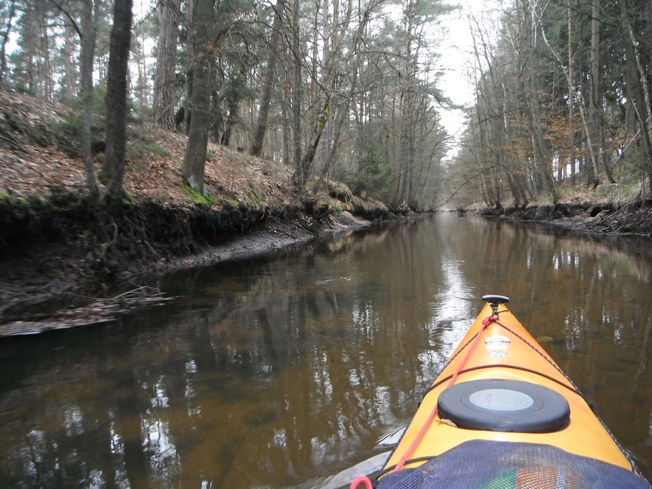
Startpunkt war der Badestrand bei Barum.Es ging die Neetze rauf zum Reihersee und bis zum Elbe-Seiten-Kanal bei Fischhausen.Von dort ca.3km Wanderung mit Bootswagen Richtung Schiffshebewerk Scharnebeck bis zum Einstieg in den Neetzekanal.( Alternativ kann man natürlich auch den Elbe Seiten Kanal befahren anstatt zu laufen.).Den Neetzekanal runtergepaddelt durch schöne Waldige Abschnitte. 1 - 3 Wehre sind zu umtragen,wenn geöffnet sind 2 paddelbar.Wieder kurzes umtragen am Barumer Schöpfwerk und den selbigen Schöpfwerkskanal zurück zum Startpunkt am Barumer See.
Tour gallery
Tour map and elevation profile
Minimum height -68 m
Maximum height 9 m
More about the tour author

|
paddel |
Comments

GPS tracks
Trackpoints-
GPX / Garmin Map Source (gpx) download
-
TCX / Garmin Training Center® (tcx) download
-
CRS / Garmin Training Center® (crs) download
-
Google Earth (kml) download
-
G7ToWin (g7t) download
-
TTQV (trk) download
-
Overlay (ovl) download
-
Fugawi (txt) download
-
Kompass (DAV) Track (tk) download
-
Track data sheet (pdf) download
-
Original file of the author (gpx) download
More about the tour author
|
|
paddel |
Add to my favorites
Remove from my favorites
Edit tags
Open track
My score
Rate