


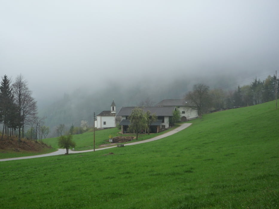
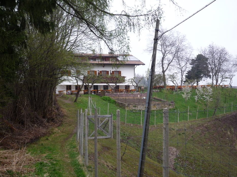
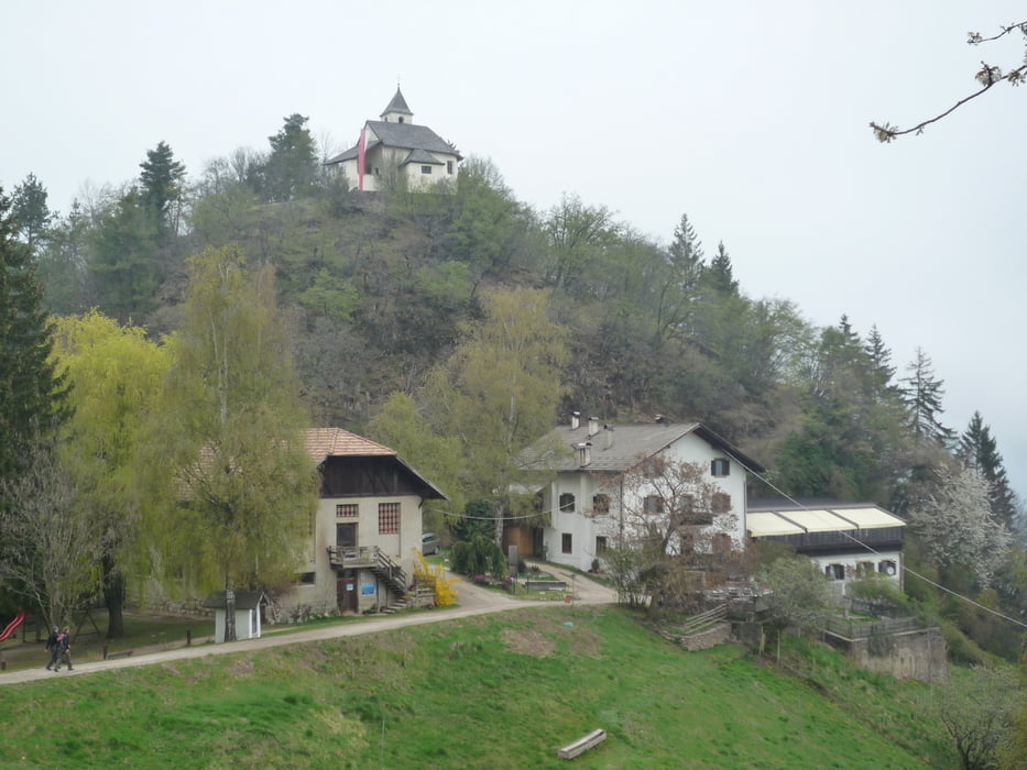
Von der Jausenstation Bittner oberhalb von Nals ausgehend wandert man auf dem Larchsteig (Wanderweg Nr. R) Richtung Gaid. Anschließend folgt man dem Wanderweg Nr. 8 zum Gasthof Jäger in Obersirmian. Von hier läuft man weiter den Wanderweg Nr. 9 in Richtung Untersirmian und gelangt so wieder zurück zum Ausgangspunkt Jausenstation Bittner
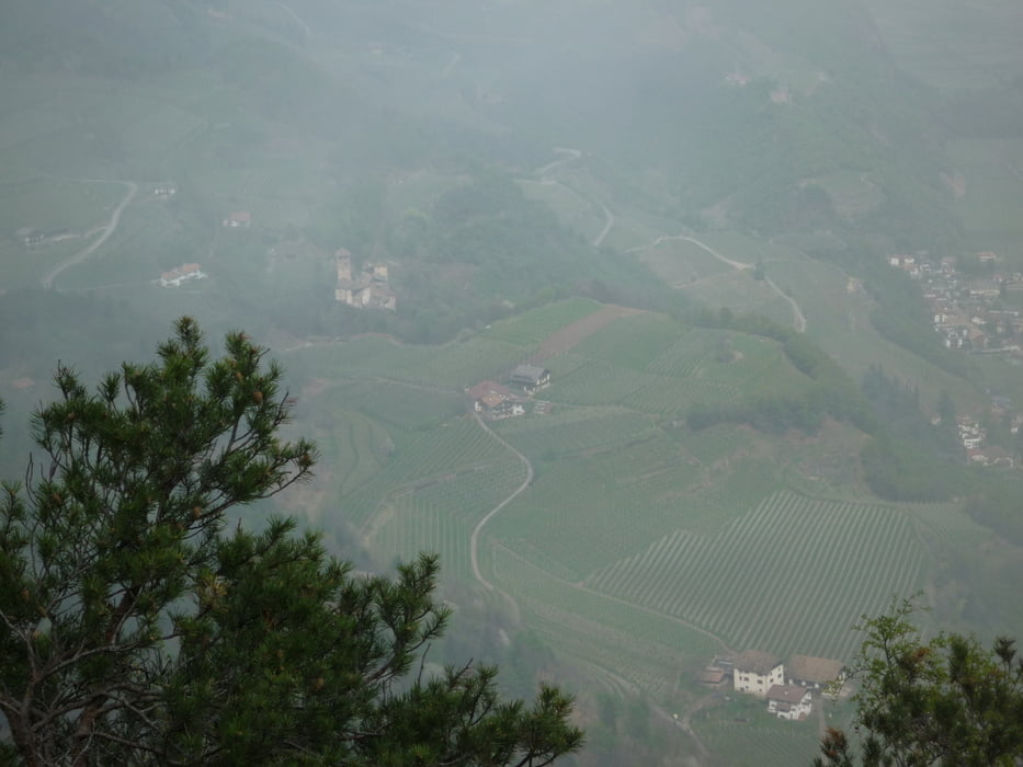
Der Weg ( Nr. 6 ) zum Aussichtspunkt auf dem Il Casterlliere ist absolut empfehlenswert! Der Umweg 500 Meter wird mit einem tollen Ausblick belohnt ( siehe Wegpunkt! ).
Track beeinigt, gelaufen 4/2012!
Further information at
http://www.nals.info/de/nals_suedtirol.phpTour gallery
Tour map and elevation profile
Minimum height 588 m
Maximum height 1008 m
More about the tour author
|
|
FLU |
Comments

GPS tracks
Trackpoints-
GPX / Garmin Map Source (gpx) download
-
TCX / Garmin Training Center® (tcx) download
-
CRS / Garmin Training Center® (crs) download
-
Google Earth (kml) download
-
G7ToWin (g7t) download
-
TTQV (trk) download
-
Overlay (ovl) download
-
Fugawi (txt) download
-
Kompass (DAV) Track (tk) download
-
Track data sheet (pdf) download
-
Original file of the author (gpx) download
More about the tour author
|
|
FLU |
Add to my favorites
Remove from my favorites
Edit tags
Open track
My score
Rate