Login

Forgot your login?

Cookies have to be accepted!
Your browser's cookie functionality is disabled. Please enable this functionality.

Not a member yet?

Register now
Login

Available for registred users only

Log in to use this feature.

Forgot your login?

Cookies have to be accepted!
Your browser's cookie functionality is disabled. Please enable this functionality.

Not a member yet?

Register now
Filter
Categories
Advanced filters
  • Distance (km)
  • Height
Save filters Reset filter

TrackRank

QRCode

Technical data

Distance13,7 km Height174 m Way down184 m Duration00:00 h:m Date12.04.2012
Scores Author Landscape Fun factor Fitness Technique

Statistics

291 Views Scores 27 Downloads Average
Rate
  • Track data sheet
  • Directions
  • Downloads

Rolstoelen en kinderwagens zijn geen probleem op de route.

De overzetboot werkt in de week van 7u tot 18u en in het weekend en op feestdagen van 9u tot 18u. Prijs 50cent p/p
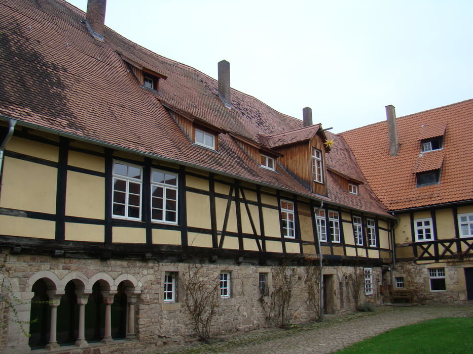
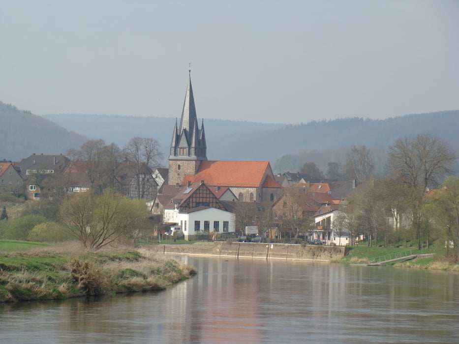
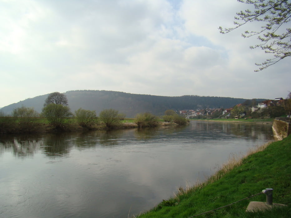
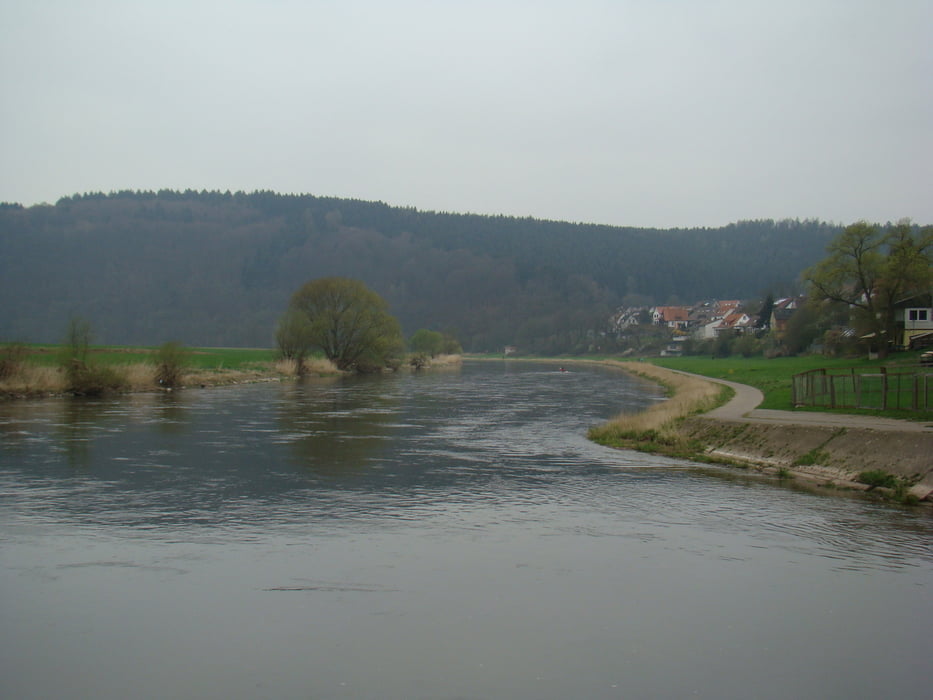
Tour gallery

Tour map and elevation profile

  • Open Street Map
  • Google
Minimum height 75 m Maximum height 127 m Detailed view

More about the tour author

ikkel
Member since 2009

Send private message

Comments

GPS tracks

Trackpoints
  • GPX / Garmin Map Source (gpx) download
  • TCX / Garmin Training Center® (tcx) download
  • CRS / Garmin Training Center® (crs) download
  • Google Earth (kml) download
  • G7ToWin (g7t) download
  • TTQV (trk) download
  • Overlay (ovl) download
  • Fugawi (txt) download
  • Kompass (DAV) Track (tk) download
  • Track data sheet (pdf) download
  • Original file of the author (gpx) download

More about the tour author

ikkel
Member since 2009

Send private message
Share track
Add to my favorites
Remove from my favorites
Edit tags
My score
Rate
Track: Van Wahlsburg naar Wahmbeck
Type: Hiking
Distance: 13,7 km
Evaluated on:
Duration:
Day(s)
Hour(s)
Minute(s)
Score: Landscape Fun factor Fitness Technique