Login

Forgot your login?

Cookies have to be accepted!
Your browser's cookie functionality is disabled. Please enable this functionality.

Not a member yet?

Register now
Login

Available for registred users only

Log in to use this feature.

Forgot your login?

Cookies have to be accepted!
Your browser's cookie functionality is disabled. Please enable this functionality.

Not a member yet?

Register now
Filter
Categories
Advanced filters
  • Distance (km)
  • Height
Save filters Reset filter

TrackRank

QRCode

Technical data

Distance53,5 km Height1276 m Way down1280 m Duration05:00 h:m Date14.10.2002
Scores Author Landscape Fun factor Fitness Technique

Statistics

10049 Views Scores 1179 Downloads Average
Rate
  • Track data sheet
  • Directions
  • Downloads
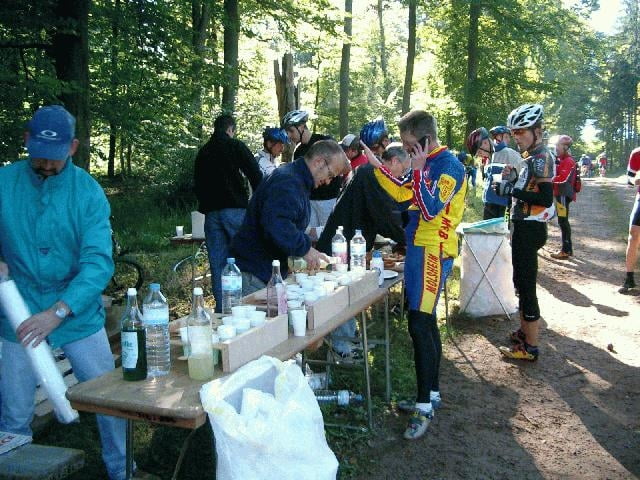
der diesjährige Weissemburg Marathon sehr schöne trials und tolle Forstwege optimal für Herbst und Frühjahr da nicht ganz so hoch und trotzdem Höhenmeter ohne Ende und hinterher einen feinen Flammkuchen was will man mehr

Tour gallery

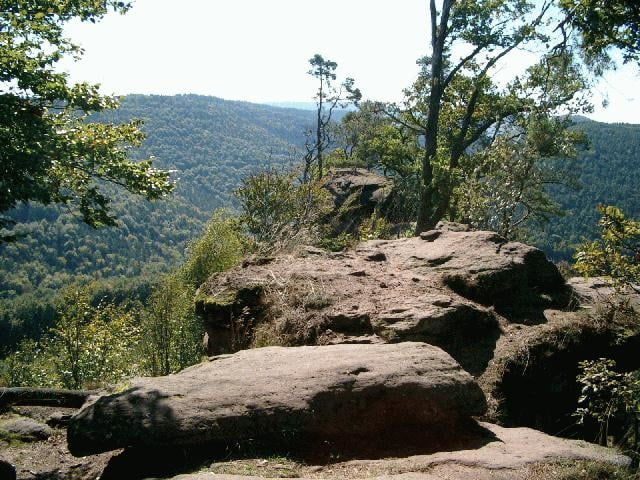
Tour map and elevation profile

  • Open Street Map
  • Google
Minimum height 209 m Maximum height 495 m Detailed view

More about the tour author

thomas

Comments

A65 Abfahrt Kandel Süd Richtung Strassburg bir Lauterbourg dann Richtung Wissembourg dann Richtung Lembach

GPS tracks

Trackpoints
  • GPX / Garmin Map Source (gpx) download
  • TCX / Garmin Training Center® (tcx) download
  • CRS / Garmin Training Center® (crs) download
  • Google Earth (kml) download
  • G7ToWin (g7t) download
  • TTQV (trk) download
  • Overlay (ovl) download
  • Fugawi (txt) download
  • Kompass (DAV) Track (tk) download
  • Track data sheet (pdf) download

More about the tour author

thomas

Share track
Add to my favorites
Remove from my favorites
Edit tags
My score
Rate
Track: Weissenburg ( Elsass )
Type: Mountain bike
Distance: 53,5 km
Evaluated on:
Duration:
Day(s)
Hour(s)
Minute(s)
Score: Landscape Fun factor Fitness Technique