


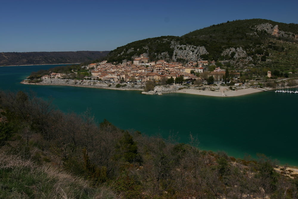
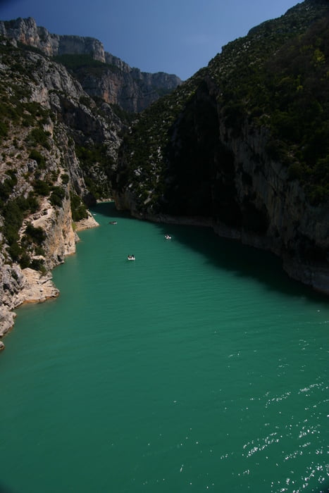
Start und Ziel am Dorfbrunnen in Moissac Bellevue. Geniale Runde um den Stausee mit wunderschönen Ausblicken. Nach dem Start in Moissac ein wenig auf und ab durch alte Eichenwälder nach Baudinard und abwärts rollen zum großen Staussee, der auf dieser Tour fast immer in Sichtweite ist. Es geht die ganze Tour auf und ab, über Hochebenen mit schier endlosen Lavendelfeldern und abwechslungreichen Berg- und Seepanoramen. Ich hatte bei dieser Tour bis Moustier Ste. Marie (übrigens ein lohnenswerter Abstecher .. wirklich ein wunderschönes Dorf!) einen ganz fiesen Gegenwind .. vielleicht beim Start auf die Windrichtung achten .. auf dem Nachhauseweg wäre das je nach Trainingszustand fatal ;-)
Tour gallery
Tour map and elevation profile
Minimum height 488 m
Maximum height 786 m
More about the tour author
|
|
powerhuehnle |
Comments

GPS tracks
Trackpoints-
GPX / Garmin Map Source (gpx) download
-
TCX / Garmin Training Center® (tcx) download
-
CRS / Garmin Training Center® (crs) download
-
Google Earth (kml) download
-
G7ToWin (g7t) download
-
TTQV (trk) download
-
Overlay (ovl) download
-
Fugawi (txt) download
-
Kompass (DAV) Track (tk) download
-
Track data sheet (pdf) download
-
Original file of the author (gpx) download
More about the tour author
|
|
powerhuehnle |
Add to my favorites
Remove from my favorites
Edit tags
Open track
My score
Rate