


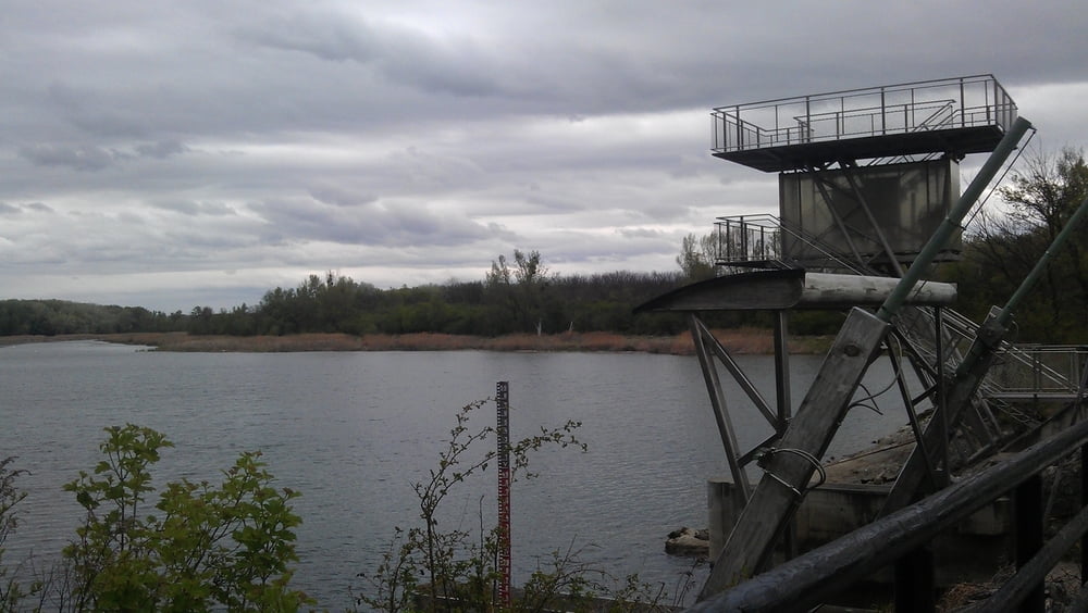
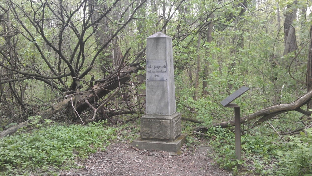
Ausgehend von Breitenlee führt die Tour über Aspern zur Donauinsel. Dem Donauradweg Richtung Hainburg folgend bis nach Schönau. In Schönau gibt es eine nette Rastmöglichkeit. Von dort geht es durch die Donauau Richtung Groß Enzersdorf. Dort fahren wir entlang dem Franzosensteig nach Aspern retour. Am Franzosensteig muss man einige Male absteigen und das Rad über Bäume tragen. Am Franzosensteig kamen die Franzosen 1809 über die Donau. Von Aspern geht es wieder über Feldwege retour nach Breitenlee. Durch die Au führen keine asphaltierten Wege.
Tour gallery

Tour map and elevation profile
Minimum height 140 m
Maximum height 168 m
More about the tour author

|
pentit |
Comments

GPS tracks
Trackpoints-
GPX / Garmin Map Source (gpx) download
-
TCX / Garmin Training Center® (tcx) download
-
CRS / Garmin Training Center® (crs) download
-
Google Earth (kml) download
-
G7ToWin (g7t) download
-
TTQV (trk) download
-
Overlay (ovl) download
-
Fugawi (txt) download
-
Kompass (DAV) Track (tk) download
-
Track data sheet (pdf) download
-
Original file of the author (gpx) download
More about the tour author
|
|
pentit |
Add to my favorites
Remove from my favorites
Edit tags
Open track
My score
Rate