


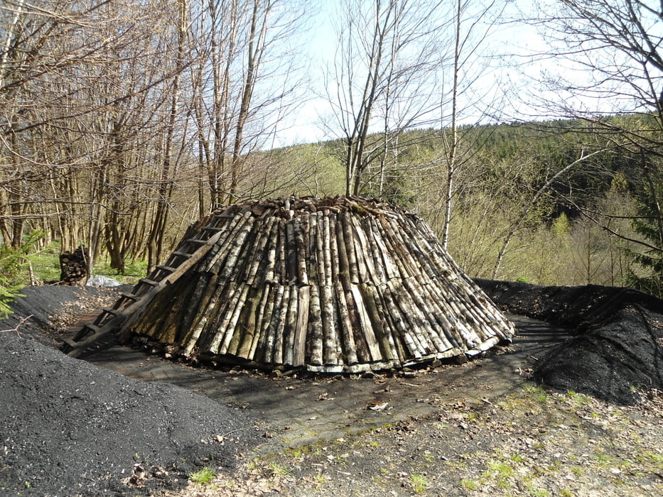
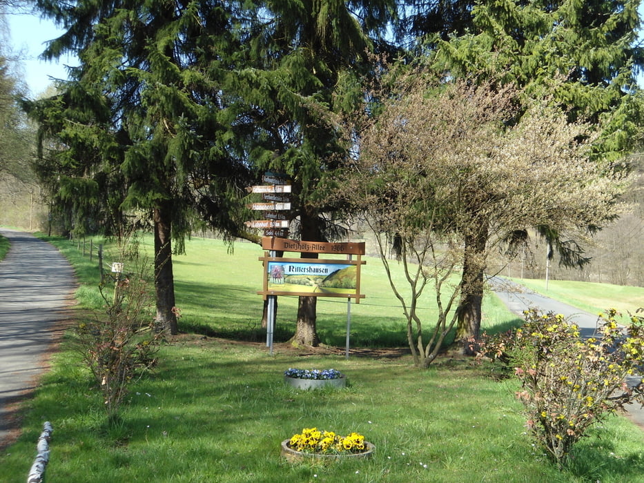
Von Gernsdorf Richtung Friedhof und dann vor dem Modellflugplatz rechts in den Wald. Den Höhenweg bis zur Gernsbacher Höhe.Dann weiter zur Dillquelle und zum "Offdiller Bahnhof". Hier sind wir schon in Hessen. Wir fahren durch den Wald und an einigen Fischweihern vorbei richtung Rittershausen. Wenn man Glück hat ist auf dem Weg auch ein Kohlenmeiler zu sehen. Wir fahren an einem kleinen Bach entlang bergauf am Rande des Ortes wieder in den Wald. Auf dem Briefträgerweg geht es bis zu dem sehr kleinen Ort Sohl. Von dort aus auf den Jagdberg ( 678m) und Berg ab am Rothaarsteigweg wieder Richtung Siegerland.
Tour gallery
Tour map and elevation profile
Minimum height 378 m
Maximum height 678 m
More about the tour author

|
kurzudo |
Comments

GPS tracks
Trackpoints-
GPX / Garmin Map Source (gpx) download
-
TCX / Garmin Training Center® (tcx) download
-
CRS / Garmin Training Center® (crs) download
-
Google Earth (kml) download
-
G7ToWin (g7t) download
-
TTQV (trk) download
-
Overlay (ovl) download
-
Fugawi (txt) download
-
Kompass (DAV) Track (tk) download
-
Track data sheet (pdf) download
-
Original file of the author (gpx) download
More about the tour author
|
|
kurzudo |
Add to my favorites
Remove from my favorites
Edit tags
Open track
My score
Rate