


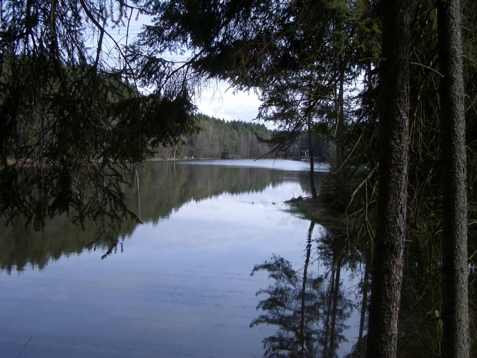
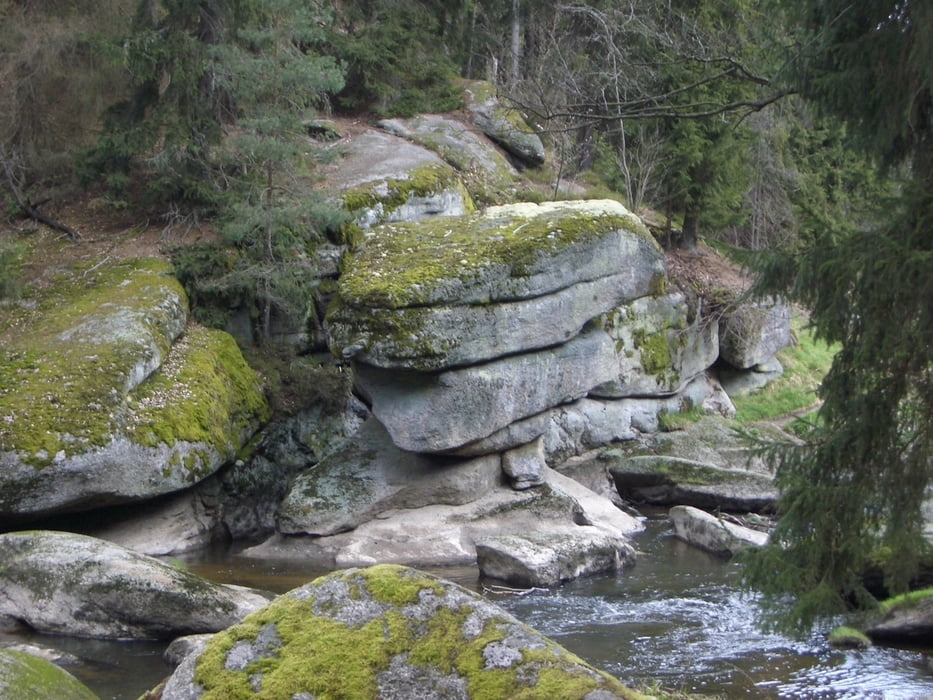
Sehr schöne Wanderung durch das wildromantische Waldnaabtal zwischen Windischeschenbach und Falkenberg. Die erste hälfte führt über den Eichelgarten und Klingenhöhe am Klingenweiher und Mühlnicklweiher vorbei. Dann gehts hinein ins Waldnaabtal, zur Einkehrmöglichkeit in der Blockhütte mit Biergarten. Zurück flussabwärts vorbei an Schwarzenschwal, Altneuhaus, Tischstein und Gletschermühle bis zum Frombach. Hier verlassen wir das Tal um zum Ausgangspunkt zurück zu kehren. Zu 100% auf festen Sandwegen somit bei jeder Witterung zu begehen.
Tour gallery


Tour map and elevation profile
Minimum height 444 m
Maximum height 527 m
More about the tour author

|
vollgashias |
Comments

Von der A93 richtung Tirschenreuth nach ca. 300m links abbiegen und gleich rechts halten. Sandweg bis zum Parkplatz folgen.
GPS tracks
Trackpoints-
GPX / Garmin Map Source (gpx) download
-
TCX / Garmin Training Center® (tcx) download
-
CRS / Garmin Training Center® (crs) download
-
Google Earth (kml) download
-
G7ToWin (g7t) download
-
TTQV (trk) download
-
Overlay (ovl) download
-
Fugawi (txt) download
-
Kompass (DAV) Track (tk) download
-
Track data sheet (pdf) download
-
Original file of the author (gpx) download
More about the tour author
|
|
vollgashias |
Add to my favorites
Remove from my favorites
Edit tags
Open track
My score
Rate