


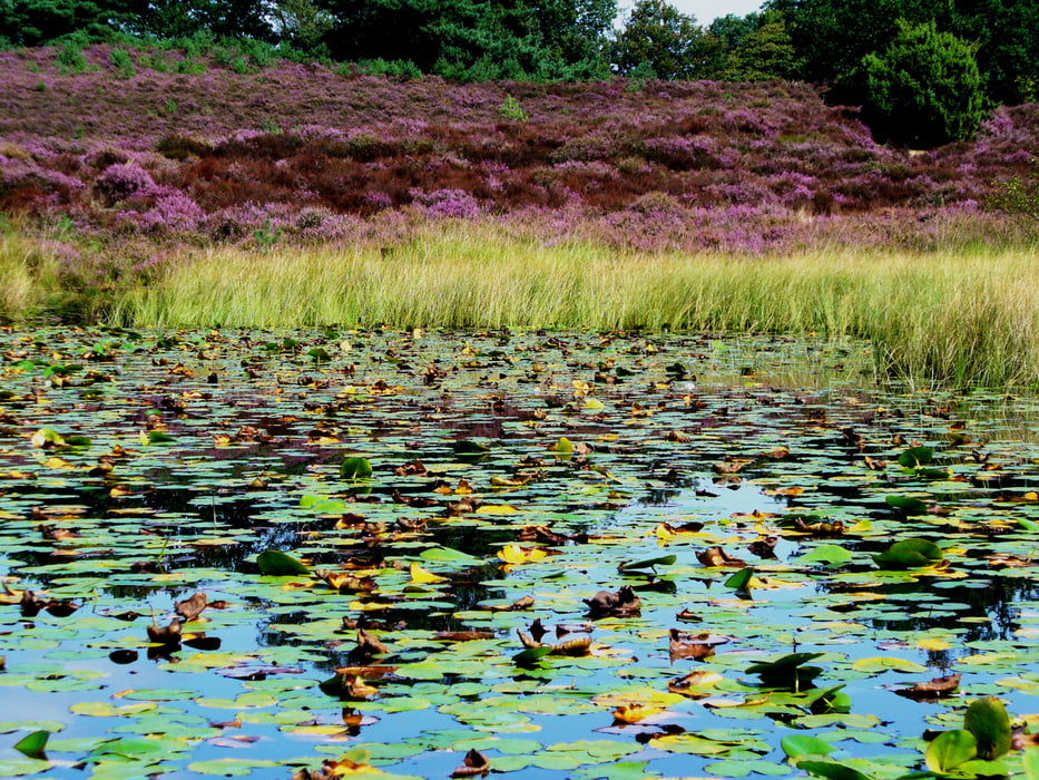
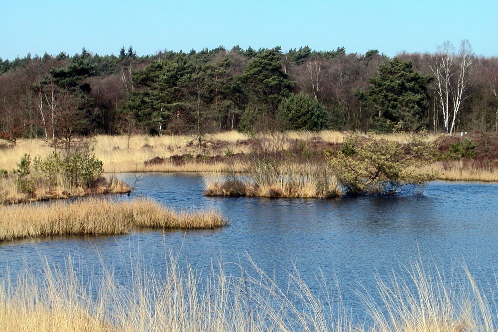
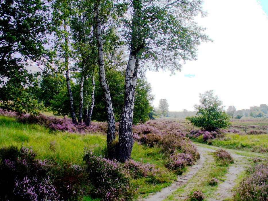
Die Tour führt von der Deutsch-Niederländischen Grenze vor Roermond in und durch den Meinweg. Man kommt durch Wald- und Heidelandschaft und ist zu jeder Jahreszeit zu empfehlen. Es gibt auf der Strecke keine Einkehrmöglichkeit.
Je nachdem wie herum man die Tour geht, sind die ersten oder letzten 1,5 km asphaltiert, sodass Asphaltpads für die Stöcke nicht falsch wären.
Tour gallery
Tour map and elevation profile
Minimum height 28 m
Maximum height 92 m
More about the tour author
|
|
hadihe |
Comments

A 52 Richtung Roermond - 1.Ausfahrt nach der Grenze, als wollte man zur Esso-Tankstelle - an Tankstelle und Hotel (Fletcher) vorbei - kurz dahinter rechts ab auf asphaltierter Straße, die zum Lüsenkamp führt - nach etwa 100 m ist zur Linken ein kleiner Wanderparkplatz
GPS tracks
Trackpoints-
GPX / Garmin Map Source (gpx) download
-
TCX / Garmin Training Center® (tcx) download
-
CRS / Garmin Training Center® (crs) download
-
Google Earth (kml) download
-
G7ToWin (g7t) download
-
TTQV (trk) download
-
Overlay (ovl) download
-
Fugawi (txt) download
-
Kompass (DAV) Track (tk) download
-
Track data sheet (pdf) download
-
Original file of the author (gpx) download
More about the tour author
|
|
hadihe |
Add to my favorites
Remove from my favorites
Edit tags
Open track
My score
Rate