


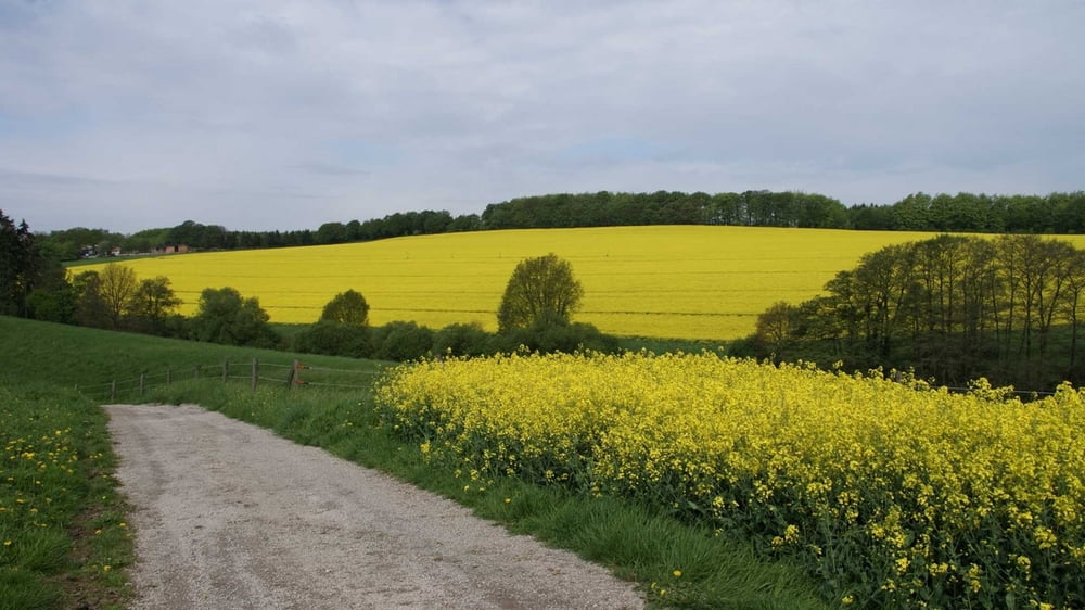
Genialer Rundwanderweg Anfang Mai bei schönem Wetter, die Rapsfelder sind einfach traumhaft.
Der See, zu Begin der Runde, ist alleine schon einen Ausflug wert. Es gibt viele Wasservögel.
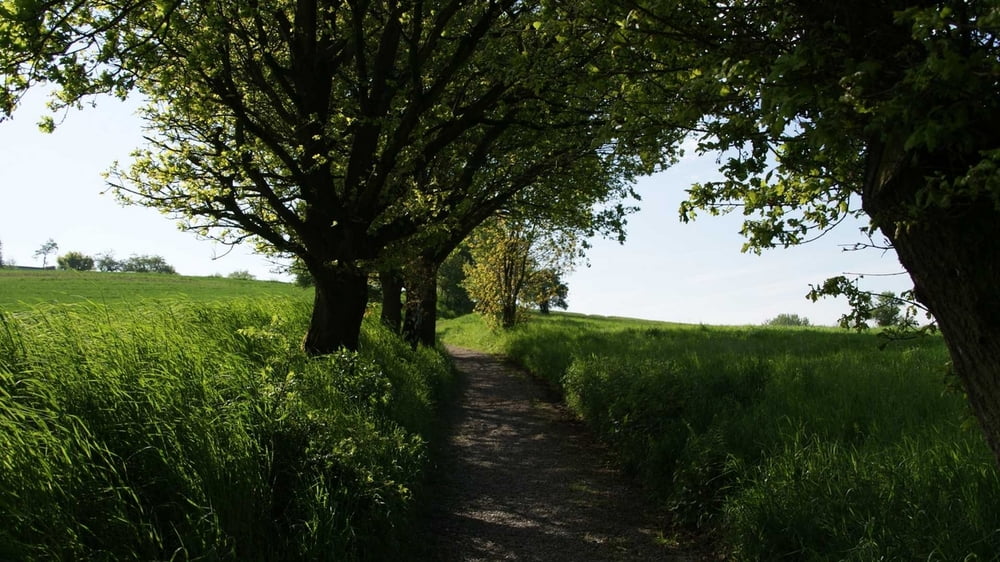
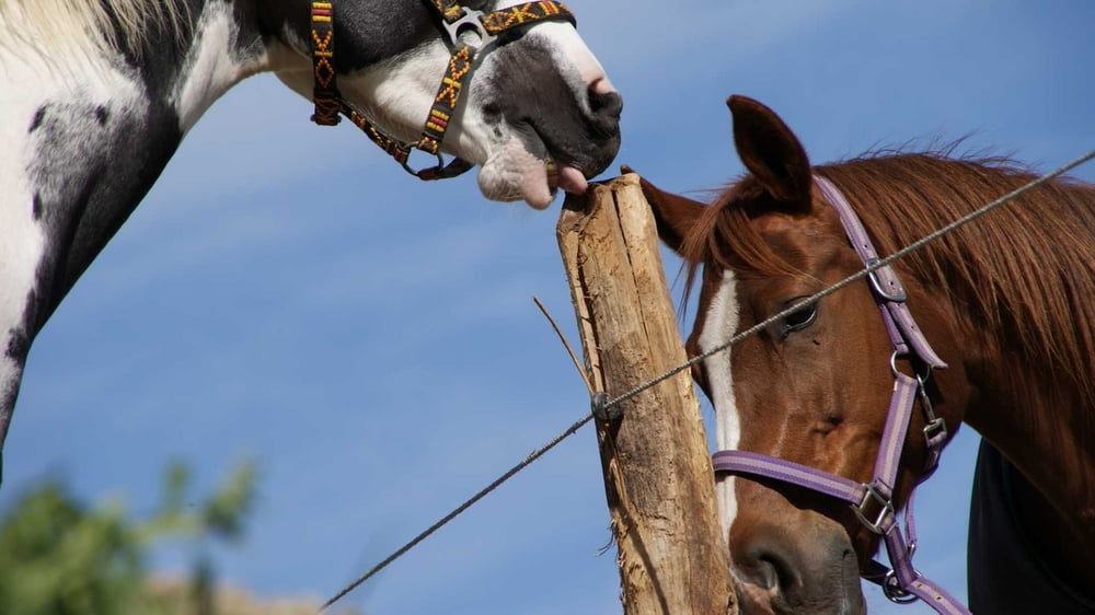
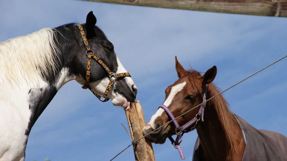
Die Runde ist total abwechelungsreich, Aussichtspunkte, Waldabschnitte, Pferdekoppeln - alles dabei.
Wunderschön!
Viel Spaß beim Nachwandern.
Die Runde ist keine Erfindung von mir, es ist der Rundwanderweg A6.
Further information at
http://uerigefan.oyla.deTour gallery
Tour map and elevation profile
Minimum height 103 m
Maximum height 197 m
More about the tour author

|
Uerigefan |
Comments

Museum Abtsmühle in Heiligenhaus.
Auto Navi: Abtskücher Str. 37, 42579 Heiligenhaus
GPS tracks
Trackpoints-
GPX / Garmin Map Source (gpx) download
-
TCX / Garmin Training Center® (tcx) download
-
CRS / Garmin Training Center® (crs) download
-
Google Earth (kml) download
-
G7ToWin (g7t) download
-
TTQV (trk) download
-
Overlay (ovl) download
-
Fugawi (txt) download
-
Kompass (DAV) Track (tk) download
-
Track data sheet (pdf) download
-
Original file of the author (gpx) download
More about the tour author
|
|
Uerigefan |
Add to my favorites
Remove from my favorites
Edit tags
Open track
My score
Rate