Login

Login oublié ?

Cookies have to be accepted!
Your browser's cookie functionality is disabled. Please enable this functionality.

Not a member yet?

Register now
Login

Available for registred users only

Log in to use this feature.

Login oublié ?

Cookies have to be accepted!
Your browser's cookie functionality is disabled. Please enable this functionality.

Not a member yet?

Register now
Filter
Catégories
Advanced filters
  • Longueur (km)
  • Altimètre
Enregistrer le filtre Reset filter

TrackRank

QRCode

Technical data

Longueur79,6 km Altimètre1674 m Way down1694 m Durée08:30 h:m Date19.05.2012
Evaluations Author Paysage Aspect amusement Condition Technique

Statistiques

528 Vues Evaluations 53 Téléchargements Moyenne
Rate
  • Feuille de tours
  • Arrivée
  • Téléchargements

Vom Waldrevier "Dornbusch", dass ist die Anhöhe am Rennweg hinter dem Königsberger Schloßberg, über den Amtsbotenweg nach Ahorn/Coburg. Der historische Amtsbotenweg ist ein Weg den Amtsboten gingen, zu der Zeit als Königsberg (in Bayern) zu Coburg gehöhrte, (Sachsen-Gotha). Am besten mal zur Geschichte googeln, damit ich nichts falsches dazu schreibe!

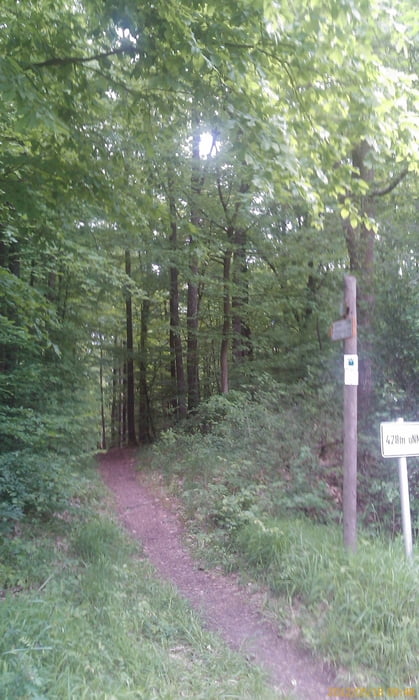
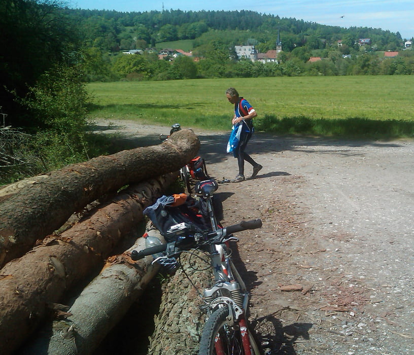
Die Tour hat es in sich, nur Wald- Forst- und Flurwege. Viele Steigungen, von Pfaffendorf hoch nach Altenstein! Einige kurze Waldpfade ("Rampen"), nur zu Fuß begehbar.

Aus konditionellen Gründen sind wir auf dem Rückweg einige wenig befahrene Landstraßen gefahren, anstelle des Amtsbotenweges!

Herrliche Panorama- und Rundblicke (Rhön, Thüringer Wald), entschädigen für die Anstrengunen.

Galerie du tour

Carte du tour et altitude

  • Open Street Map
  • Google
Minimum height 270 m Maximum height 474 m Vue de détail

More about the tour author

Astro
Member since 2009

Send private message

Commentaires

Zeil am Main, Königsberg in Bayern, erreicht man zwischen Schweinfurt und Bamberg!

Tracks GPS

Trackpoints
  • GPX / Garmin Map Source (gpx) download
  • TCX / Garmin Training Center® (tcx) download
  • CRS / Garmin Training Center® (crs) download
  • Google Earth (kml) download
  • G7ToWin (g7t) download
  • TTQV (trk) download
  • Overlay (ovl) download
  • Fugawi (txt) download
  • Kompass (DAV) Track (tk) download
  • Feuille de tours (pdf) download
  • Original file of the author (gpx) download

More about the tour author

Astro
Member since 2009

Send private message
Share track
Add to my favorites
Remove from my favorites
Edit tags
My score
Rate
Tour: Von Zeil am Main über den Amtsbotenweg nach Coburg, via Königsberg/Bayern
Cat.: Mountainbike
Longueur: 79,6 km
Evaluated on:
Durée:
Day(s)
Hour(s)
Minute(s)
Evaluation: Paysage Aspect amusement Condition Technique