Login

Login oublié ?

Cookies have to be accepted!
Your browser's cookie functionality is disabled. Please enable this functionality.

Not a member yet?

Register now
Login

Available for registred users only

Log in to use this feature.

Login oublié ?

Cookies have to be accepted!
Your browser's cookie functionality is disabled. Please enable this functionality.

Not a member yet?

Register now
Filter
Catégories
Advanced filters
  • Longueur (km)
  • Altimètre
Enregistrer le filtre Reset filter

TrackRank

QRCode

Technical data

Longueur73,0 km Altimètre2106 m Way down2096 m Durée06:30 h:m Date13.08.2012
Evaluations Author Paysage Aspect amusement Condition Technique

Statistiques

332 Vues Evaluations 44 Téléchargements Moyenne
Rate
  • Feuille de tours
  • Arrivée
  • Téléchargements

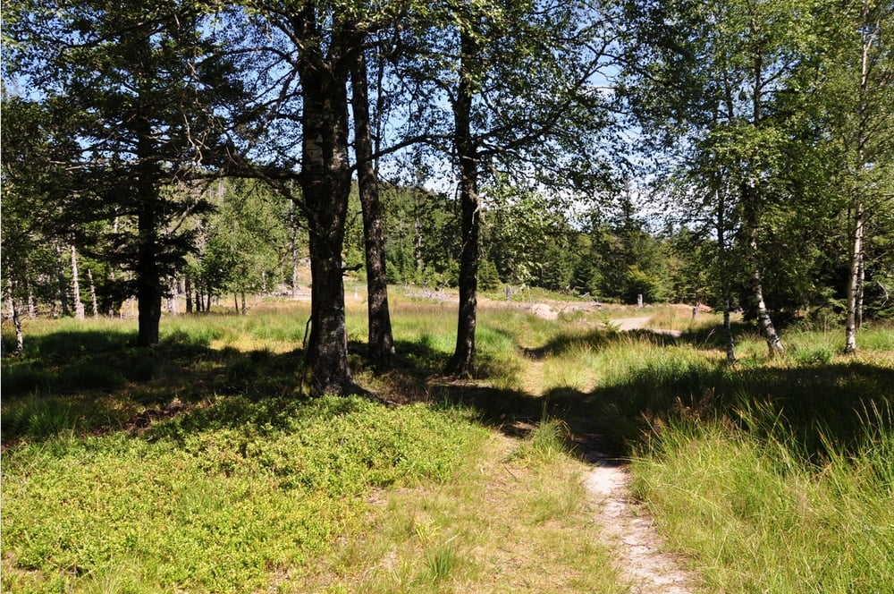
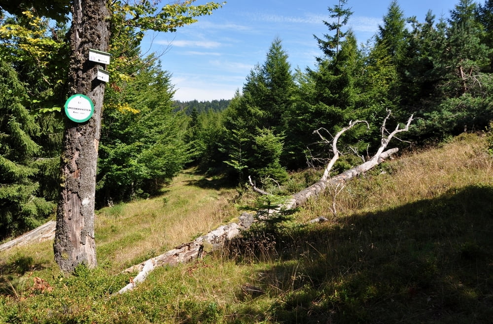
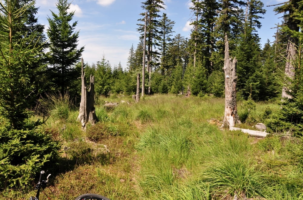
Anstrengende Tour ab Oberhaslach, einige Trails.

Start in Oberhaslach an "Mehrzweckhalle", großer Parkplatz.

Schöner Trail entlang Campingplatz, dann Haseltal hoch, immer wieder Trailpassagen. Kollege Pascal (Tour Nummer #38413) ist das ganze in umgekehrter Richtung gefahren, ist vielleicht sinnvoller.


Further information at

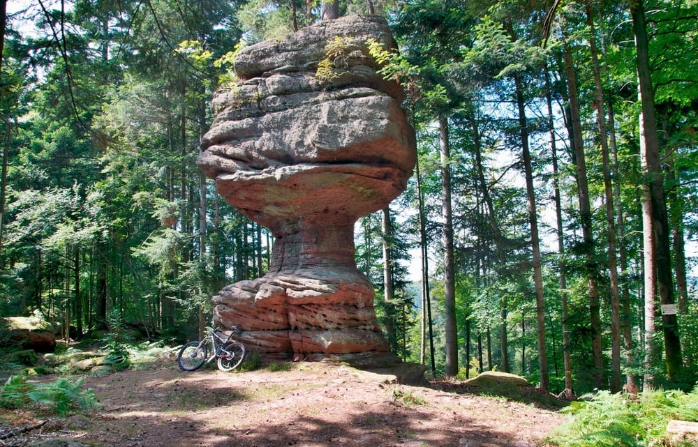
http://randypanguitch.wordpress.com/?page_id=2318

Galerie du tour

Carte du tour et altitude

  • Open Street Map
  • Google
Minimum height 279 m Maximum height 938 m Vue de détail

More about the tour author

RandB
Member since 2006

Send private message

Commentaires

Autobahn Strasbourg - Urmatt - Niederhaslach - Oberhaslach

Tracks GPS

Trackpoints
  • GPX / Garmin Map Source (gpx) download
  • TCX / Garmin Training Center® (tcx) download
  • CRS / Garmin Training Center® (crs) download
  • Google Earth (kml) download
  • G7ToWin (g7t) download
  • TTQV (trk) download
  • Overlay (ovl) download
  • Fugawi (txt) download
  • Kompass (DAV) Track (tk) download
  • Feuille de tours (pdf) download
  • Original file of the author (gpx) download

More about the tour author

RandB
Member since 2006

Send private message
Share track
Add to my favorites
Remove from my favorites
Edit tags
My score
Rate
Tour: Oberhaslach - Fresstanne - Walscheid
Cat.: Mountainbike
Longueur: 73,0 km
Evaluated on:
Durée:
Day(s)
Hour(s)
Minute(s)
Evaluation: Paysage Aspect amusement Condition Technique