


Von Pederoa ging es über Alt Wengen auf Asphalt ins Wengental. Nach 6.6 km und 500 hm beginnt ein guter Schotterweg der den Bergrücken entlang hinauf zu den Armentara Wiesen führt. Ab dem Armentara Berg (km 11.7 beginnt ein steiler Karrenweg (Col de Trames, 15a) auf dem wir durch wunderschöne Landschaft teils fahrend, teils schiebend das Heiligkreuz Hospitz erreichten. Nach einer Stärkung im Gasthof ging es auf einem gut fahrbaren Singletrail leicht bergab, teils eben, Richtung Süden nach la Villa. Von dort auf der Bundestraße zurück nach Pederoa. Die Rückfahrt auf der recht stark befahrenen Bundestraße ist der einzige Schwachpunkt dieser Tour! Es sollte aber einfach sein hierzu Alternativen zu finden!
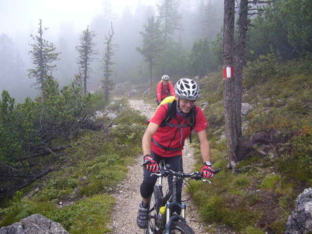
Galerie du tour
Carte du tour et altitude
Minimum height 1152 m
Maximum height 2068 m

Commentaires

Wir waren bei unserem Bike-Camp (USI-Biken) im Sporthotel Exclusive (www.sporthotel-exclusive.com) untergebracht. Freundliches Personal - super Service -hervorragende Küche! Kann ich nur weiterempfehlen!
Tracks GPS
Trackpoints-
GPX / Garmin Map Source (gpx) download
-
TCX / Garmin Training Center® (tcx) download
-
CRS / Garmin Training Center® (crs) download
-
Google Earth (kml) download
-
G7ToWin (g7t) download
-
TTQV (trk) download
-
Overlay (ovl) download
-
Fugawi (txt) download
-
Kompass (DAV) Track (tk) download
-
Feuille de tours (pdf) download
-
Original file of the author (gpx) download
Add to my favorites
Remove from my favorites
Edit tags
Open track
My score
Rate