


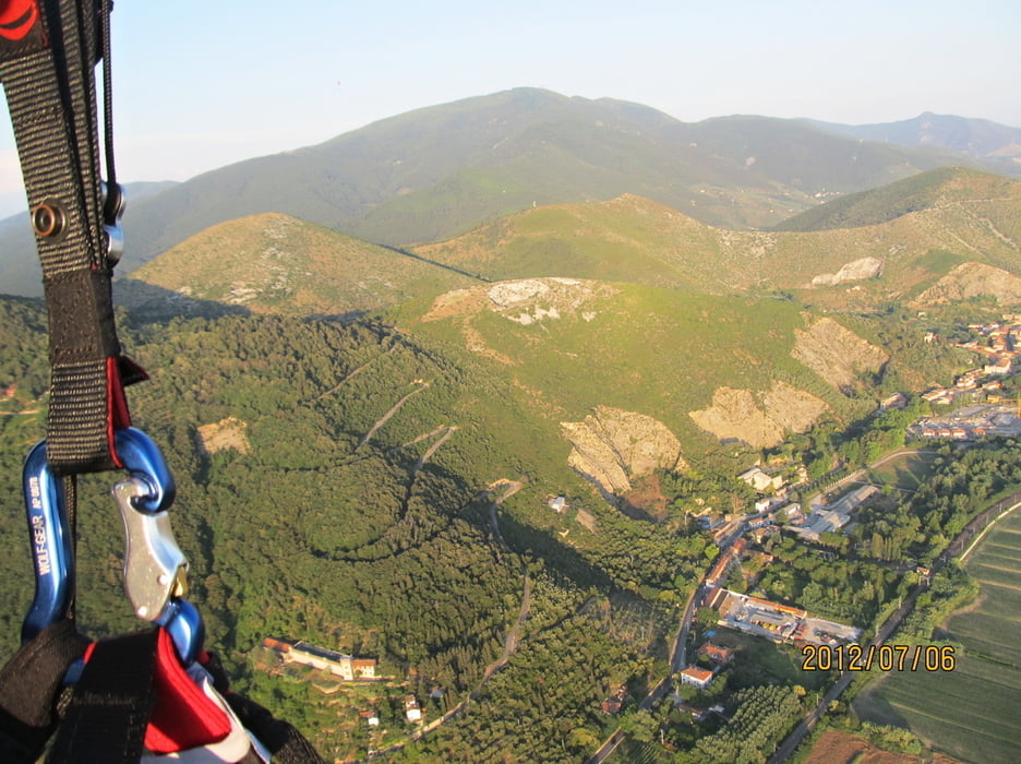
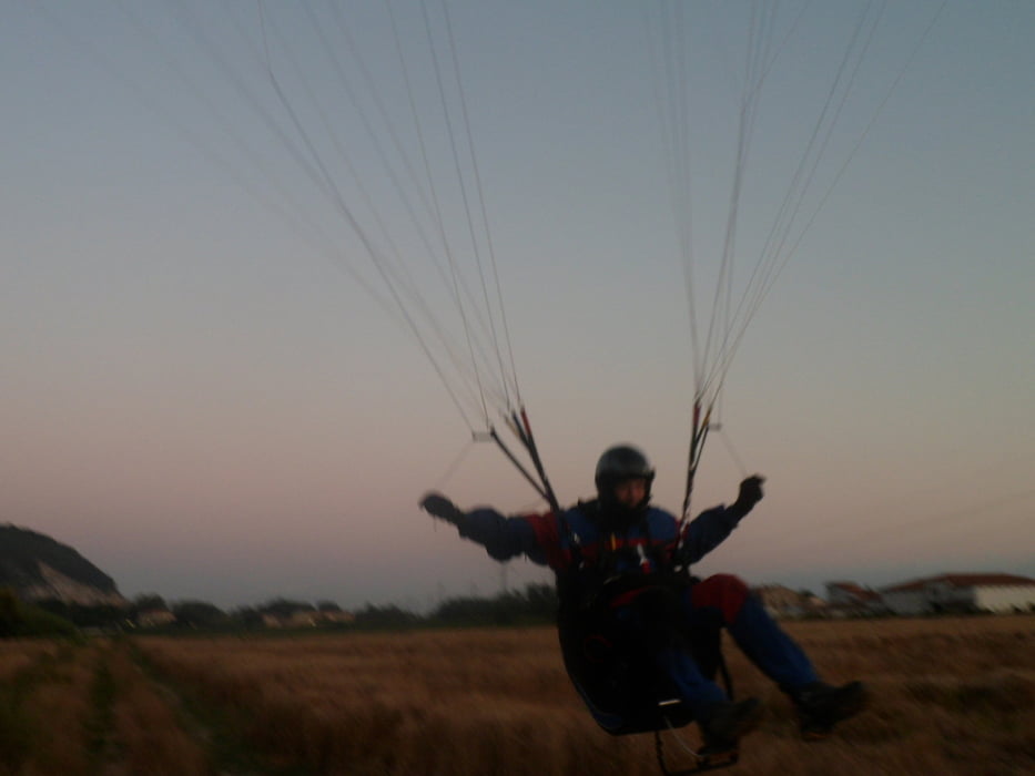
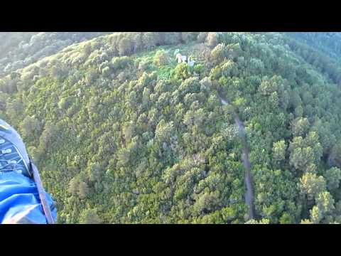
Ráno jsme se probudili na Diecimo; dnes zajedeme na Pizzorne, odkud nás rychlý vývoj oblačnosti vyžene jižněji z hor na San Giuliano Terme poblíž Pisa. Tady sice duní, a někteří místní lítači zůstanou na zemi, my ale vyčkáme a později náramně polétáme až dokud nás nepřinutí přistát západ slunce.
V Italia jsem zhotovil pár foto a video, budu rád, když si je prohlédnete, klikněte na odkaz pod "Další informace". Děkuji.
Further information at
http://stanpilot.rajce.idnes.cz/PG_2012-07-06_paragliding_Italia_-_Pizzorne%2C_San_Giuliano_Terme/Galerie du tour
Carte du tour et altitude
Minimum height 20 m
Maximum height 509 m
More about the tour author
|
|
stan - pilot |
Commentaires

Městečko Diecimo leží severně nad městem Lucca na silnici č. SP 20, poblíž řeky Serchio.
Přes řeku tady mají postavený velmi zajímavý kamenný most - Ponte della Maddalena, jak si můžete prohlédnout na přiloženém foto, a také ve fotogalerii, na níž se dostanete, když kliknete na k tomu určený odkaz, umístěný na stránce pod popisem trasy.
Přes řeku tady mají postavený velmi zajímavý kamenný most - Ponte della Maddalena, jak si můžete prohlédnout na přiloženém foto, a také ve fotogalerii, na níž se dostanete, když kliknete na k tomu určený odkaz, umístěný na stránce pod popisem trasy.
Tracks GPS
Trackpoints-
GPX / Garmin Map Source (gpx) download
-
TCX / Garmin Training Center® (tcx) download
-
CRS / Garmin Training Center® (crs) download
-
Google Earth (kml) download
-
G7ToWin (g7t) download
-
TTQV (trk) download
-
Overlay (ovl) download
-
Fugawi (txt) download
-
Kompass (DAV) Track (tk) download
-
Feuille de tours (pdf) download
-
Original file of the author (gpx) download
More about the tour author
|
|
stan - pilot |
Add to my favorites
Remove from my favorites
Edit tags
Open track
My score
Rate