Login

Login oublié ?

Cookies have to be accepted!
Your browser's cookie functionality is disabled. Please enable this functionality.

Not a member yet?

Register now
Login

Available for registred users only

Log in to use this feature.

Login oublié ?

Cookies have to be accepted!
Your browser's cookie functionality is disabled. Please enable this functionality.

Not a member yet?

Register now
Filter
Catégories
Advanced filters
  • Longueur (km)
  • Altimètre
Enregistrer le filtre Reset filter

TrackRank

QRCode

Technical data

Longueur13,6 km Altimètre433 m Way down414 m Durée03:00 h:m Date04.05.2013
Evaluations Author Paysage Aspect amusement Condition Technique

Statistiques

721 Vues Evaluations 72 Téléchargements Moyenne
Rate
  • Feuille de tours
  • Arrivée
  • Téléchargements

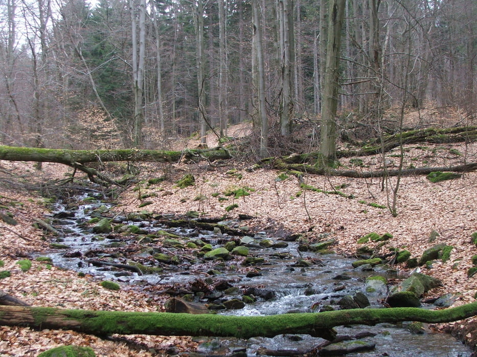
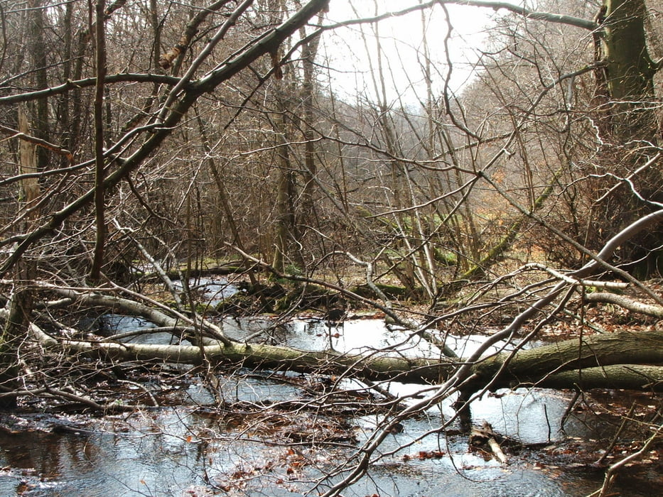
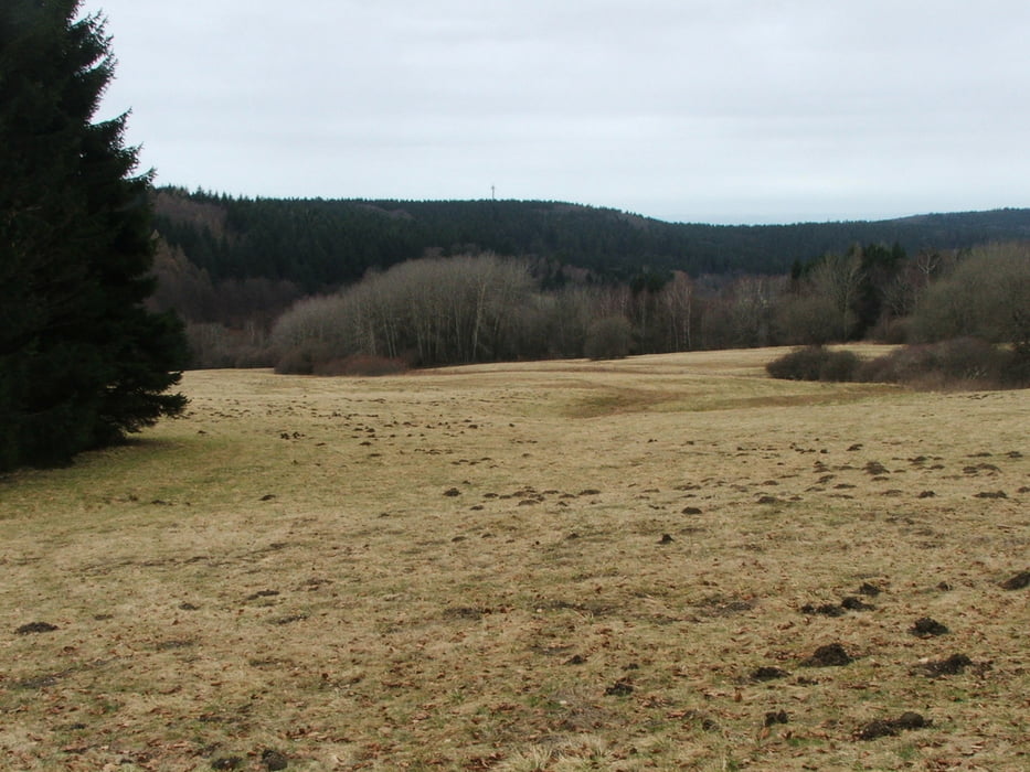
Wegverlauf: Königstein - Reichenbachtal - Kleiner Feldberg - Reifenberger Wiesen - Rotes Kreuz - Königstein


Galerie du tour

Carte du tour et altitude

  • Open Street Map
  • Google
Minimum height 430 m Maximum height 806 m Vue de détail

More about the tour author

lothardomnik
Member since 2009

Send private message

Commentaires

Start- und Endpunkt der Wanderung ist die Haltestelle Königstein Friedhof, die von mehreren Buslinien bedient wird.

Tracks GPS

Trackpoints
  • GPX / Garmin Map Source (gpx) download
  • TCX / Garmin Training Center® (tcx) download
  • CRS / Garmin Training Center® (crs) download
  • Google Earth (kml) download
  • G7ToWin (g7t) download
  • TTQV (trk) download
  • Overlay (ovl) download
  • Fugawi (txt) download
  • Kompass (DAV) Track (tk) download
  • Feuille de tours (pdf) download
  • Original file of the author (gpx) download

More about the tour author

lothardomnik
Member since 2009

Send private message
Share track
Add to my favorites
Remove from my favorites
Edit tags
My score
Rate
Tour: Taunus: Königstein - Kleiner Feldberg - Königstein
Cat.: Randonnées
Longueur: 13,6 km
Evaluated on:
Durée:
Day(s)
Hour(s)
Minute(s)
Evaluation: Paysage Aspect amusement Condition Technique