Login

Login oublié ?

Cookies have to be accepted!
Your browser's cookie functionality is disabled. Please enable this functionality.

Not a member yet?

Register now
Login

Available for registred users only

Log in to use this feature.

Login oublié ?

Cookies have to be accepted!
Your browser's cookie functionality is disabled. Please enable this functionality.

Not a member yet?

Register now
Filter
Catégories
Advanced filters
  • Longueur (km)
  • Altimètre
Enregistrer le filtre Reset filter

TrackRank

QRCode

Technical data

Longueur16,2 km Altimètre178 m Way down168 m Durée04:00 h:m Date04.05.2013
Evaluations Author Paysage Aspect amusement Condition Technique

Statistiques

3395 Vues 1 Evaluation 178 Téléchargements 4.00 Moyenne
Rate
  • Feuille de tours
  • Arrivée
  • Téléchargements

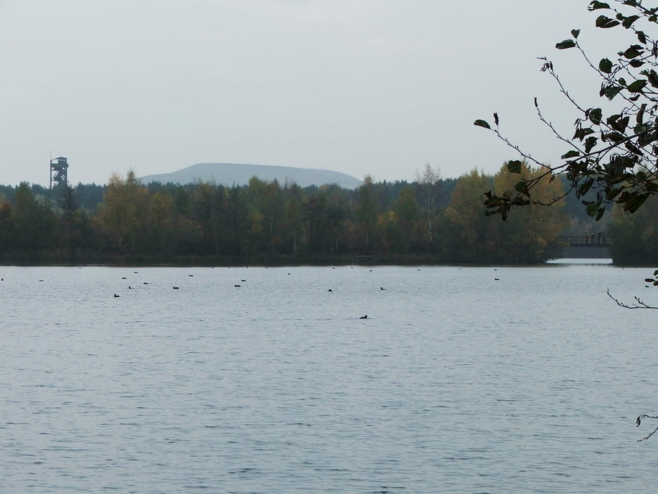
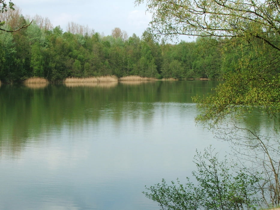
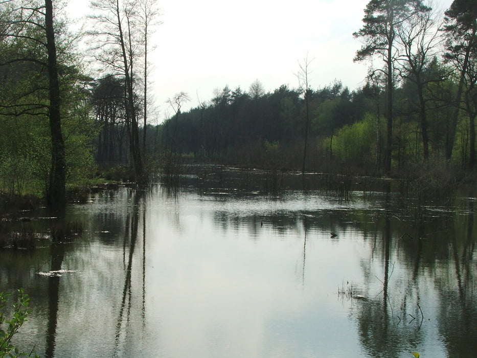
Rundwanderung durch die Kirchheller Heide (Teil des Naturparks Hohe Mark): Wald, windungsreiche Bäche und Seen.


Galerie du tour

Carte du tour et altitude

  • Open Street Map
  • Google
Minimum height 40 m Maximum height 81 m Vue de détail

More about the tour author

lothardomnik
Member since 2009

Send private message

Commentaires

Toak68 on 12.05.2015

Ruhrgebiet: Kirchheller Heide

Haben heute (12.05.2015) mit Hund die Runde gemacht. So positiv hat uns eine Strecken sehr selten. Sehr schöne Natur mit reichlich Wasserstellen. Am Wochenende soll in dem Gebiet wohl mächtig was los sein, wir hatten heute kaum Radfahrer, Reiter und Wanderer getroffen. Alles in allem super toller Weg.
Toak68 on 12.05.2015

Ruhrgebiet: Kirchheller Heide

Haben heute (12.05.2015) mit Hund die Runde gemacht. So positiv überrascht hat uns eine Strecken sehr selten. Sehr schöne Natur mit reichlich Wasserstellen. Am Wochenende soll in dem Gebiet wohl mächtig was los sein, wir hatten heute kaum Radfahrer, Reiter und Wanderer getroffen. Alles in allem super toller Weg.
Start- und Endpunkt: Parkplatz Rotbachtal bei Grafenmühle an der L621 (Alter Postweg) nördlich von Oberhausen-Königshardt

Tracks GPS

Trackpoints
  • GPX / Garmin Map Source (gpx) download
  • TCX / Garmin Training Center® (tcx) download
  • CRS / Garmin Training Center® (crs) download
  • Google Earth (kml) download
  • G7ToWin (g7t) download
  • TTQV (trk) download
  • Overlay (ovl) download
  • Fugawi (txt) download
  • Kompass (DAV) Track (tk) download
  • Feuille de tours (pdf) download
  • Original file of the author (gpx) download

More about the tour author

lothardomnik
Member since 2009

Send private message
Share track
Add to my favorites
Remove from my favorites
Edit tags
My score
Rate
Tour: Ruhrgebiet: Kirchheller Heide
Cat.: Randonnées
Longueur: 16,2 km
Evaluated on:
Durée:
Day(s)
Hour(s)
Minute(s)
Evaluation: Paysage Aspect amusement Condition Technique