Login

Login oublié ?

Cookies have to be accepted!
Your browser's cookie functionality is disabled. Please enable this functionality.

Not a member yet?

Register now
Login

Available for registred users only

Log in to use this feature.

Login oublié ?

Cookies have to be accepted!
Your browser's cookie functionality is disabled. Please enable this functionality.

Not a member yet?

Register now
Filter
Catégories
Advanced filters
  • Longueur (km)
  • Altimètre
Enregistrer le filtre Reset filter

TrackRank

QRCode

Technical data

Longueur17,8 km Altimètre488 m Way down497 m Durée04:15 h:m Date11.11.2013
Evaluations Author Paysage Aspect amusement Condition Technique

Statistiques

934 Vues Evaluations 17 Téléchargements Moyenne
Rate
  • Feuille de tours
  • Arrivée
  • Téléchargements

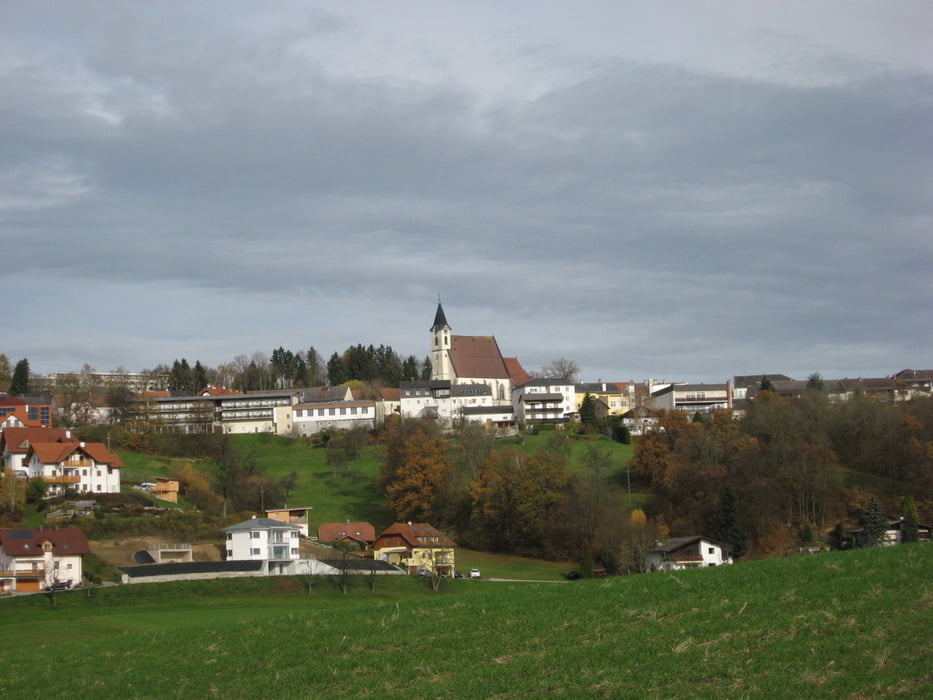
Vom Ortszentrum wandern wir hinunter zur Burg Kreuzen und hinab in die Wolfsschlucht. Am Ende der Schlucht auf Waldwegen hinauf zur Speck-Alm und auf Forst- und Güterwegen hinunter nach Grein.

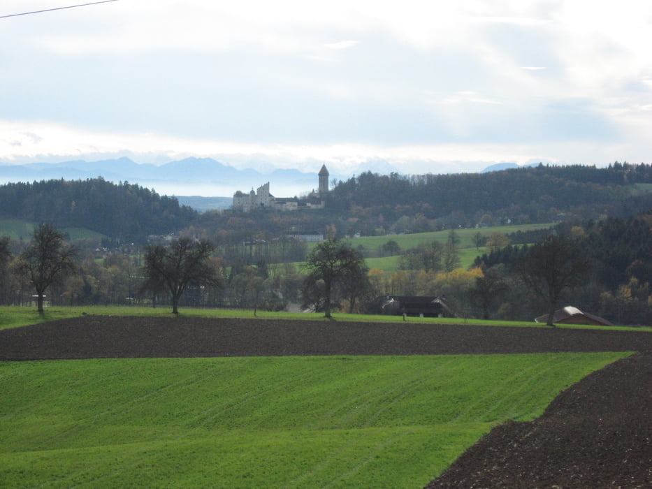
Von Grein geht es mit schönen Ausblicken auf die Burg Clam hinüber nach Aschaumühle und den Sulzbach entlang wieder hinauf nach Bad Kreuzen.


Further information at

http://www.donausteig.com

Galerie du tour

Carte du tour et altitude

  • Open Street Map
  • Google
Minimum height 228 m Maximum height 482 m Vue de détail

More about the tour author

JoHangler
Member since 2013

Send private message

Commentaires

Von der Donauuferstraße B3 von Grein oder Perg in nördlicher bzw. nordöstlicher Richtung nach Bad Kreuzen.


Tracks GPS

Trackpoints
  • GPX / Garmin Map Source (gpx) download
  • TCX / Garmin Training Center® (tcx) download
  • CRS / Garmin Training Center® (crs) download
  • Google Earth (kml) download
  • G7ToWin (g7t) download
  • TTQV (trk) download
  • Overlay (ovl) download
  • Fugawi (txt) download
  • Kompass (DAV) Track (tk) download
  • Feuille de tours (pdf) download
  • Original file of the author (gpx) download

More about the tour author

JoHangler
Member since 2013

Send private message
Share track
Add to my favorites
Remove from my favorites
Edit tags
My score
Rate
Tour: Kreuzner Donausteigrunde
Cat.: Randonnées
Longueur: 17,8 km
Evaluated on:
Durée:
Day(s)
Hour(s)
Minute(s)
Evaluation: Paysage Aspect amusement Condition Technique