Login

Login oublié ?

Cookies have to be accepted!
Your browser's cookie functionality is disabled. Please enable this functionality.

Not a member yet?

Register now
Login

Available for registred users only

Log in to use this feature.

Login oublié ?

Cookies have to be accepted!
Your browser's cookie functionality is disabled. Please enable this functionality.

Not a member yet?

Register now
Filter
Catégories
Advanced filters
  • Longueur (km)
  • Altimètre
Enregistrer le filtre Reset filter

TrackRank

QRCode

Technical data

Longueur38,6 km Altimètre778 m Way down779 m Durée02:30 h:m Date19.07.2014
Evaluations Author Paysage Aspect amusement Condition Technique

Statistiques

360 Vues Evaluations 97 Téléchargements Moyenne
Rate
  • Feuille de tours
  • Arrivée
  • Téléchargements
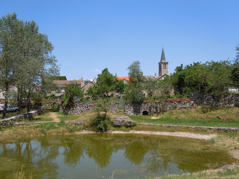
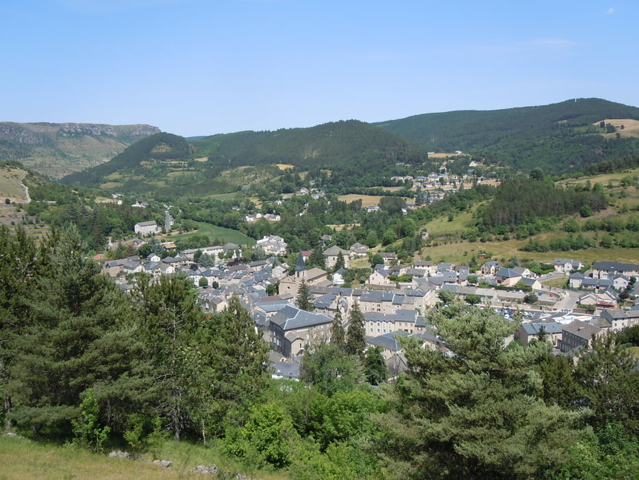
Schöne Tour von Meyrueis ausgehend. Zu Beginn alles auf Aspahlt immer leicht bergab, dann eine wunderschöne Serpentine hoch und dann auf dem Hochplateau zurück nach Meyrueis - einmal mit einem Abstecher über einen Grande Route Wanderweg.

Galerie du tour

Carte du tour et altitude

  • Open Street Map
  • Google
Minimum height 468 m Maximum height 989 m Vue de détail

More about the tour author

oberschlumpf
Member since 2010

Send private message

Commentaires

Tracks GPS

Trackpoints
  • GPX / Garmin Map Source (gpx) download
  • TCX / Garmin Training Center® (tcx) download
  • CRS / Garmin Training Center® (crs) download
  • Google Earth (kml) download
  • G7ToWin (g7t) download
  • TTQV (trk) download
  • Overlay (ovl) download
  • Fugawi (txt) download
  • Kompass (DAV) Track (tk) download
  • Feuille de tours (pdf) download
  • Original file of the author (tcx) download

More about the tour author

oberschlumpf
Member since 2010

Send private message
Share track
Add to my favorites
Remove from my favorites
Edit tags
My score
Rate
Tour: Durch Schluchten und über Hochplateaus
Cat.: Mountainbike
Longueur: 38,6 km
Evaluated on:
Durée:
Day(s)
Hour(s)
Minute(s)
Evaluation: Paysage Aspect amusement Condition Technique