


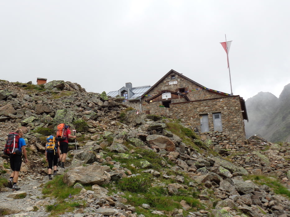
Vom Parkplatz oberhalb von Gries zu den Häusern von Winnebach. Dort dem markierten Steig in 2 Std. folgen zur Winnebachseehütte 2.361 m.
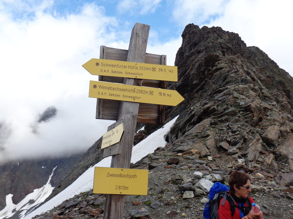
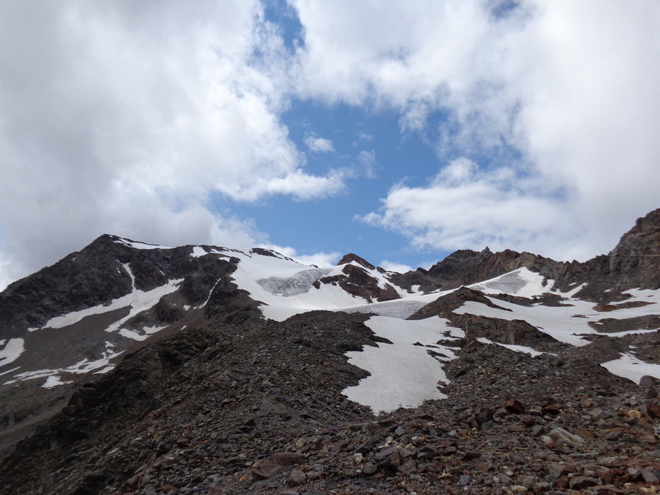
Von der Winnebachseehütte wollten wir ursprünglich hinauf zum Breiter Grieskogel, 3.287m. Ein Schlechtwettereinbruch zwingt uns beim Beginn des Gletschers auf 3.011 m Höhe zur Umkehr. Wir steigen noch zum Zwieselbachjoch, 2.868 m hinauf und nehmen am Rückweg den Gipfel des Leschhorn, 2.724 m.
Das Leschhorn wird vom Weg in östlicher Richtung in leichter Kletterei (I) unschwierig erreicht.
Galerie du tour
Carte du tour et altitude
Minimum height 1640 m
Maximum height 3011 m

Commentaires

Auf der Autobahn A12 bis zur Ausfahrt Ötzal. Durch das Ötztal bis nach Längenfeld. Dort links hinauf nach Gries und bei der Rechtskehre einige Parkplätze der Winnebachseehütte.
Tracks GPS
Trackpoints-
GPX / Garmin Map Source (gpx) download
-
TCX / Garmin Training Center® (tcx) download
-
CRS / Garmin Training Center® (crs) download
-
Google Earth (kml) download
-
G7ToWin (g7t) download
-
TTQV (trk) download
-
Overlay (ovl) download
-
Fugawi (txt) download
-
Kompass (DAV) Track (tk) download
-
Feuille de tours (pdf) download
-
Original file of the author (gpx) download
Add to my favorites
Remove from my favorites
Edit tags
Open track
My score
Rate