Login

Login oublié ?

Cookies have to be accepted!
Your browser's cookie functionality is disabled. Please enable this functionality.

Not a member yet?

Register now
Login

Available for registred users only

Log in to use this feature.

Login oublié ?

Cookies have to be accepted!
Your browser's cookie functionality is disabled. Please enable this functionality.

Not a member yet?

Register now
Filter
Catégories
Advanced filters
  • Longueur (km)
  • Altimètre
Enregistrer le filtre Reset filter

TrackRank

QRCode

Technical data

Longueur237,9 km Altimètre0 m Way down0 m Durée1 day 0 h Date03.09.2014
Evaluations Author User Paysage Aspect amusement Condition Technique

Statistiques

393 Vues Evaluations 27 Téléchargements Moyenne
Rate
  • Feuille de tours
  • Arrivée
  • Téléchargements
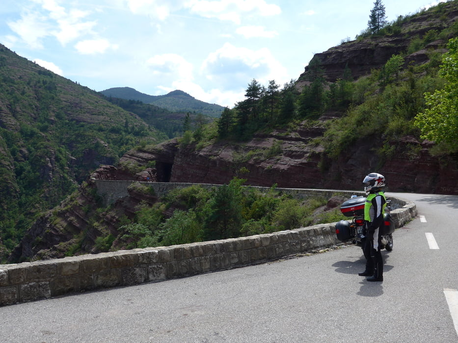
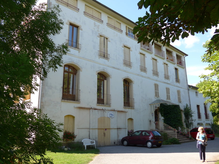
Schöne Tour in den Maritimes Alpes mit einer Strecke mit 17 Tunnels im roten Felsen. (Ruisseau de Vionène) Saint Andre les Alpes, Hôtel Monge, etwas abgenuzt, feines Frühstück.

Galerie du tour

Carte du tour et altitude

  • Open Street Map
  • Google
Minimum height 99999 m Maximum height -99999 m Vue de détail

More about the tour author

pluess0254
Member since 2011

Send private message

Commentaires

Tracks GPS

Trackpoints
  • GPX / Garmin Map Source (gpx) download
  • TCX / Garmin Training Center® (tcx) download
  • CRS / Garmin Training Center® (crs) download
  • Google Earth (kml) download
  • G7ToWin (g7t) download
  • TTQV (trk) download
  • Overlay (ovl) download
  • Fugawi (txt) download
  • Kompass (DAV) Track (tk) download
  • Feuille de tours (pdf) download
  • Original file of the author (gpx) download

More about the tour author

pluess0254
Member since 2011

Send private message
Share track
Add to my favorites
Remove from my favorites
Edit tags
My score
Rate
Tour: 3. Tag Breil sur Roy - Saint Andre les Alps
Cat.: Moto
Longueur: 237,9 km
Evaluated on:
Durée:
Day(s)
Hour(s)
Minute(s)
Evaluation: Paysage Aspect amusement Condition Technique