


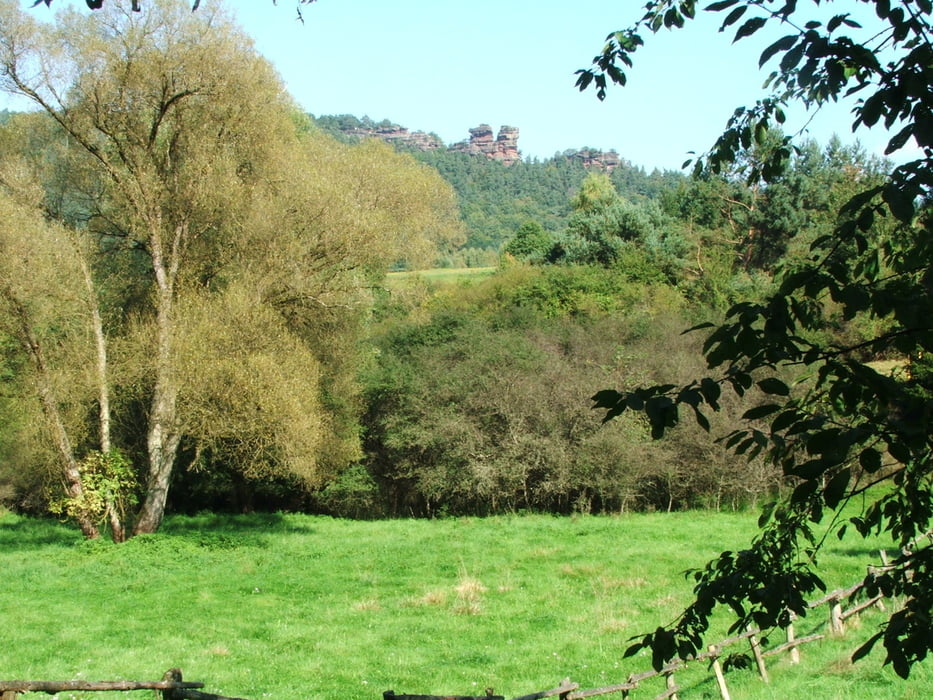
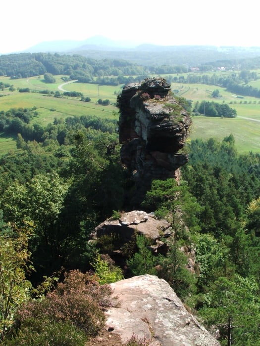
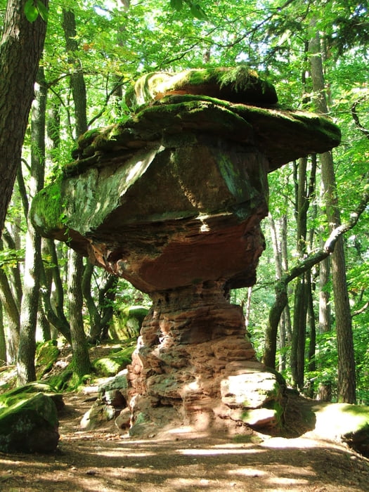
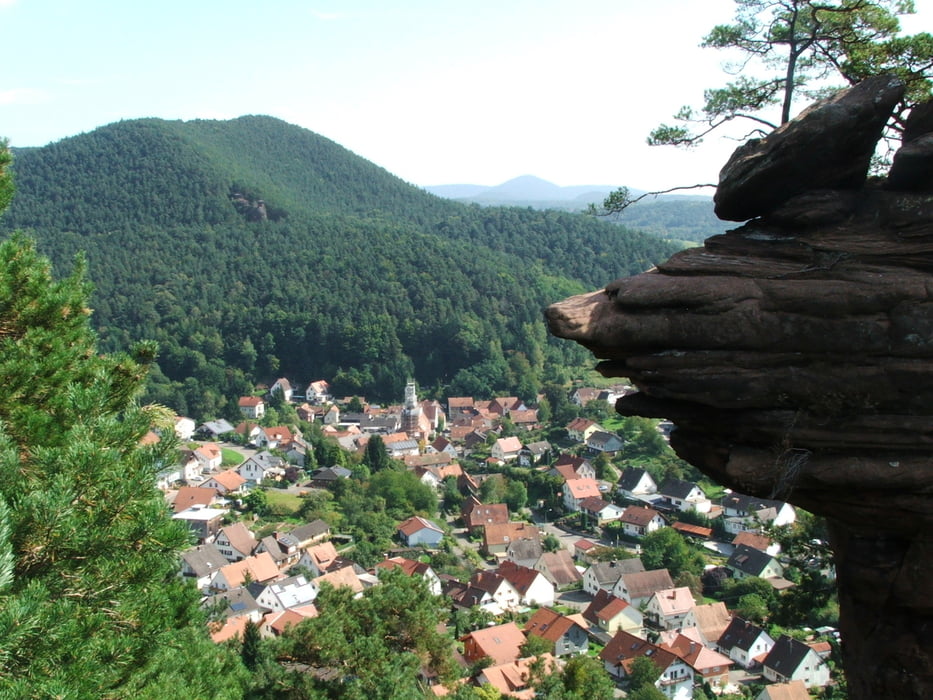
Wegverlauf: Vorderweidenthal - Ruine Lindelbrunn - Rötzenfels - Rötzenberg - Geiersteine - Hornstein - Lug - Friedrichsfels - Höllenfelsen - Spirkelbach - Wilgartswiesen
Galerie du tour
Carte du tour et altitude
Minimum height 212 m
Maximum height 471 m
More about the tour author
|
|
lothardomnik |
Commentaires

Hinfahrt: Von Landau oder Pirmasens mit Zug bis Hinterweidenthal Bf., sporadische Busverbindung Hinterweidenthal - Dahn - Vorderweidenthal. Nur im Sommer mittwochs, samstags und sonntags direkte Zugverbindung von Landau - Annweiler - Hinterweidenthal Ort - Dahn nach Busenberg=Schindhard, sporadische Busverbindung von dort nach Vorderweidenthal.
Rückfahrt: Von Wilgartswiesen mit Zug nach Landau oder Pirmasens.
Tracks GPS
Trackpoints-
GPX / Garmin Map Source (gpx) download
-
TCX / Garmin Training Center® (tcx) download
-
CRS / Garmin Training Center® (crs) download
-
Google Earth (kml) download
-
G7ToWin (g7t) download
-
TTQV (trk) download
-
Overlay (ovl) download
-
Fugawi (txt) download
-
Kompass (DAV) Track (tk) download
-
Feuille de tours (pdf) download
-
Original file of the author (gpx) download
More about the tour author
|
|
lothardomnik |
Add to my favorites
Remove from my favorites
Edit tags
Open track
My score
Rate