Login

Login oublié ?

Cookies have to be accepted!
Your browser's cookie functionality is disabled. Please enable this functionality.

Not a member yet?

Register now
Login

Available for registred users only

Log in to use this feature.

Login oublié ?

Cookies have to be accepted!
Your browser's cookie functionality is disabled. Please enable this functionality.

Not a member yet?

Register now
Filter
Catégories
Advanced filters
  • Longueur (km)
  • Altimètre
Enregistrer le filtre Reset filter

TrackRank

QRCode

Technical data

Longueur31,3 km Altimètre542 m Way down541 m Durée01:57 h:m Date19.04.2015
Evaluations Author User Paysage Aspect amusement Condition Technique

Statistiques

484 Vues Evaluations 20 Téléchargements Moyenne
Rate
  • Feuille de tours
  • Arrivée
  • Téléchargements

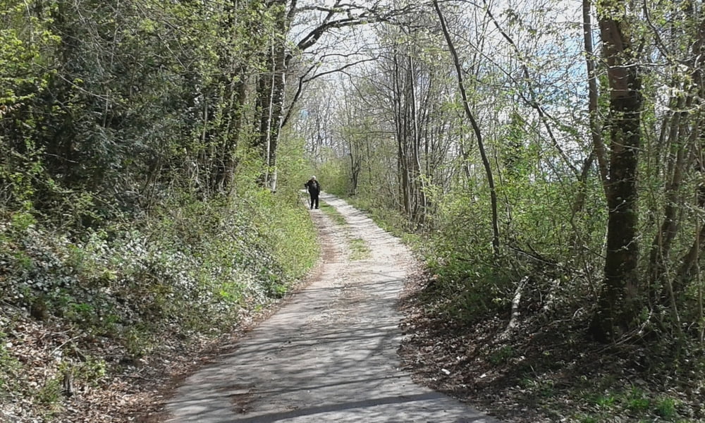
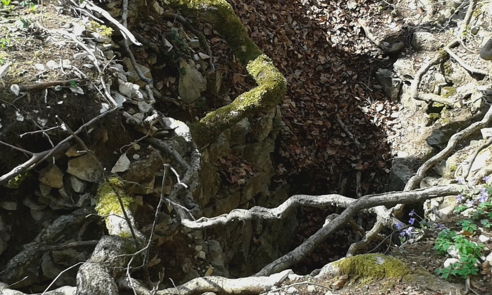
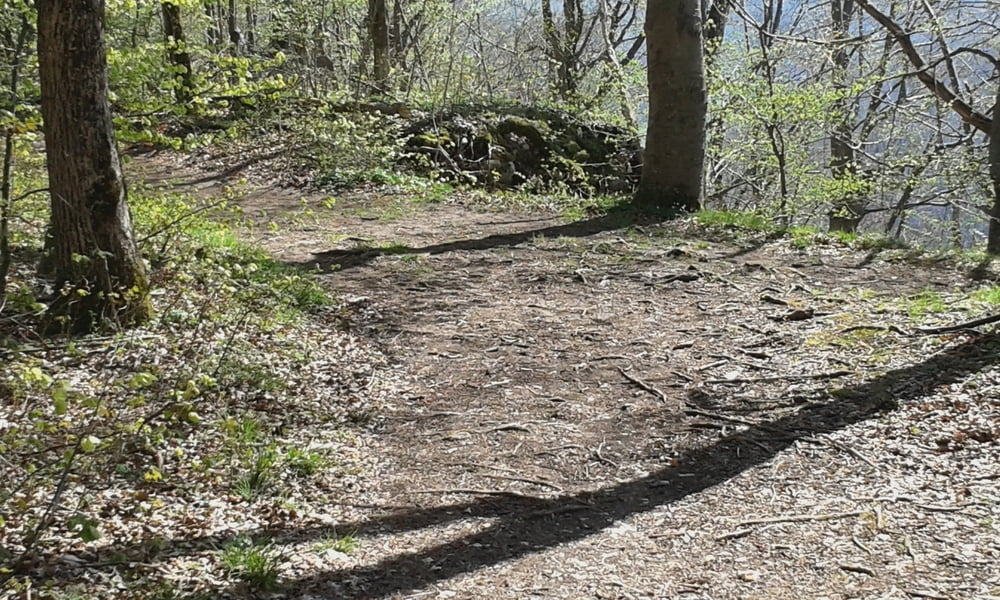
Start in Metzingen auf Asphalt nach Bad Urach und dann über Waldwege zum Buckleden Kapf und den Höllenlöchern bei Bad Urach .Man streift auch den Nägelesfelsen,

Stellenweise Schiebepassagen wenn man todesmutig ist kann man auch von den Höllenlöchern aus nach unten Fahren.andernfalls laufen und schieben.Ist eine Rundfahrt

Galerie du tour

Carte du tour et altitude

  • Open Street Map
  • Google
Minimum height 343 m Maximum height 745 m Vue de détail

More about the tour author

Cokedealer
Member since 2013

Send private message

Commentaires

Start in Metzingen eventuell am Kaufland gute Parkmöglichkeiten am Sonntag


Tracks GPS

Trackpoints
  • GPX / Garmin Map Source (gpx) download
  • TCX / Garmin Training Center® (tcx) download
  • CRS / Garmin Training Center® (crs) download
  • Google Earth (kml) download
  • G7ToWin (g7t) download
  • TTQV (trk) download
  • Overlay (ovl) download
  • Fugawi (txt) download
  • Kompass (DAV) Track (tk) download
  • Feuille de tours (pdf) download
  • Original file of the author (gpx) download

More about the tour author

Cokedealer
Member since 2013

Send private message
Share track
Add to my favorites
Remove from my favorites
Edit tags
My score
Rate
Tour: Höllenlöcher Bad Urach
Cat.: Mountainbike
Longueur: 31,3 km
Evaluated on:
Durée:
Day(s)
Hour(s)
Minute(s)
Evaluation: Paysage Aspect amusement Condition Technique