Login

Login oublié ?

Cookies have to be accepted!
Your browser's cookie functionality is disabled. Please enable this functionality.

Not a member yet?

Register now
Login

Available for registred users only

Log in to use this feature.

Login oublié ?

Cookies have to be accepted!
Your browser's cookie functionality is disabled. Please enable this functionality.

Not a member yet?

Register now
Filter
Catégories
Advanced filters
  • Longueur (km)
  • Altimètre
Enregistrer le filtre Reset filter

TrackRank

QRCode

Technical data

Longueur11,1 km Altimètre1521 m Way down81 m Durée06:30 h:m Date21.09.2015
Evaluations Author Paysage Aspect amusement Condition Technique

Statistiques

624 Vues Evaluations 19 Téléchargements Moyenne
Rate
  • Feuille de tours
  • Arrivée
  • Téléchargements

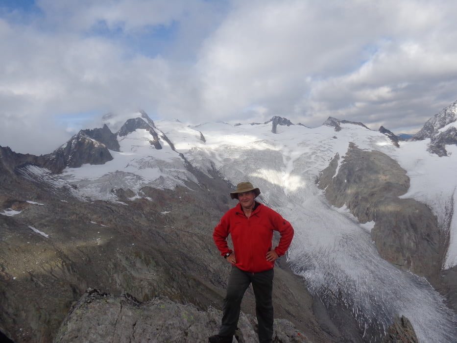
Vom großen Wanderparkplatz in Kasern taleinwärts zur Hl.Geist-Kirche. Durch das Windtal hinauf zur Lenkjöchlhütte. Von dort kurz zurück zur Abzweigung zu den Umbaltörln. Hinunter zum Gletscherrest und die Moräne hinauf zur Abzweigung Vorderes und Hinteres Umbaltörl. Hier gerade hinauf entlang des Schneefeldes und den Steigspuren folgend zum Grat. Links haltend wird das Gipfelkreuz erreicht.

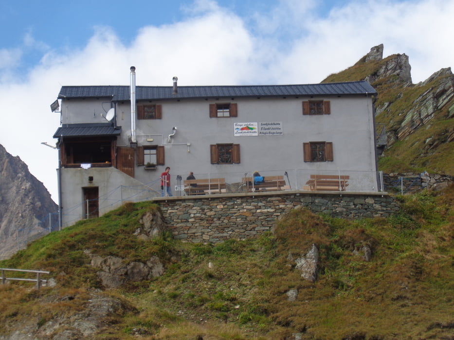
Abstieg auf dem Anstiegsweg. Übernachtung auf der Lenkjöchlhütte sehr empfehlenswert und weiter Abstieg durch das Röttal.

Galerie du tour

Carte du tour et altitude

  • Open Street Map
  • Google
Minimum height 1593 m Maximum height 3051 m Vue de détail

More about the tour author

JoHangler
Member since 2013

Send private message

Commentaires

Von Bruneck nach Sand i. Taufers und durch das Ahrntal über Prettau nach Kasern.

Tracks GPS

Trackpoints
  • GPX / Garmin Map Source (gpx) download
  • TCX / Garmin Training Center® (tcx) download
  • CRS / Garmin Training Center® (crs) download
  • Google Earth (kml) download
  • G7ToWin (g7t) download
  • TTQV (trk) download
  • Overlay (ovl) download
  • Fugawi (txt) download
  • Kompass (DAV) Track (tk) download
  • Feuille de tours (pdf) download
  • Original file of the author (gpx) download

More about the tour author

JoHangler
Member since 2013

Send private message
Share track
Add to my favorites
Remove from my favorites
Edit tags
My score
Rate
Tour: Ahrner Kopf
Cat.: Tour en montagne
Longueur: 11,1 km
Evaluated on:
Durée:
Day(s)
Hour(s)
Minute(s)
Evaluation: Paysage Aspect amusement Condition Technique