Login

Login oublié ?

Cookies have to be accepted!
Your browser's cookie functionality is disabled. Please enable this functionality.

Not a member yet?

Register now
Login

Available for registred users only

Log in to use this feature.

Login oublié ?

Cookies have to be accepted!
Your browser's cookie functionality is disabled. Please enable this functionality.

Not a member yet?

Register now
Filter
Catégories
Advanced filters
  • Longueur (km)
  • Altimètre
Enregistrer le filtre Reset filter

TrackRank

QRCode

Technical data

Longueur4,2 km Altimètre61 m Way down63 m Durée01:00 h:m Date05.11.2015
Evaluations Author Paysage Aspect amusement Condition Technique

Statistiques

477 Vues Evaluations 25 Téléchargements Moyenne
Rate
  • Feuille de tours
  • Arrivée
  • Téléchargements

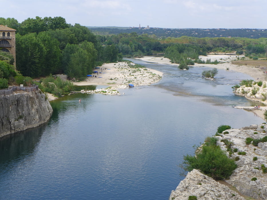
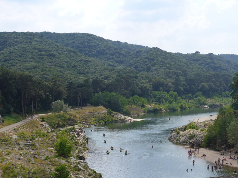
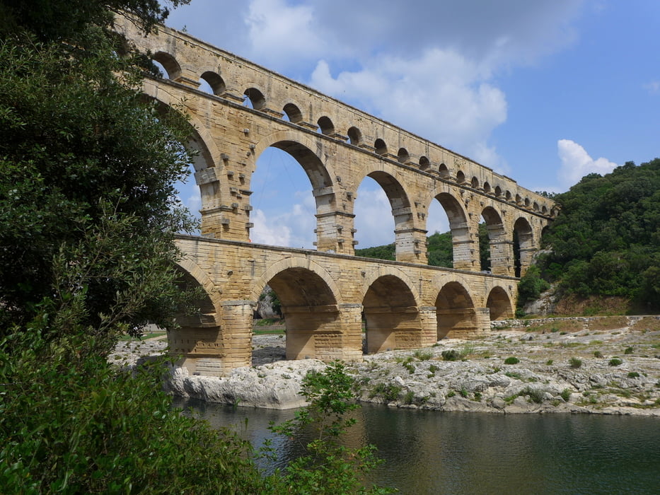
Wegverlauf: Straßenkreuzung D981/D227 westl. Bégude de Vers Pont du Gard - Pont du Gard - D981/D227

Spaziergang zur Brücke. Man spart so die hohe Gebühr auf dem offiziellen Parkplatz.


Galerie du tour

Carte du tour et altitude

  • Open Street Map
  • Google
Minimum height 34 m Maximum height 73 m Vue de détail

More about the tour author

lothardomnik
Member since 2009

Send private message

Commentaires

Tracks GPS

Trackpoints
  • GPX / Garmin Map Source (gpx) download
  • TCX / Garmin Training Center® (tcx) download
  • CRS / Garmin Training Center® (crs) download
  • Google Earth (kml) download
  • G7ToWin (g7t) download
  • TTQV (trk) download
  • Overlay (ovl) download
  • Fugawi (txt) download
  • Kompass (DAV) Track (tk) download
  • Feuille de tours (pdf) download
  • Original file of the author (gpx) download

More about the tour author

lothardomnik
Member since 2009

Send private message
Share track
Add to my favorites
Remove from my favorites
Edit tags
My score
Rate
Tour: Pont du Gard
Cat.: Randonnées
Longueur: 4,2 km
Evaluated on:
Durée:
Day(s)
Hour(s)
Minute(s)
Evaluation: Paysage Aspect amusement Condition Technique