Login

Login oublié ?

Cookies have to be accepted!
Your browser's cookie functionality is disabled. Please enable this functionality.

Not a member yet?

Register now
Login

Available for registred users only

Log in to use this feature.

Login oublié ?

Cookies have to be accepted!
Your browser's cookie functionality is disabled. Please enable this functionality.

Not a member yet?

Register now
Filter
Catégories
Advanced filters
  • Longueur (km)
  • Altimètre
Enregistrer le filtre Reset filter

TrackRank

QRCode

Technical data

Longueur15,8 km Altimètre615 m Way down614 m Durée04:00 h:m Date05.11.2015
Evaluations Author Paysage Aspect amusement Condition Technique

Statistiques

185 Vues Evaluations 12 Téléchargements Moyenne
Rate
  • Feuille de tours
  • Arrivée
  • Téléchargements

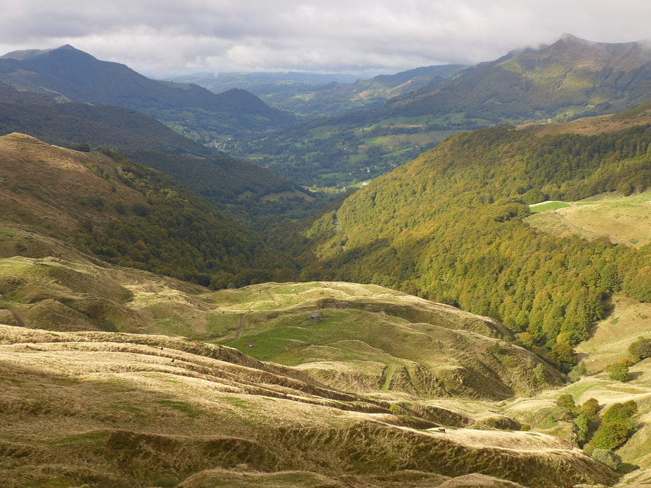
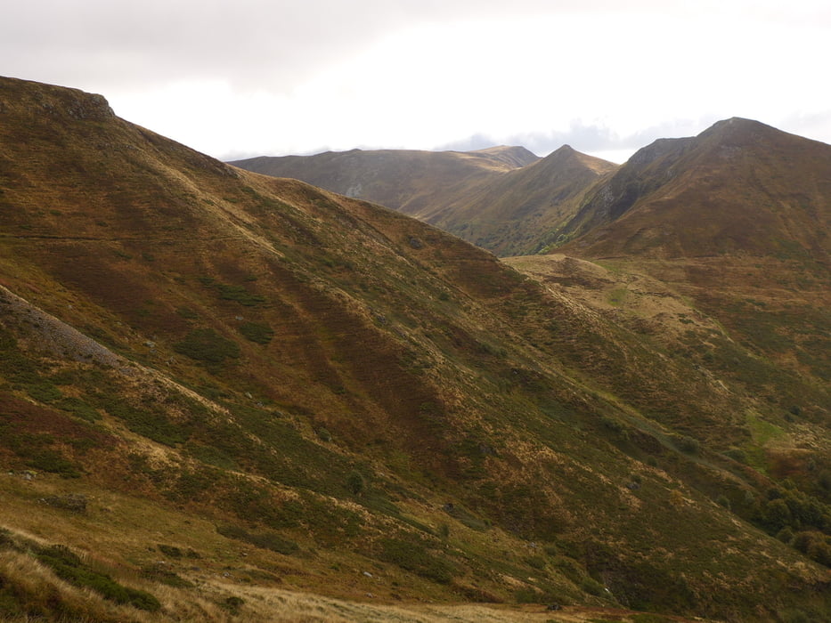
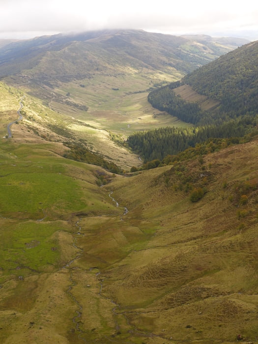
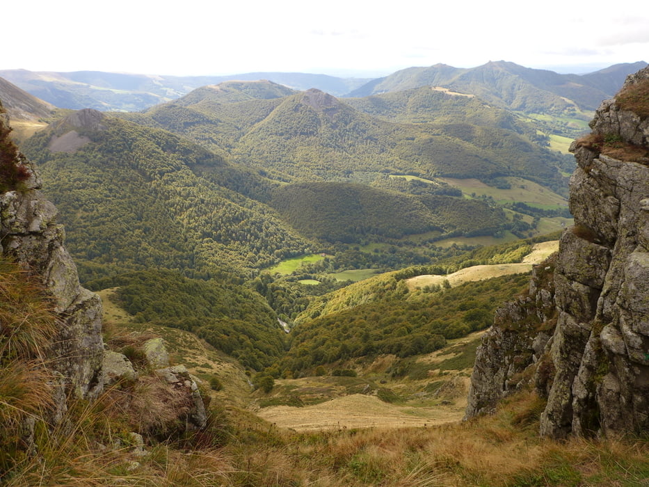
Wegverlauf: Font de Col de Cère bei Lioran - Col de Rombière - Col de Cabre - Brèche de Roland - Col de Pas de Peyrol u. zur.

Der Weg ist am Anfang extrem steil, verläuft dann die meiste Zeit ohne große Steigungen am Hang oder auf dem Kamm. Zum Schluss führt der Track am Puy Mary vorbei, weil am Aufzeichnungstag Nebel herrschte. Der Berg kann aber auch überquert werden; der Weg ist klar erkennbar. 

Galerie du tour

Carte du tour et altitude

  • Open Street Map
  • Google
Minimum height 1292 m Maximum height 1670 m Vue de détail

More about the tour author

lothardomnik
Member since 2009

Send private message

Commentaires

Tracks GPS

Trackpoints
  • GPX / Garmin Map Source (gpx) download
  • TCX / Garmin Training Center® (tcx) download
  • CRS / Garmin Training Center® (crs) download
  • Google Earth (kml) download
  • G7ToWin (g7t) download
  • TTQV (trk) download
  • Overlay (ovl) download
  • Fugawi (txt) download
  • Kompass (DAV) Track (tk) download
  • Feuille de tours (pdf) download
  • Original file of the author (gpx) download

More about the tour author

lothardomnik
Member since 2009

Send private message
Share track
Add to my favorites
Remove from my favorites
Edit tags
My score
Rate
Tour: Volcans d'Auvergne: Cantal
Cat.: Randonnées
Longueur: 15,8 km
Evaluated on:
Durée:
Day(s)
Hour(s)
Minute(s)
Evaluation: Paysage Aspect amusement Condition Technique